Tongariro Crossing

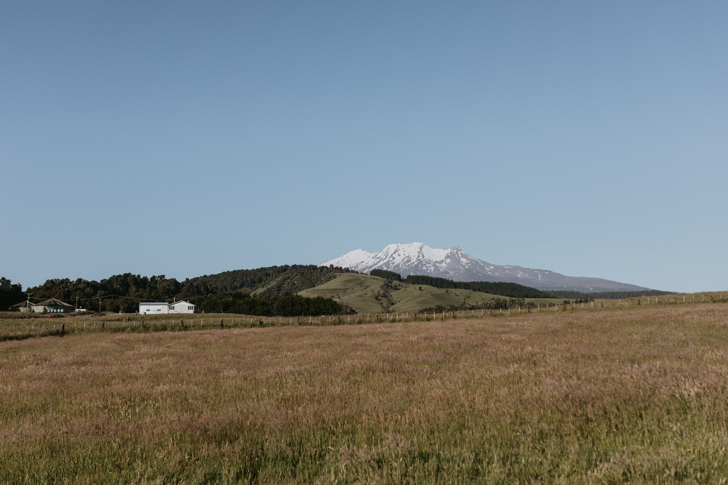
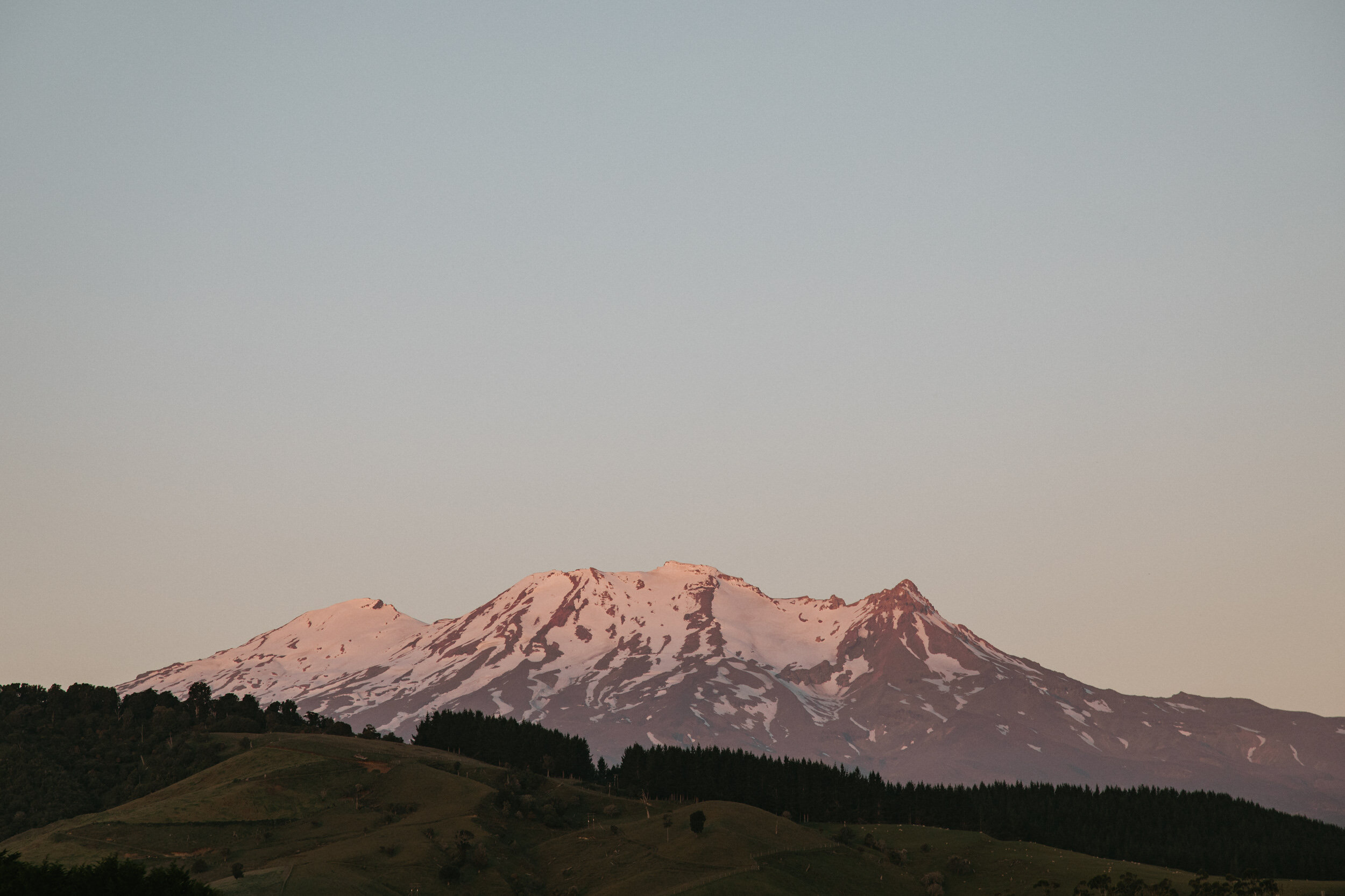
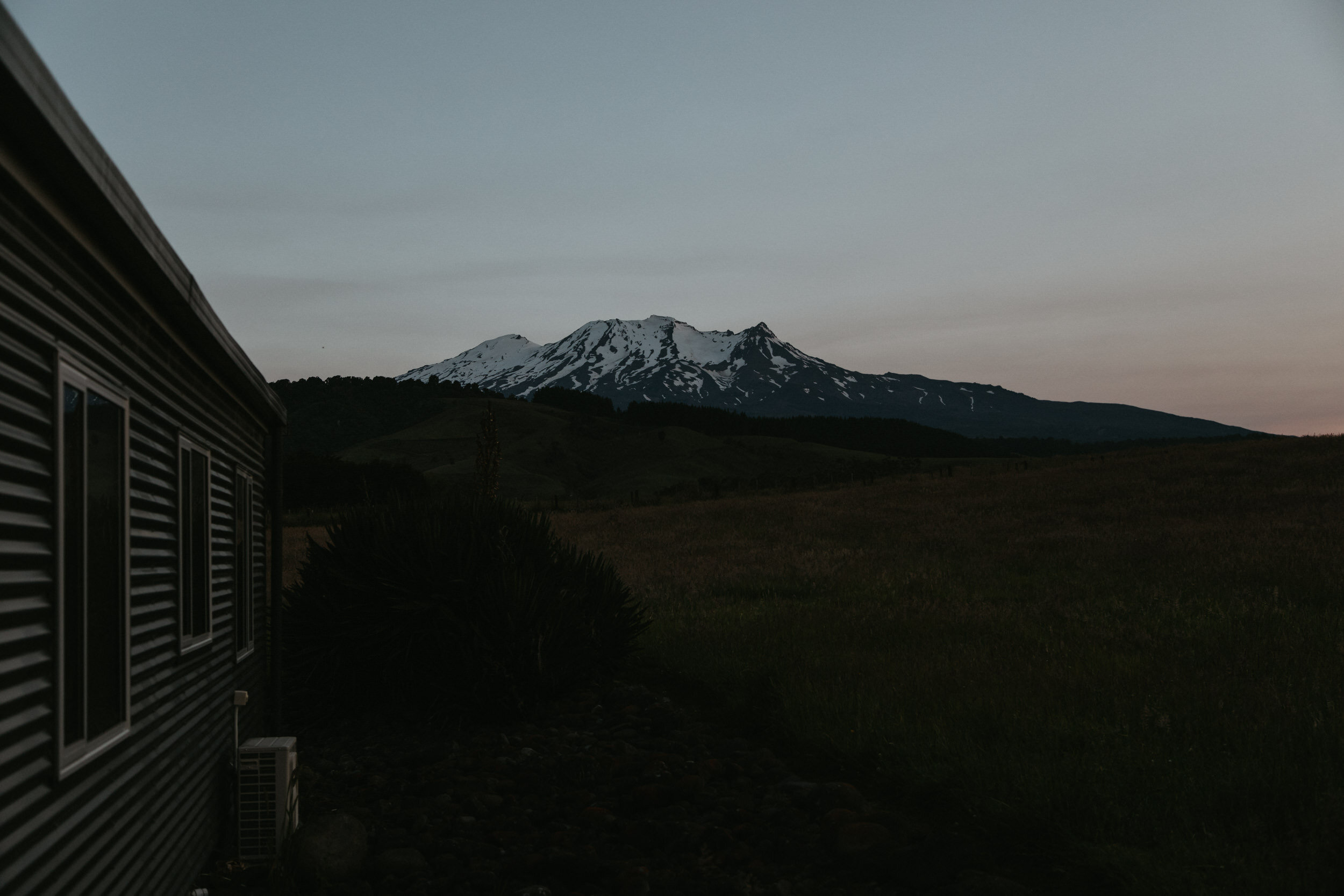
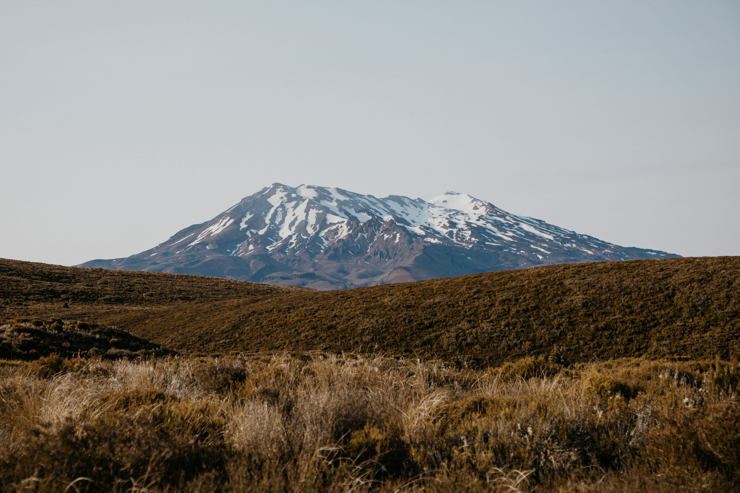
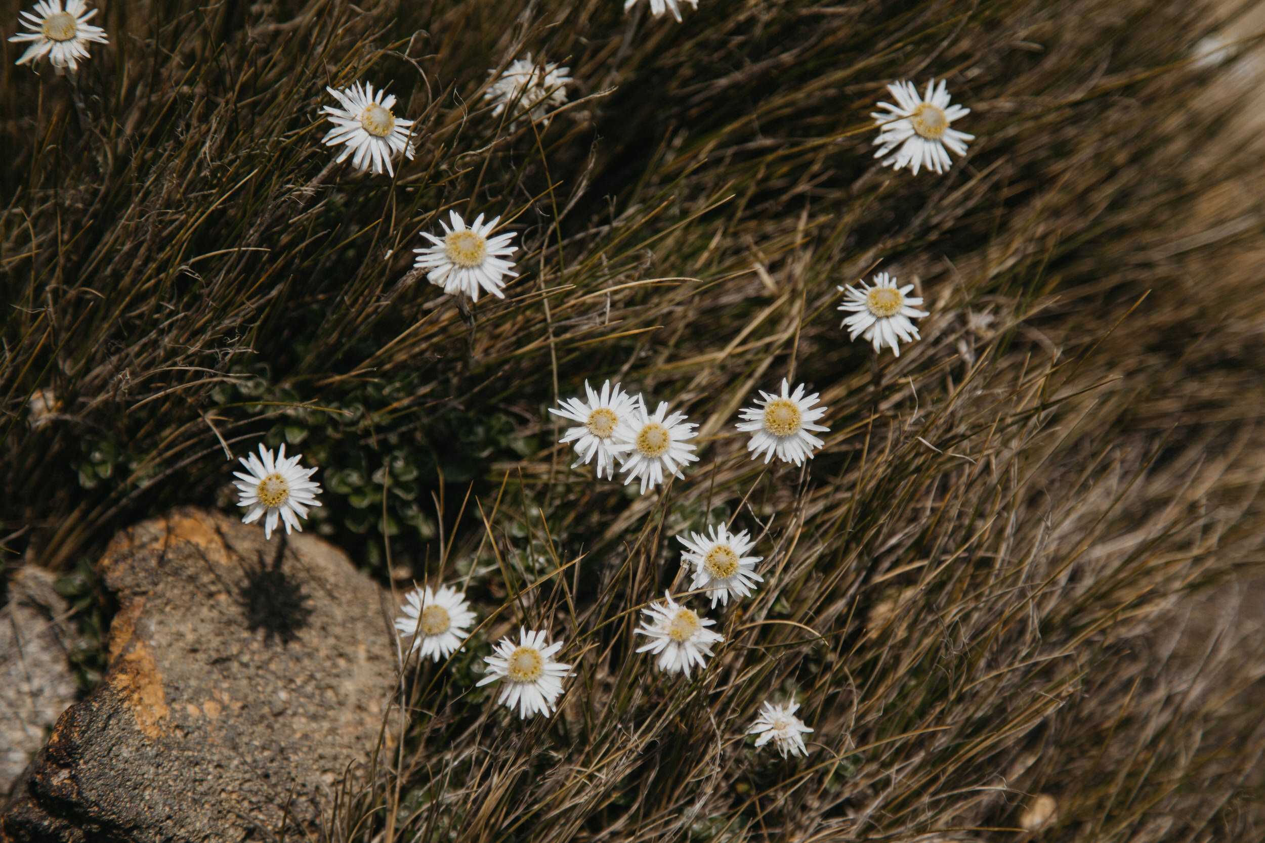
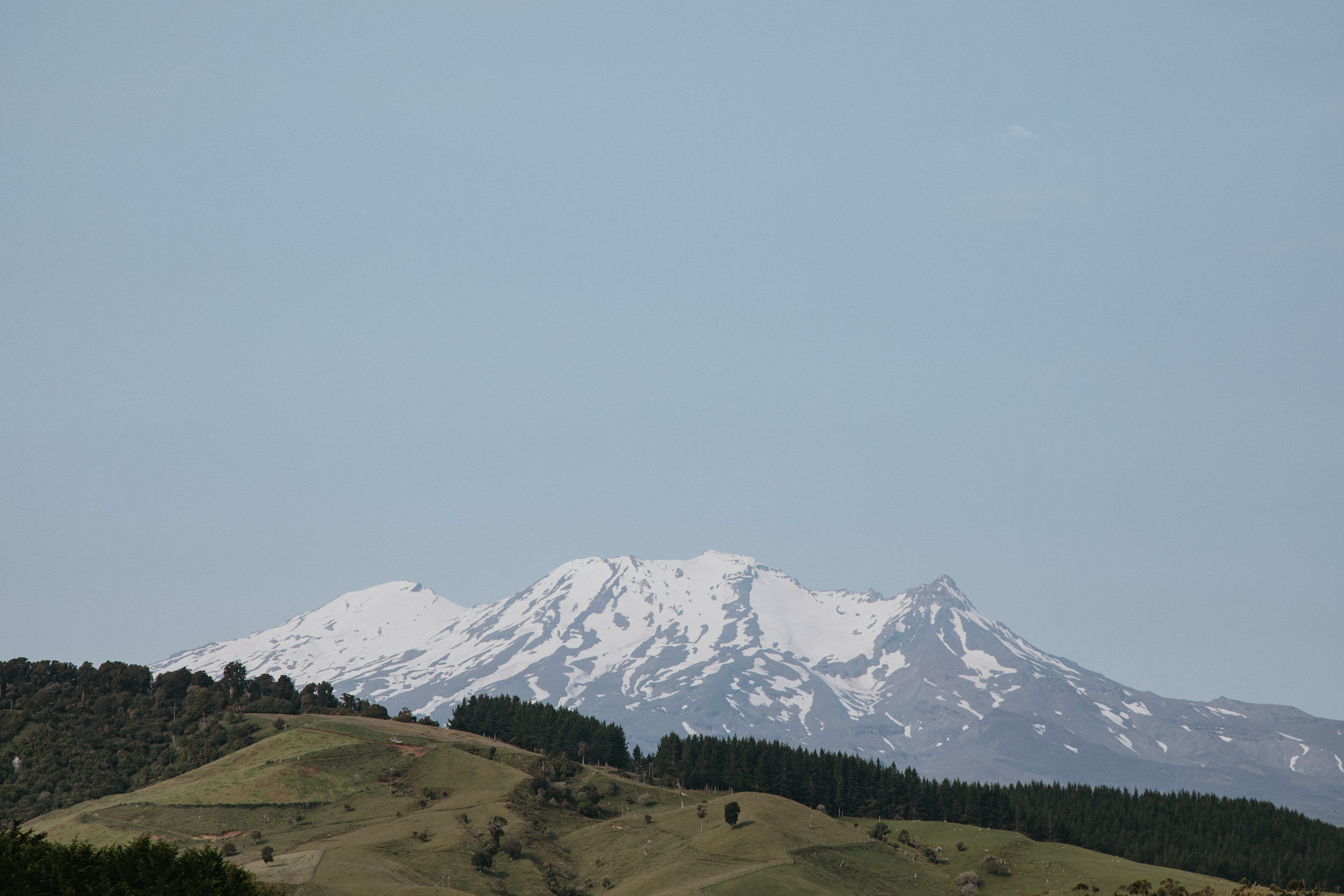
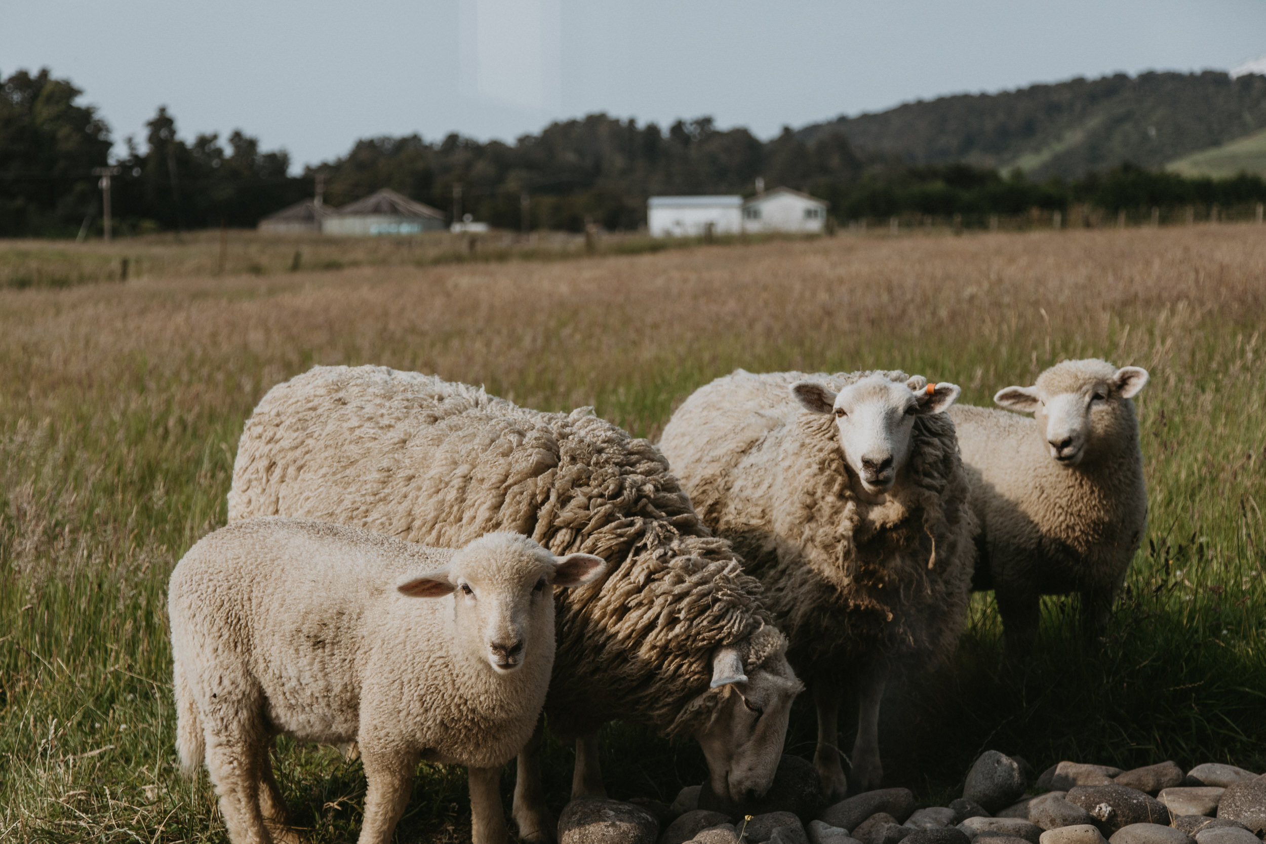
Tongariro National Park is New Zealand's oldest national park and a dual World Heritage Site. The Tongariro National Park is rich in both cultural identity and dramatic, awe-inspiring natural scenery. Unique landforms, including the volcanic peaks of Ngauruhoe, Tongariro and Ruapehu ensure the Tongariro Alpine Crossing is considered a world-renowned trek.
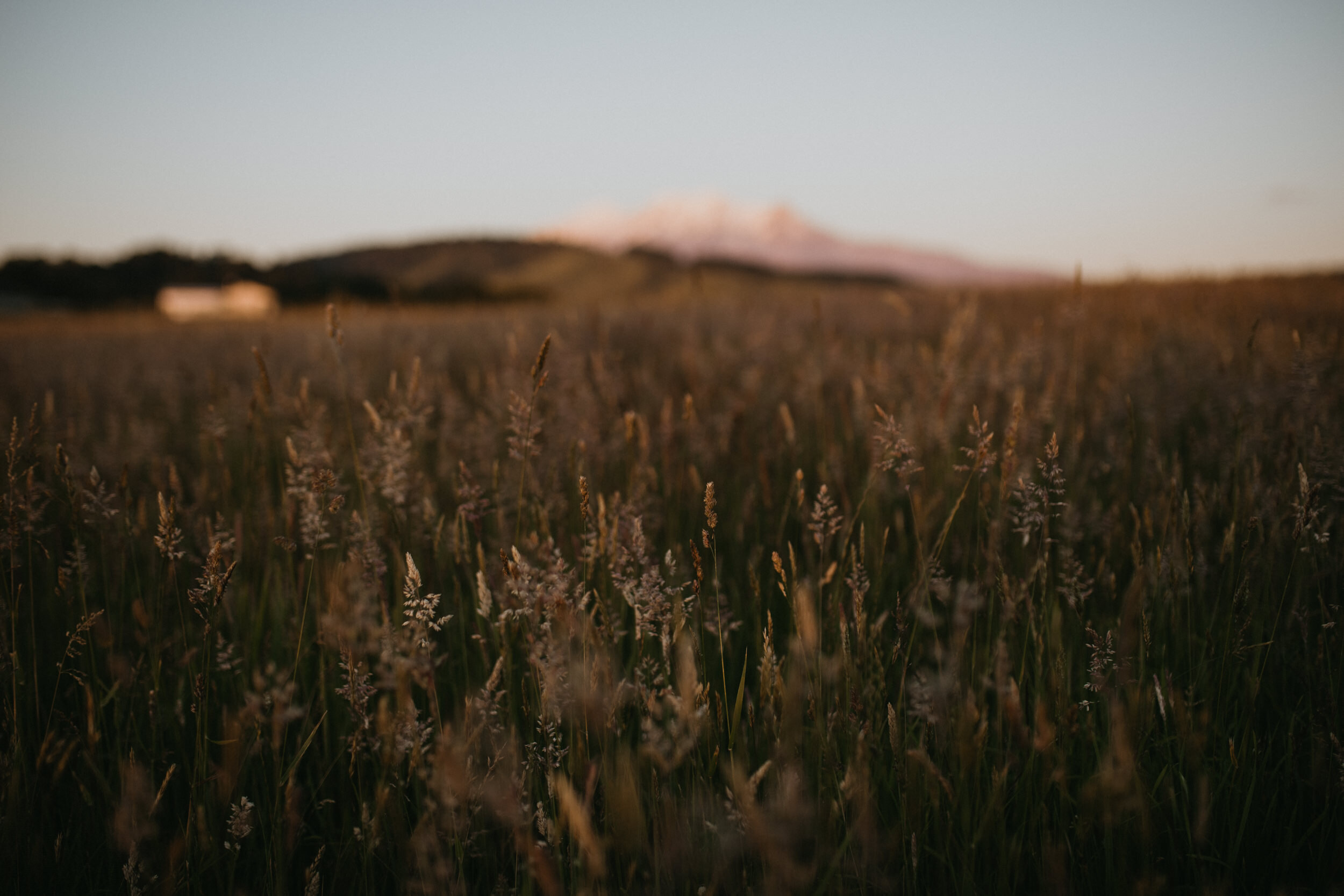
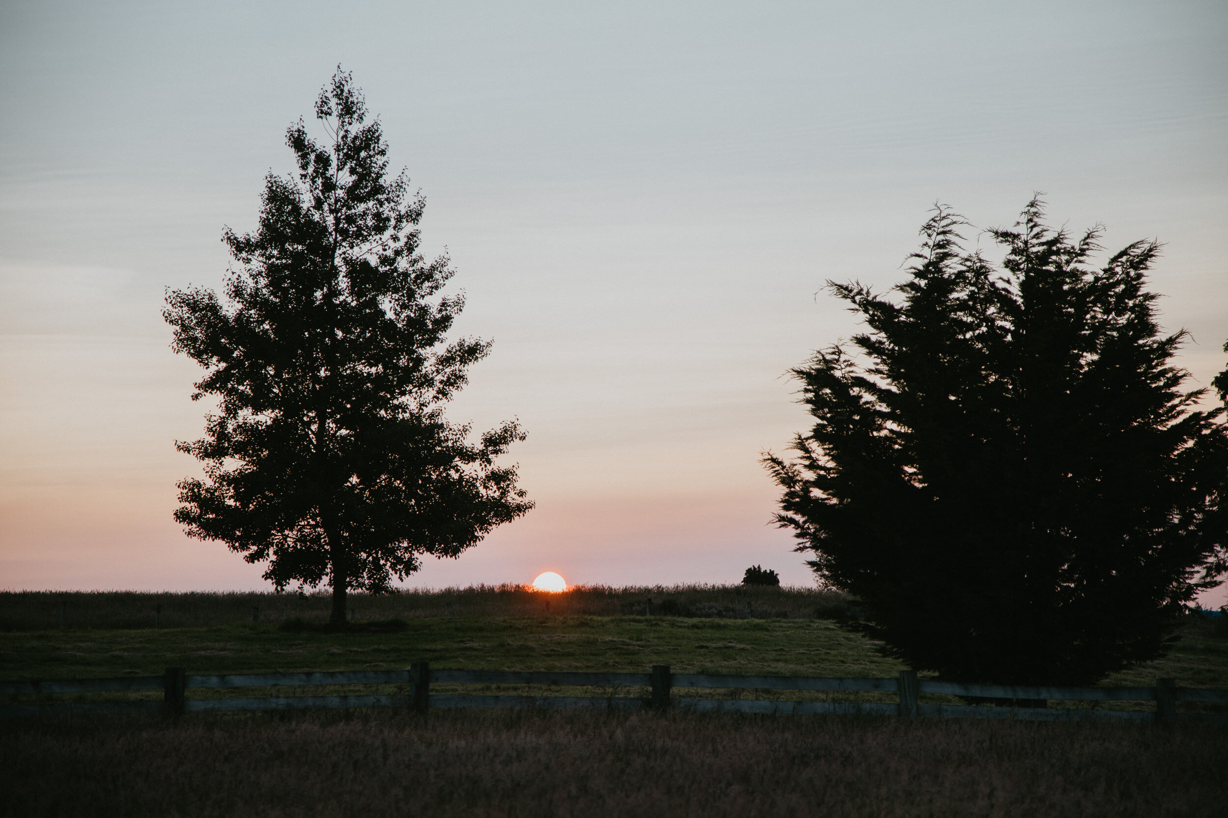
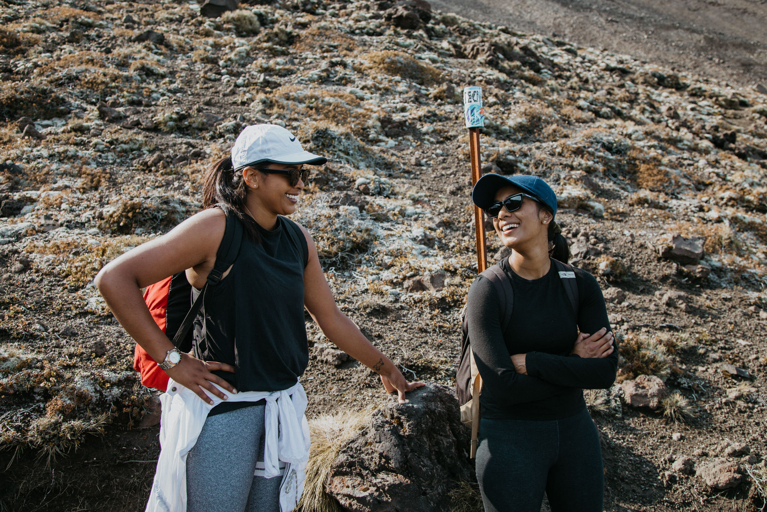
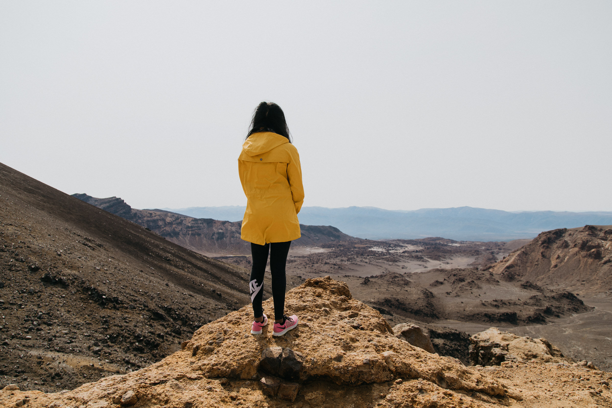
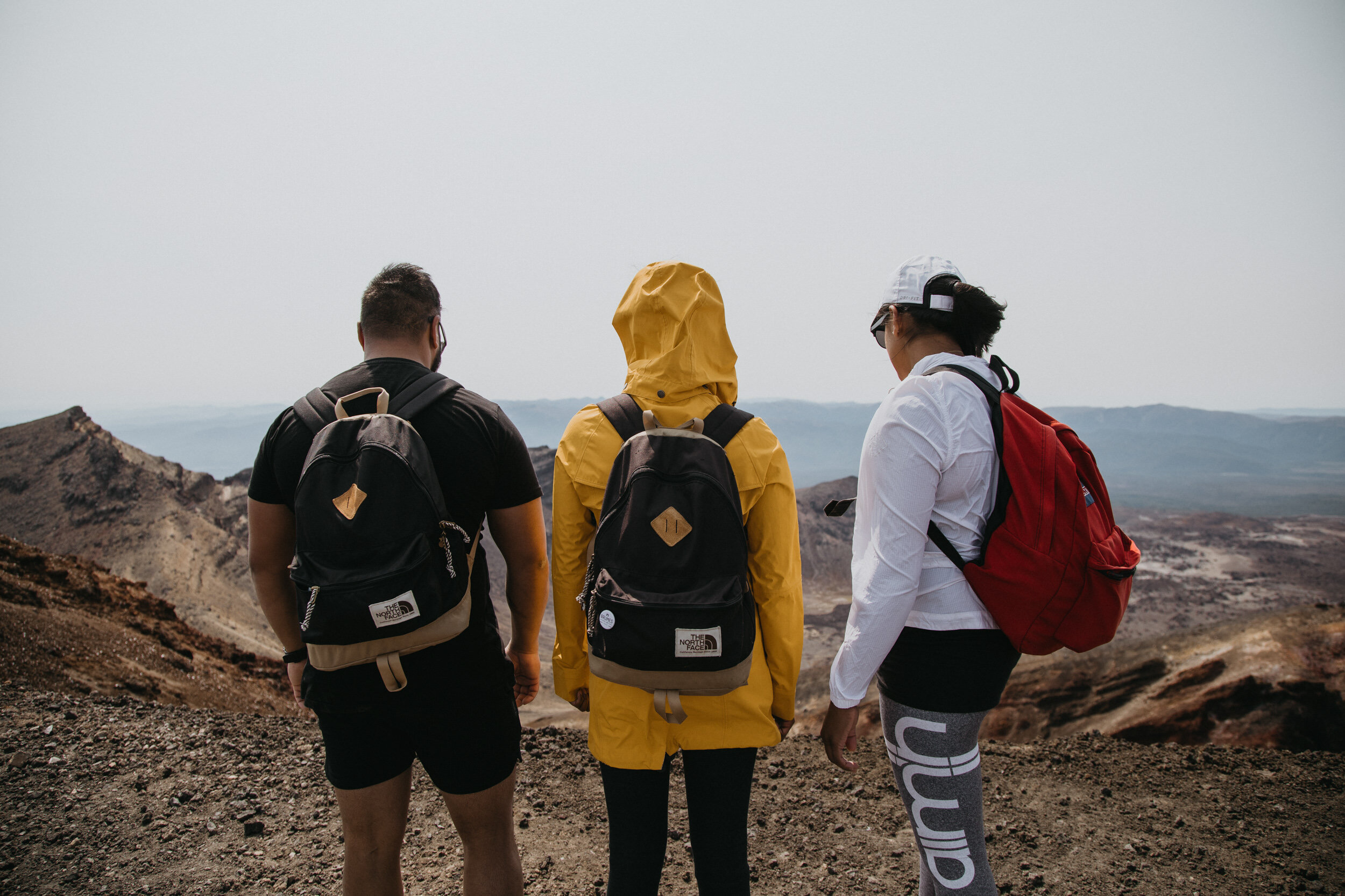
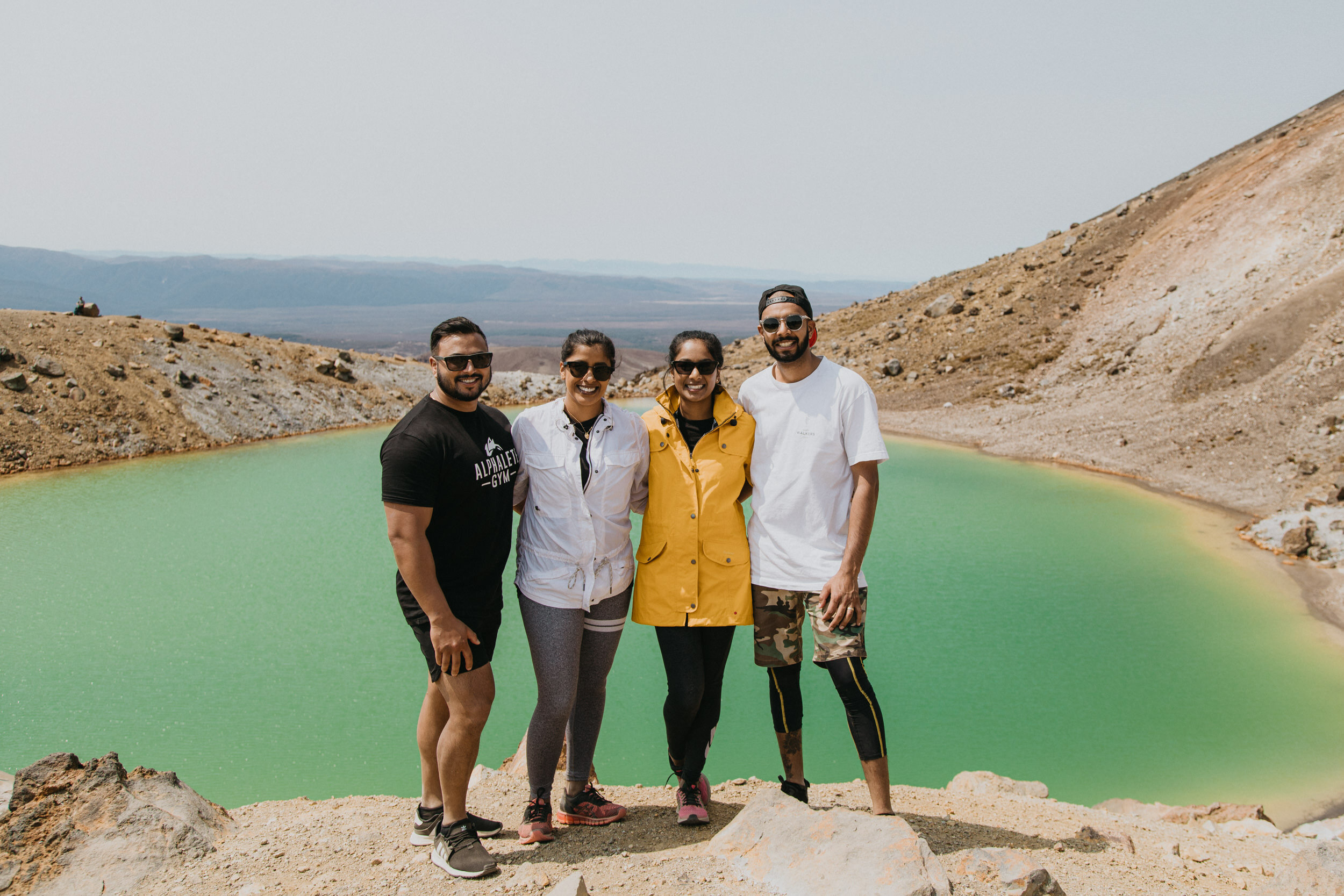
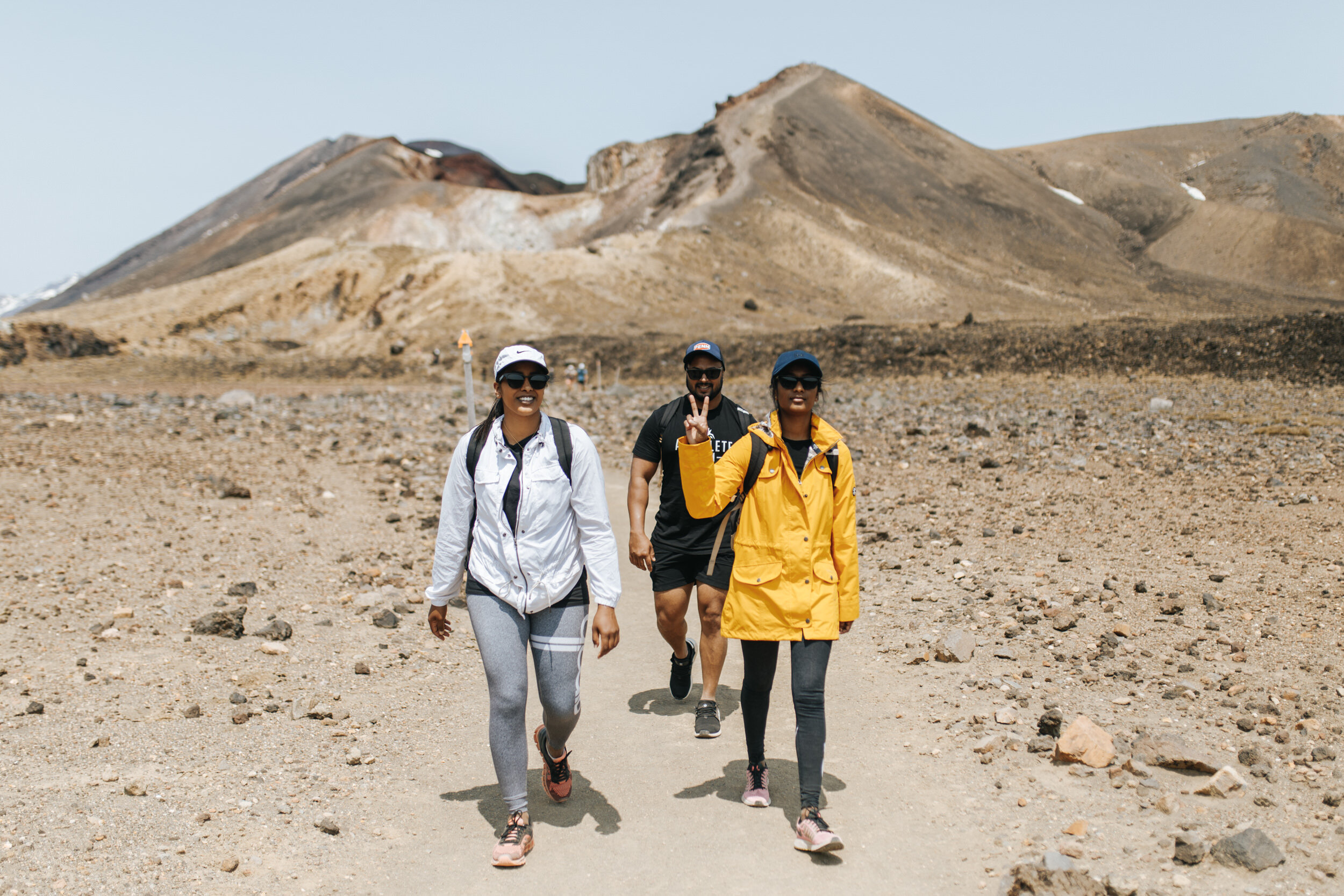
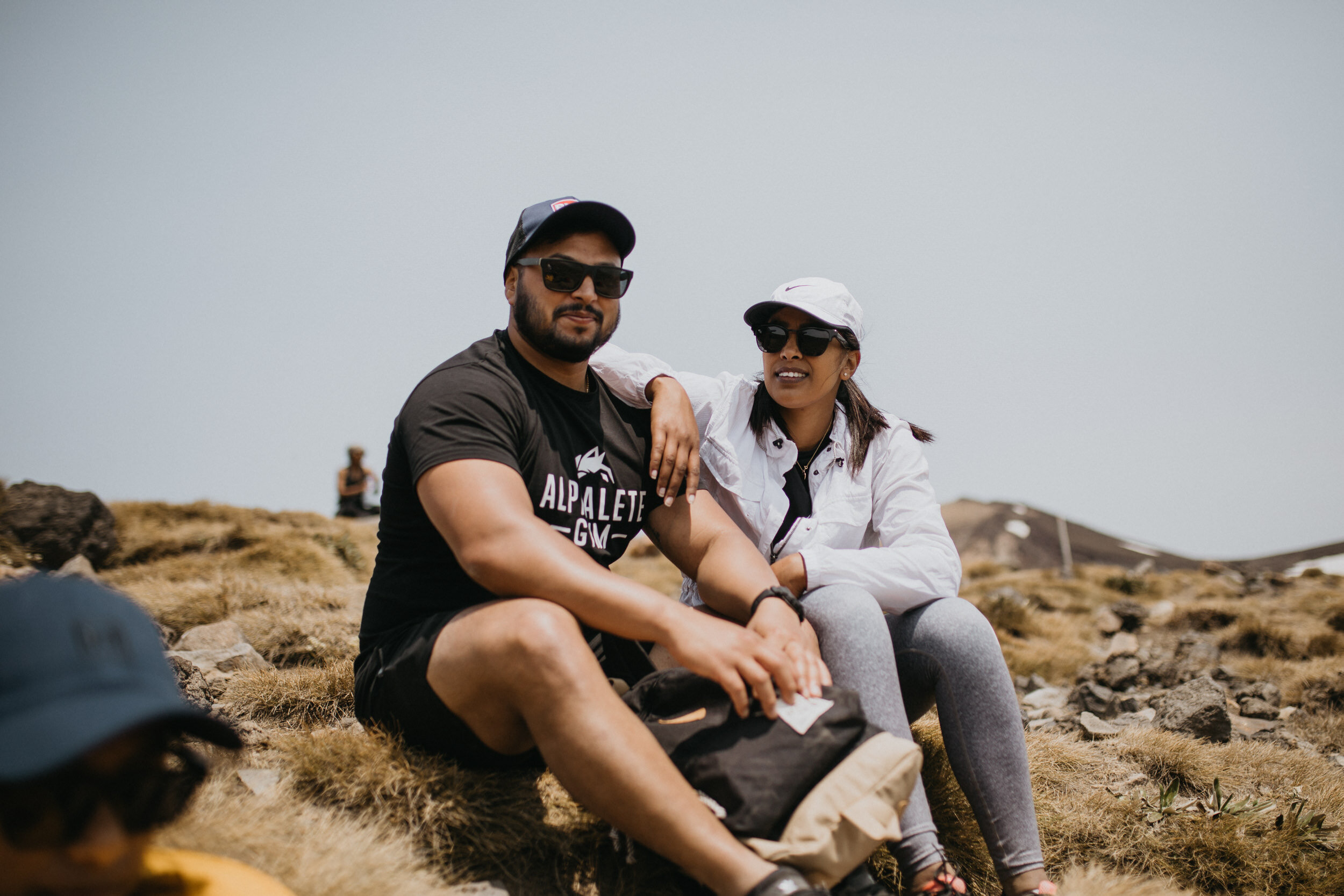
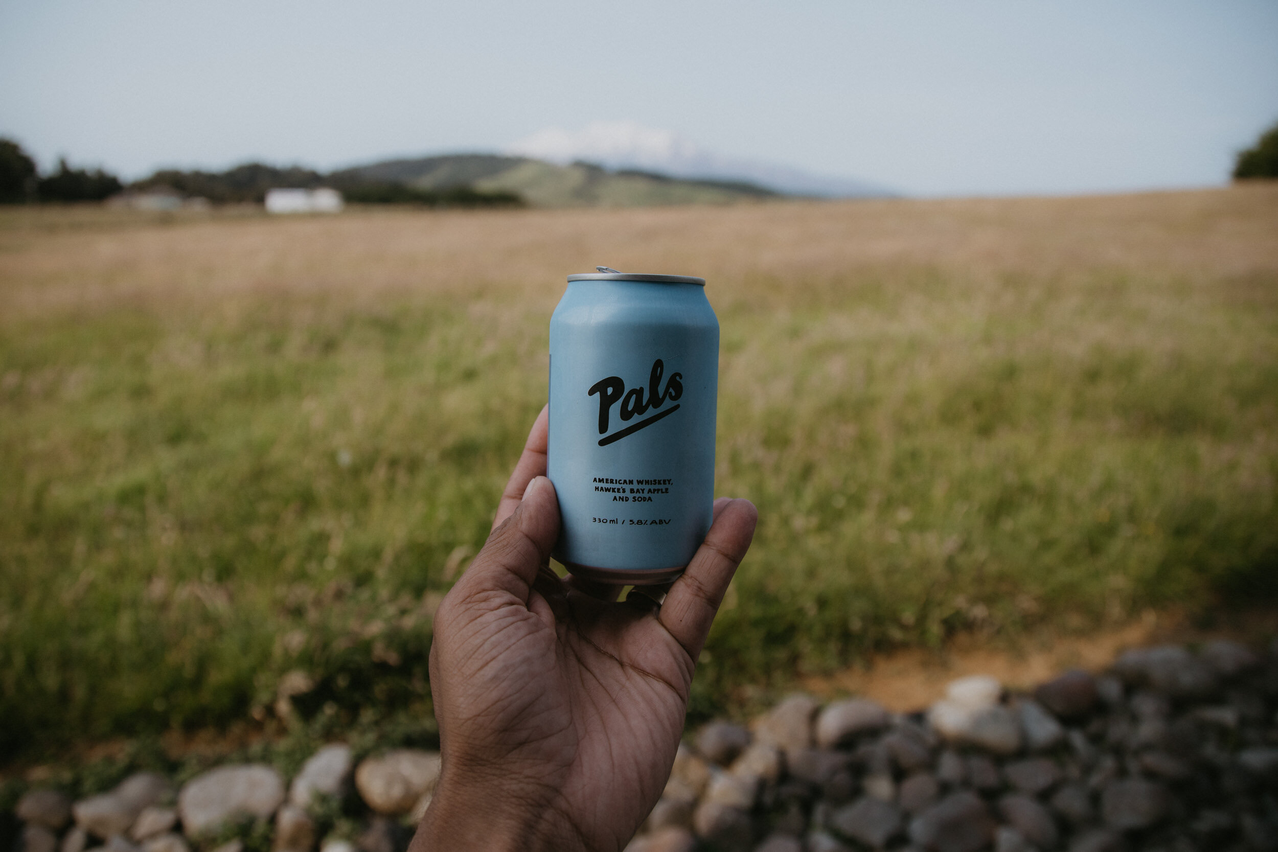
The Tongariro Crossing has been on both our bucket lists for the longest time. The longer we’ve had to organise it, the more likely it would never eventuate. So on the 30th of December at about 5 in the afternoon we decided to lock it in. Weather was looking on point, we had no New Year’s Eve plans and with two friends keen to join us, it was a done deal.
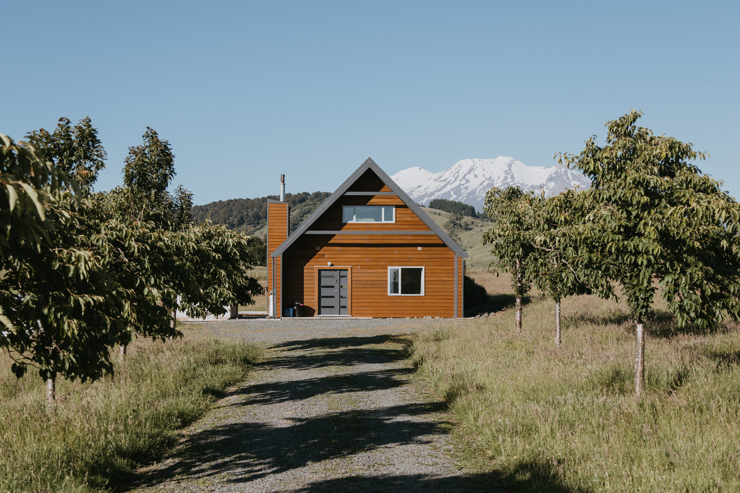
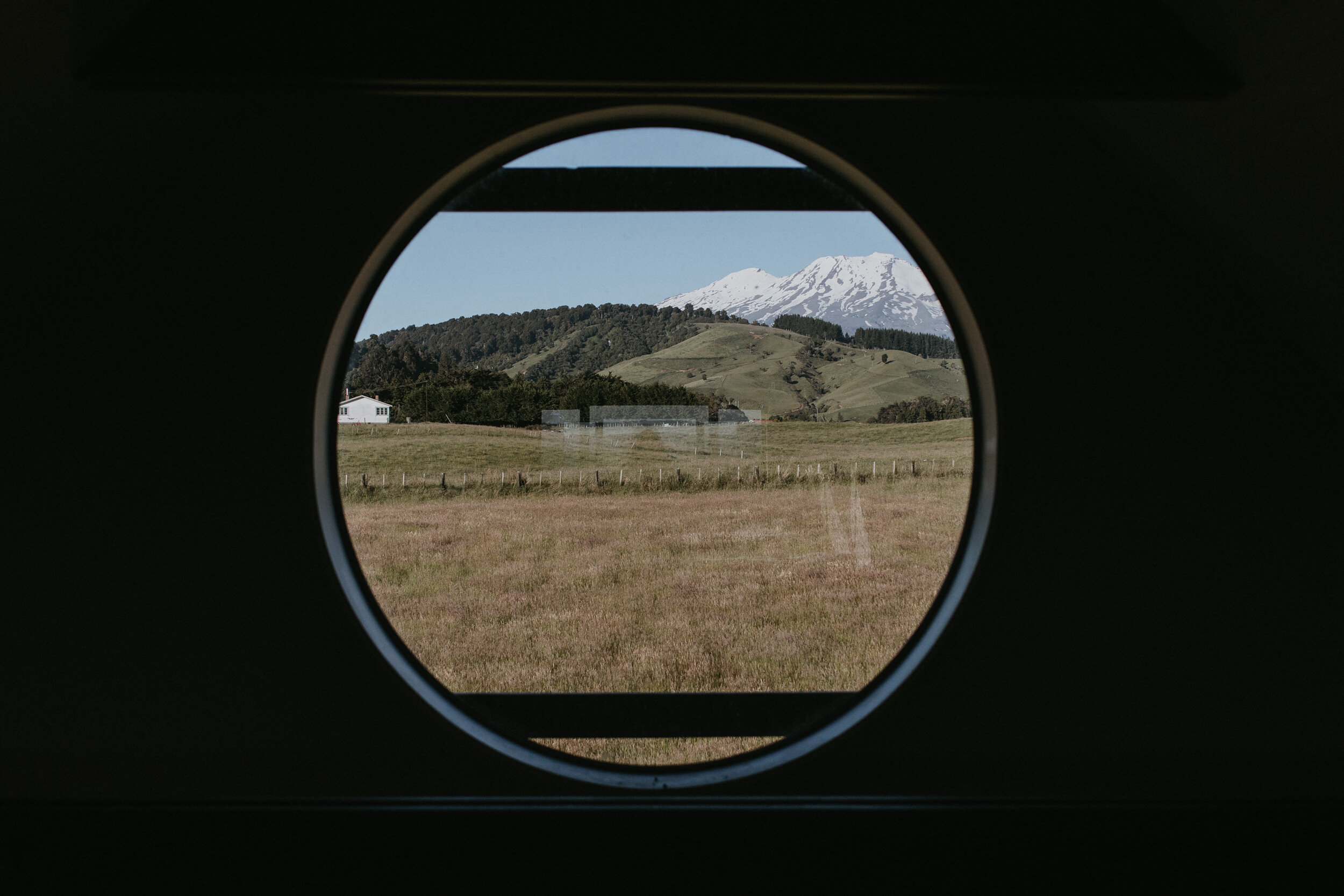
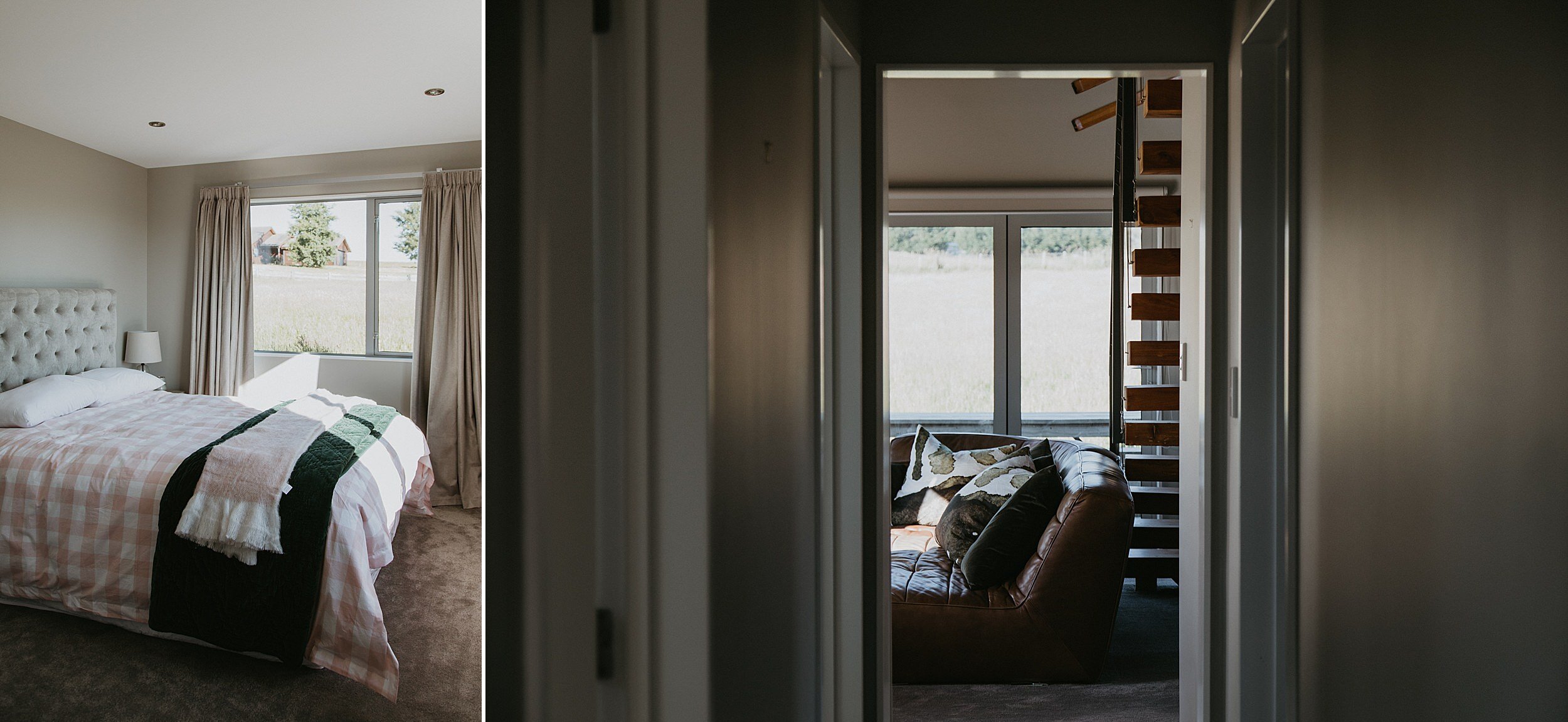
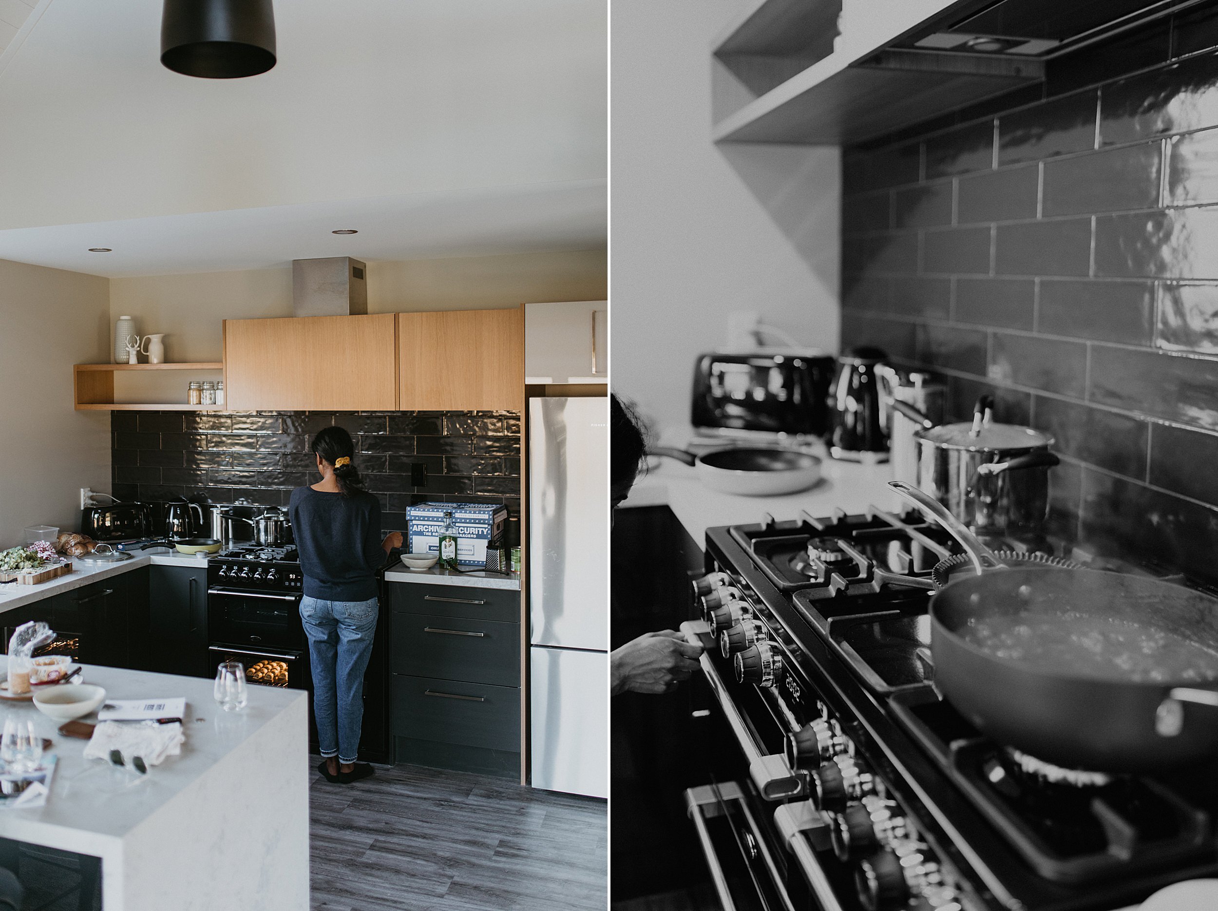
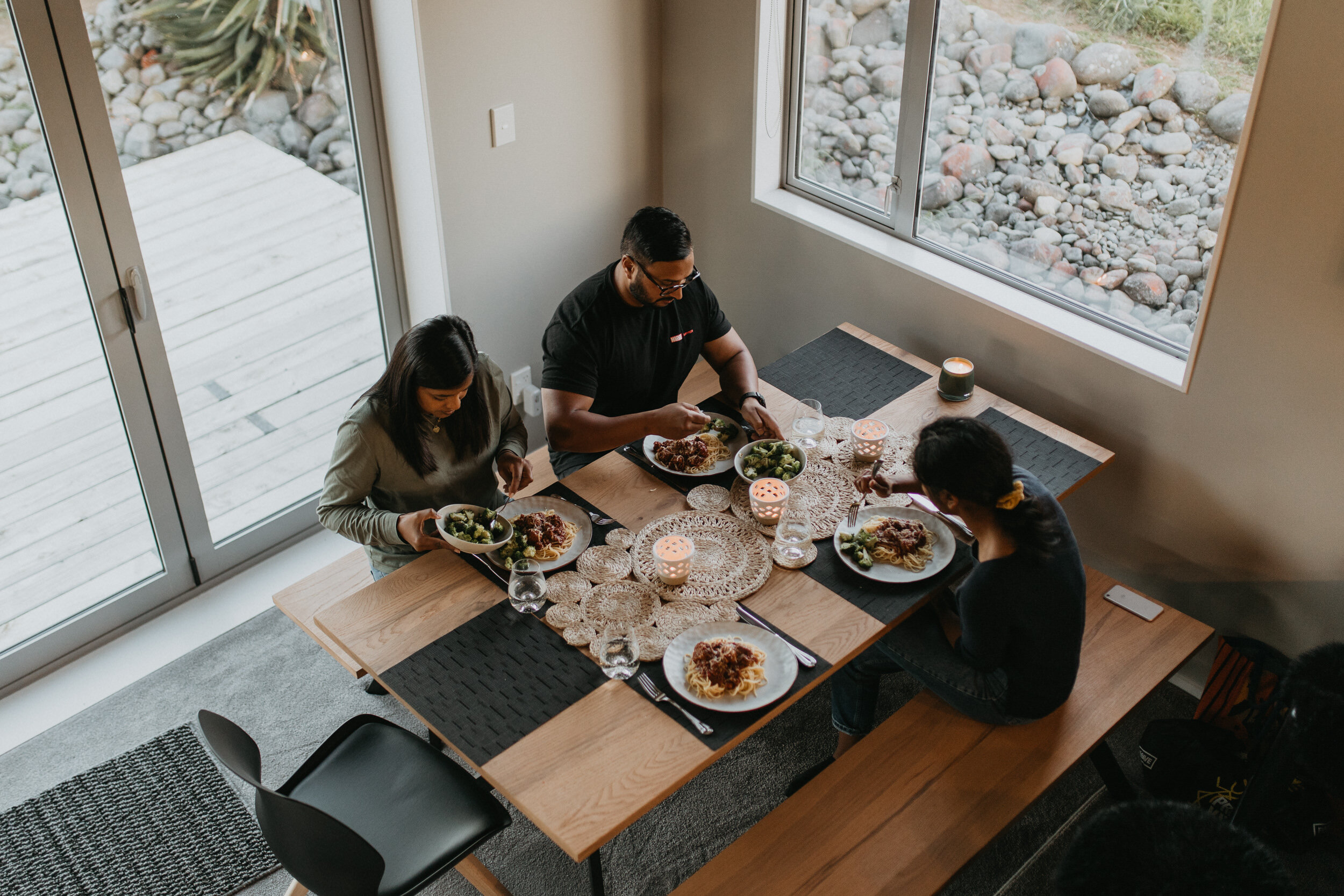
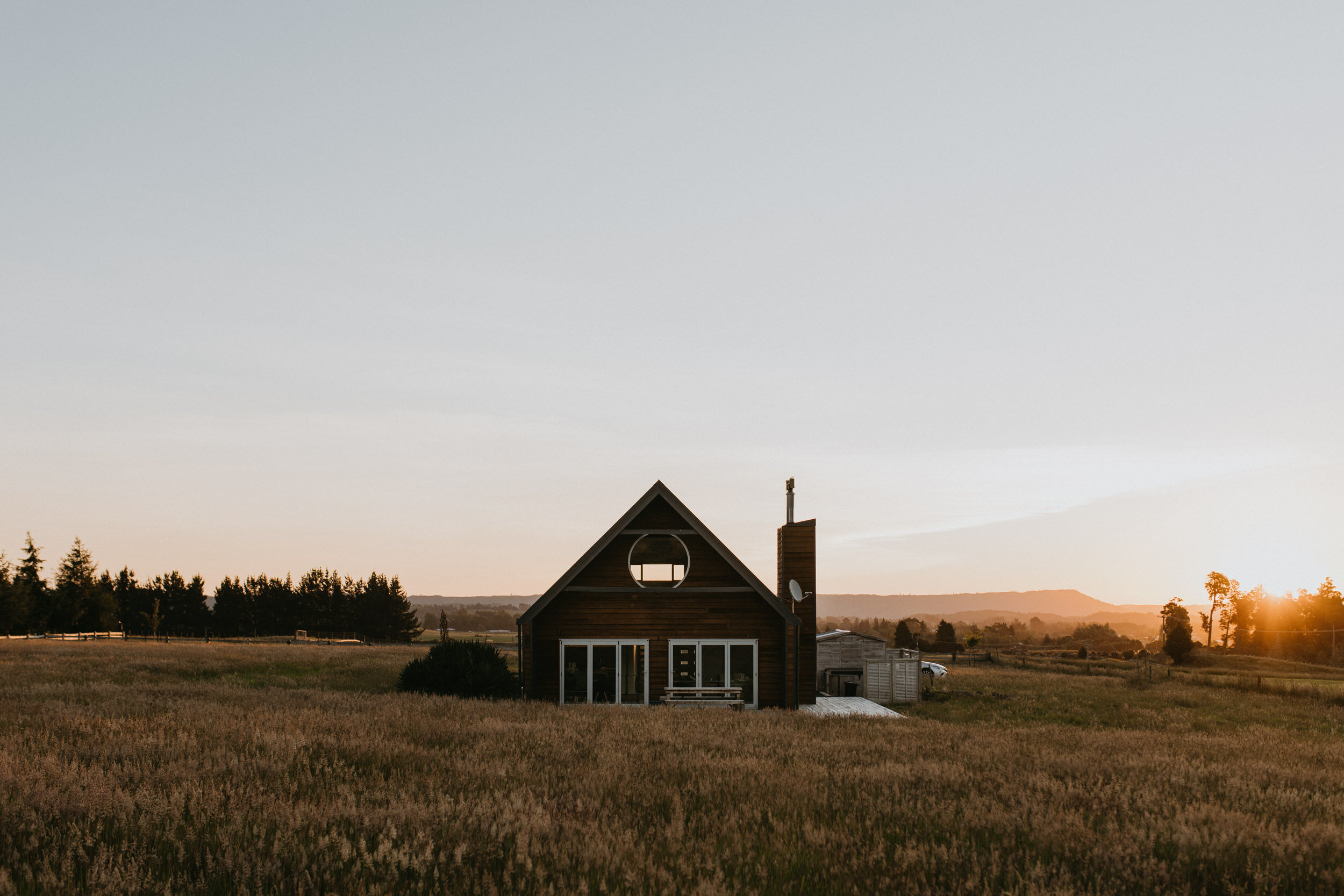
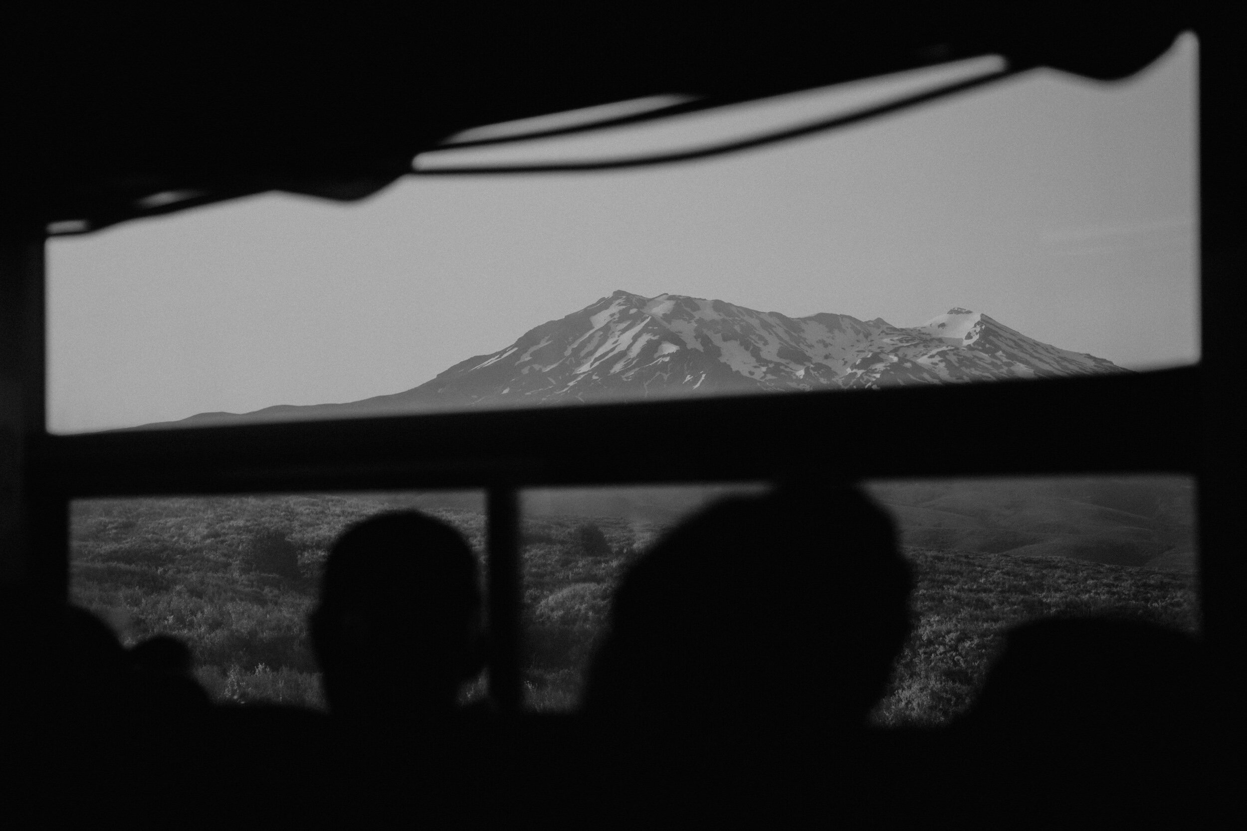
Accommodation booked for two nights in Ohakune and the shuttle booked. We left Auckland just after lunch on the 31st. Headed to Ohakune staying at the most epic of locations (link), made dinner full of carbs and protein. We were in bed and asleep by 10:30pm – a first for New Years Eve in easily a decade! Awaking at 5am, a massive protein fueled breakfast and a sleepy drive to National Park to get our shuttle.


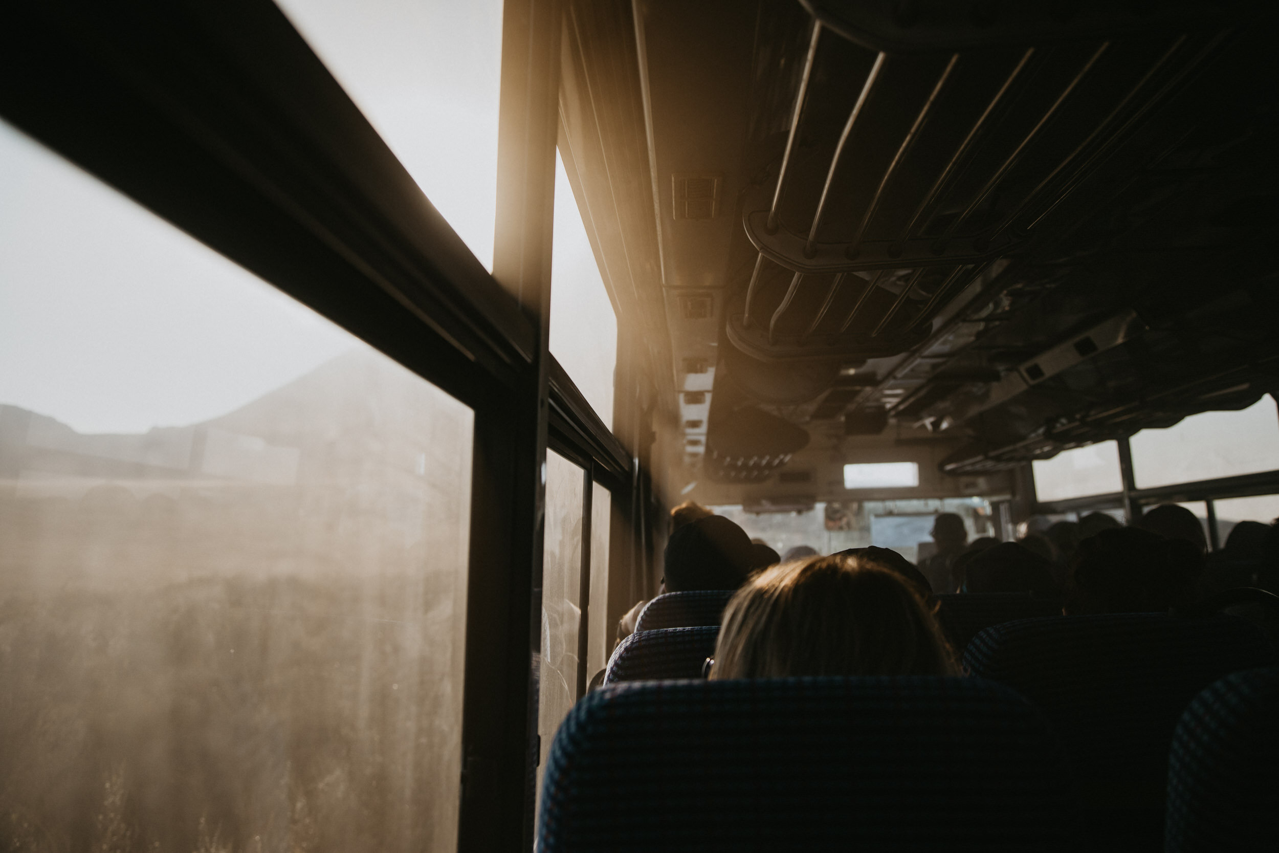
The crossing is not a loop track so you need either two cars, one at the start and one at the finish point. Though the problem with that is the 4 hour limit at the car park now so the majority of people will opt for a shuttle. We paid $40 per person return (link).
They have different departure times from 6am and every hour after that until 10am. Then pick up is from 1:30pm at the finish, and each hour until 5:30pm. But if you believe you won’t make it in time for the last scheduled shuttle, you can ring them and they will pick you up at no cost.
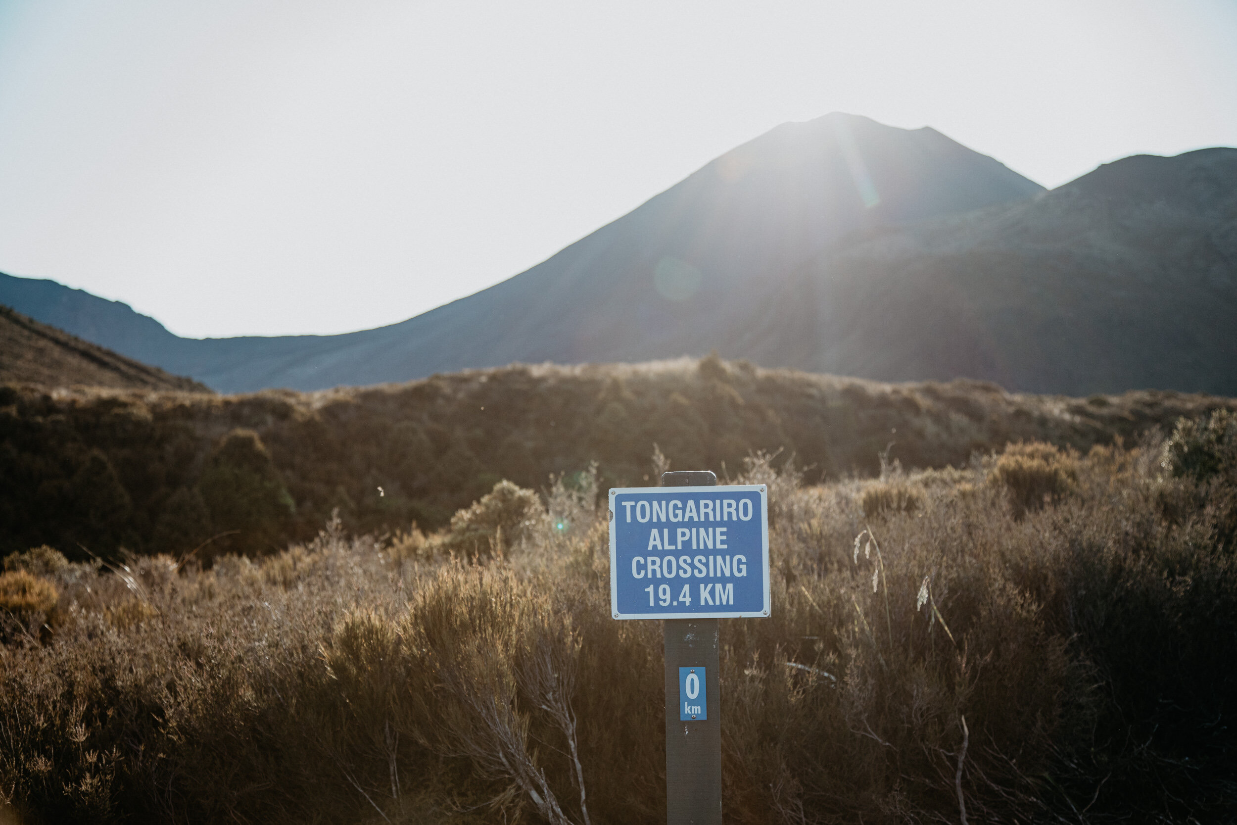
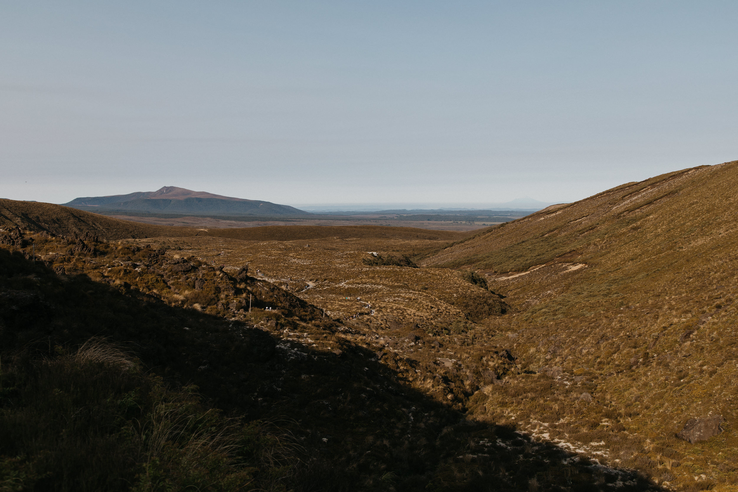
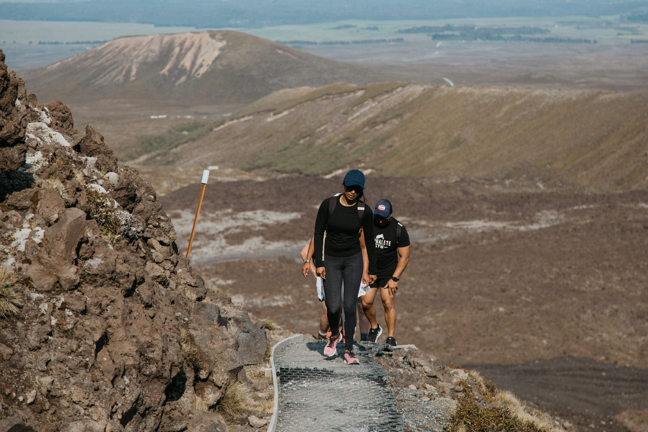
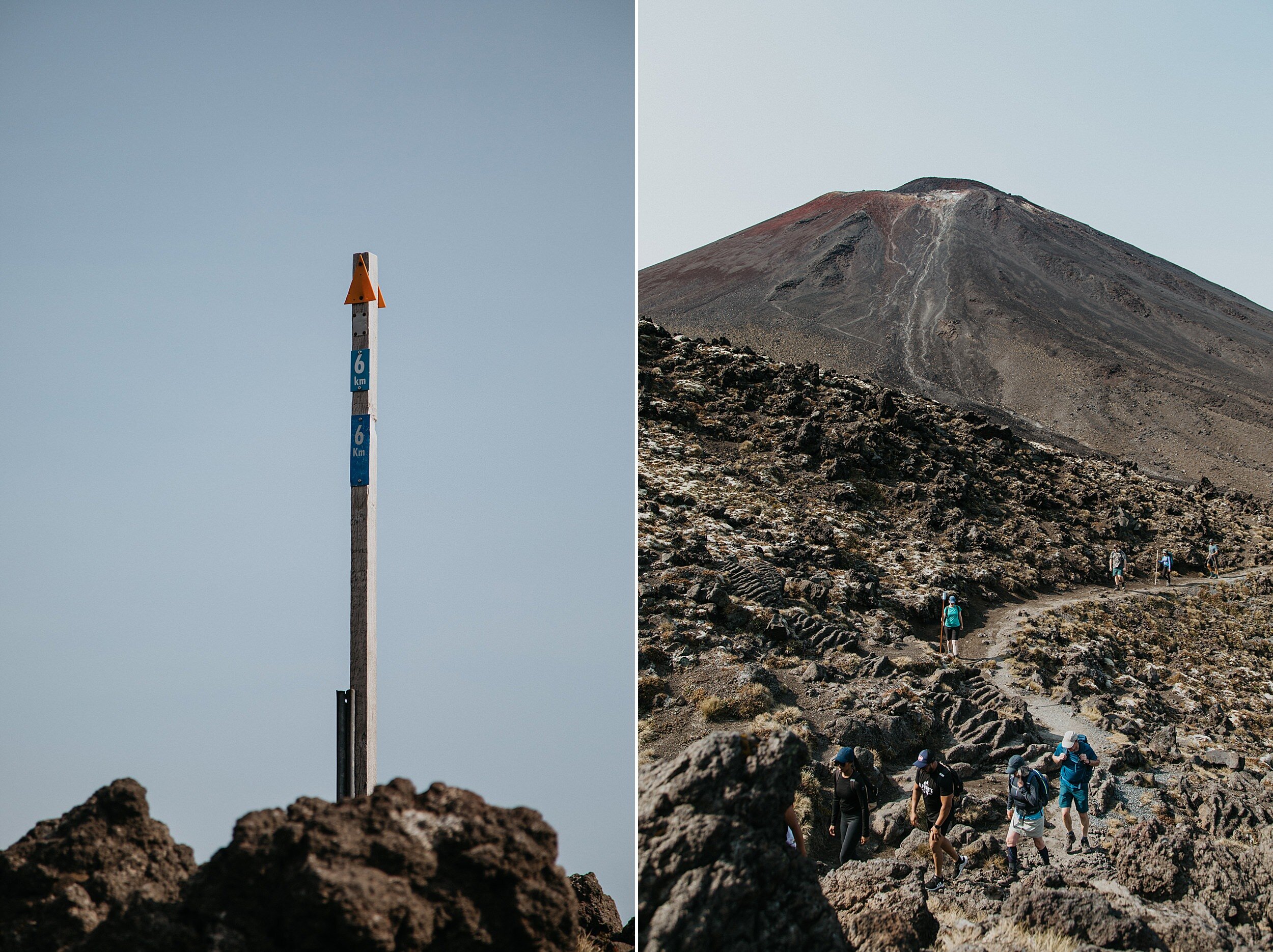
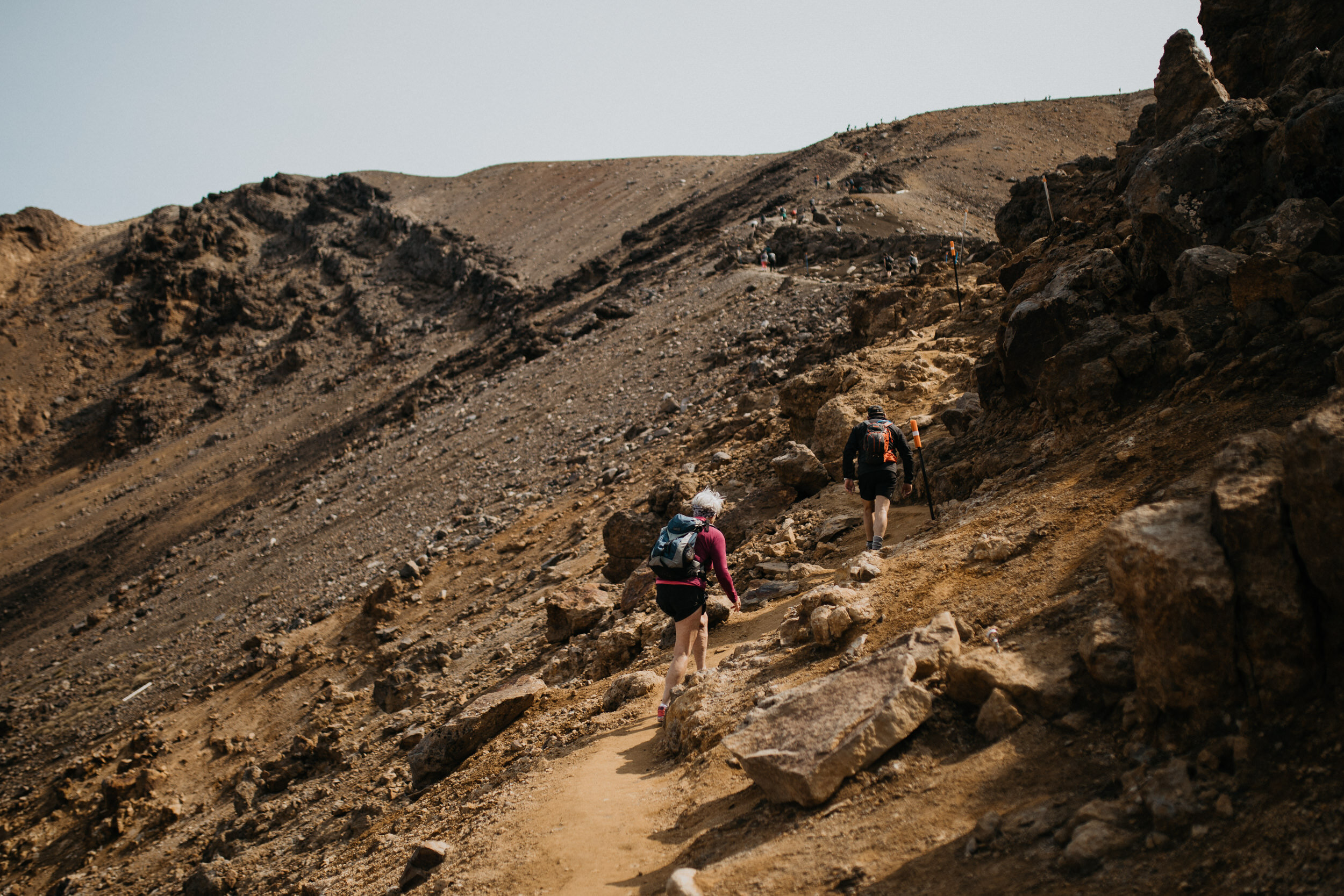
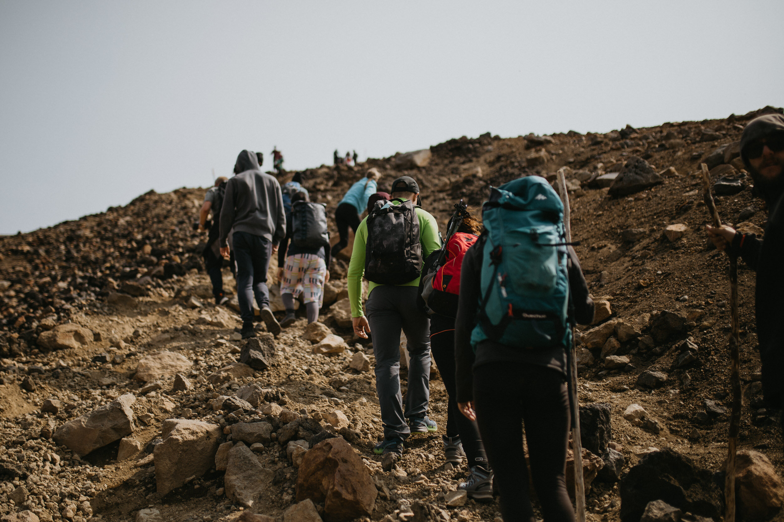
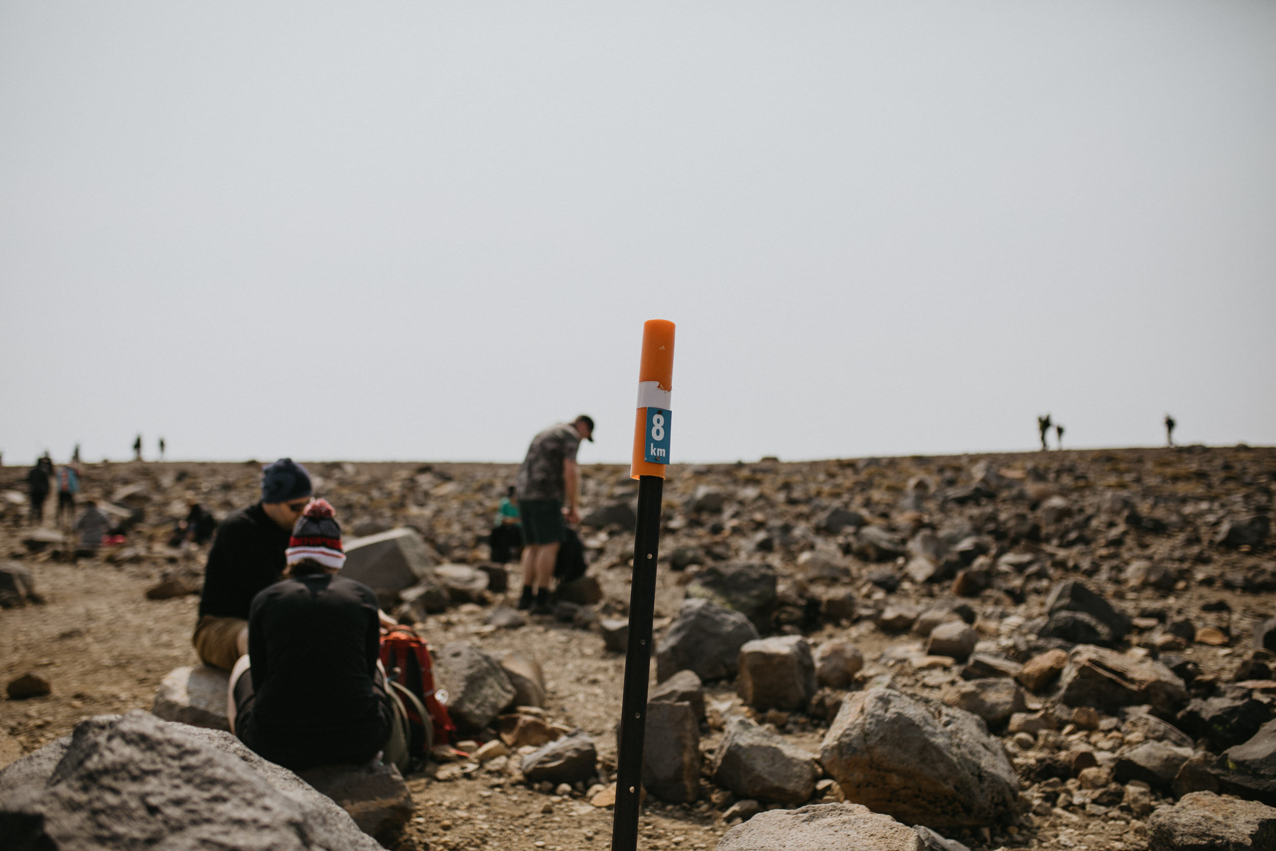
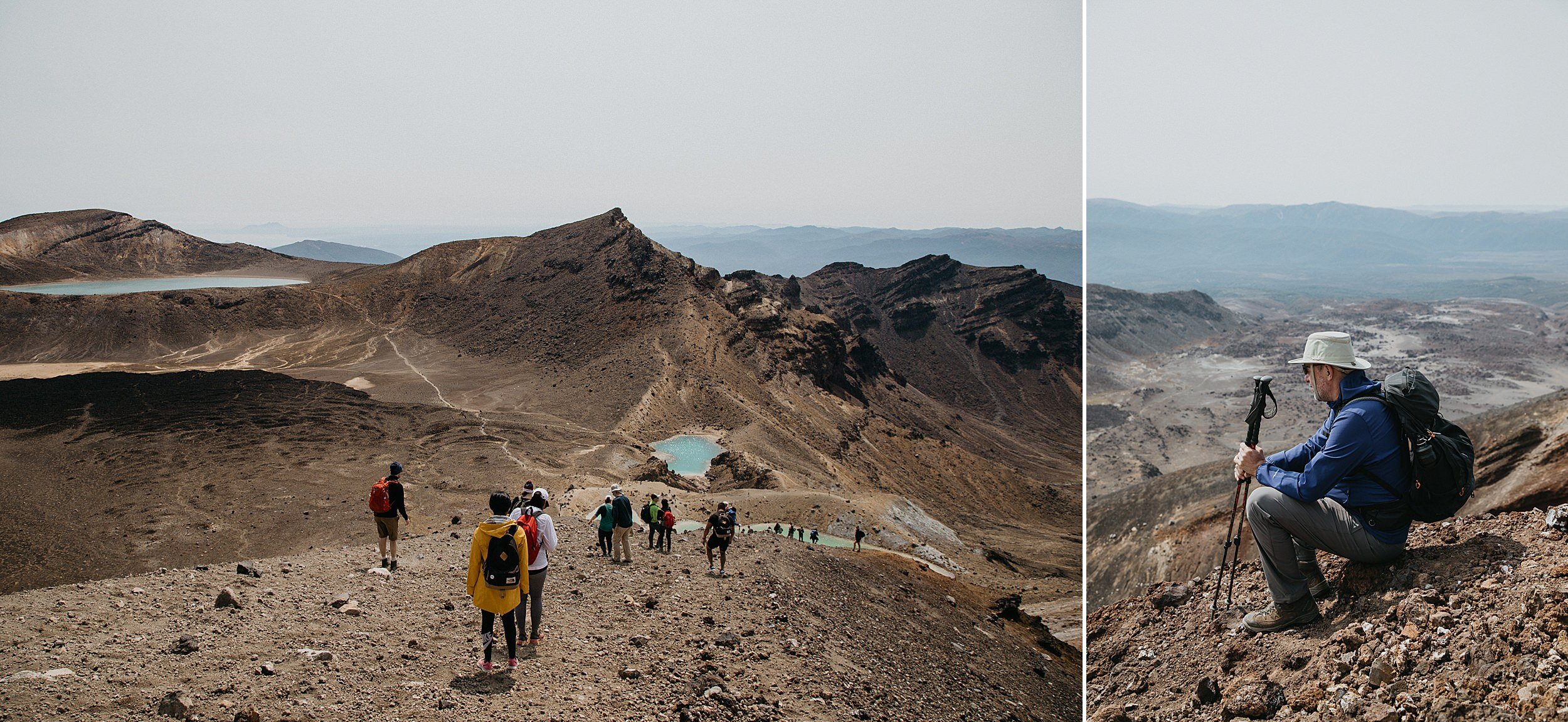
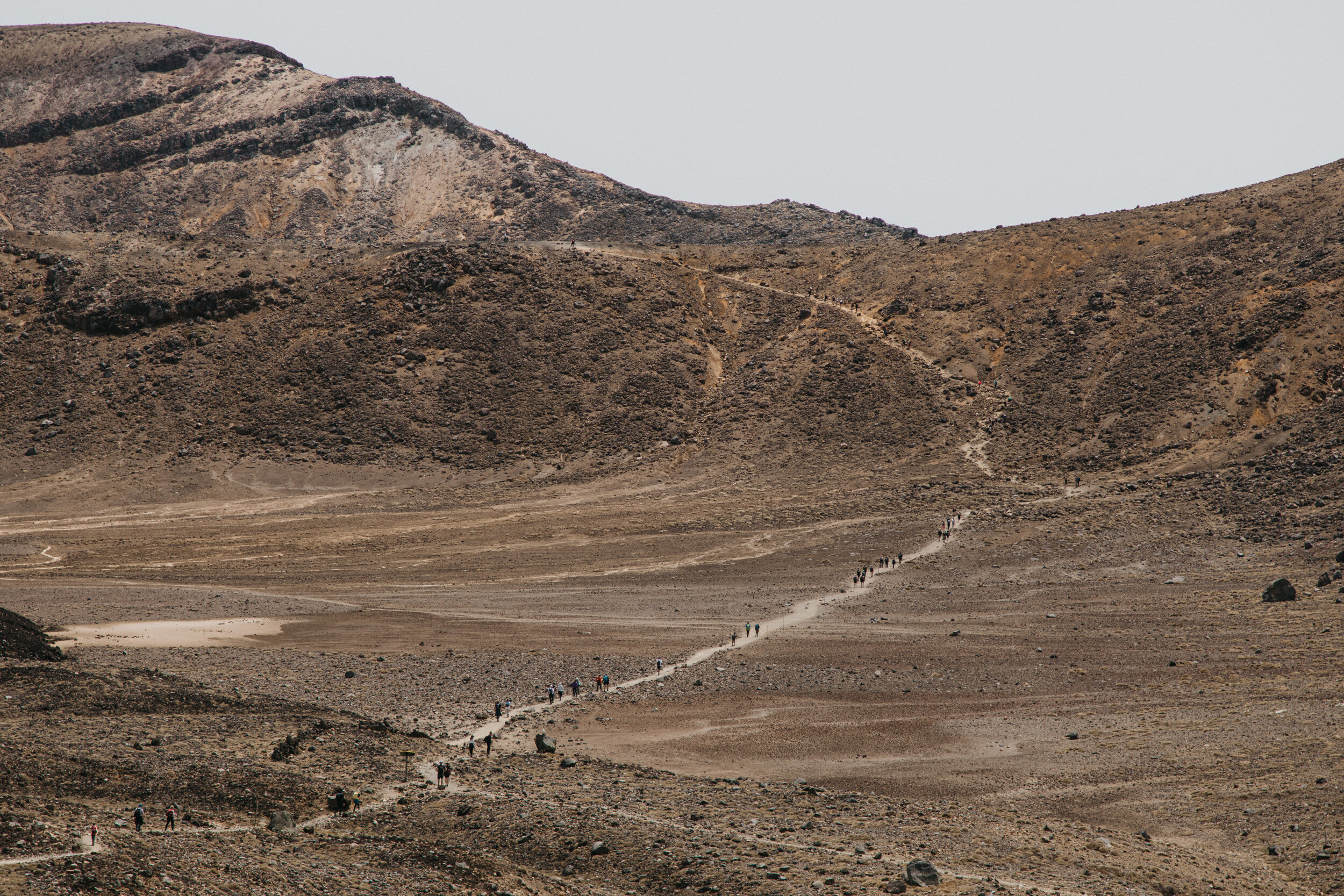
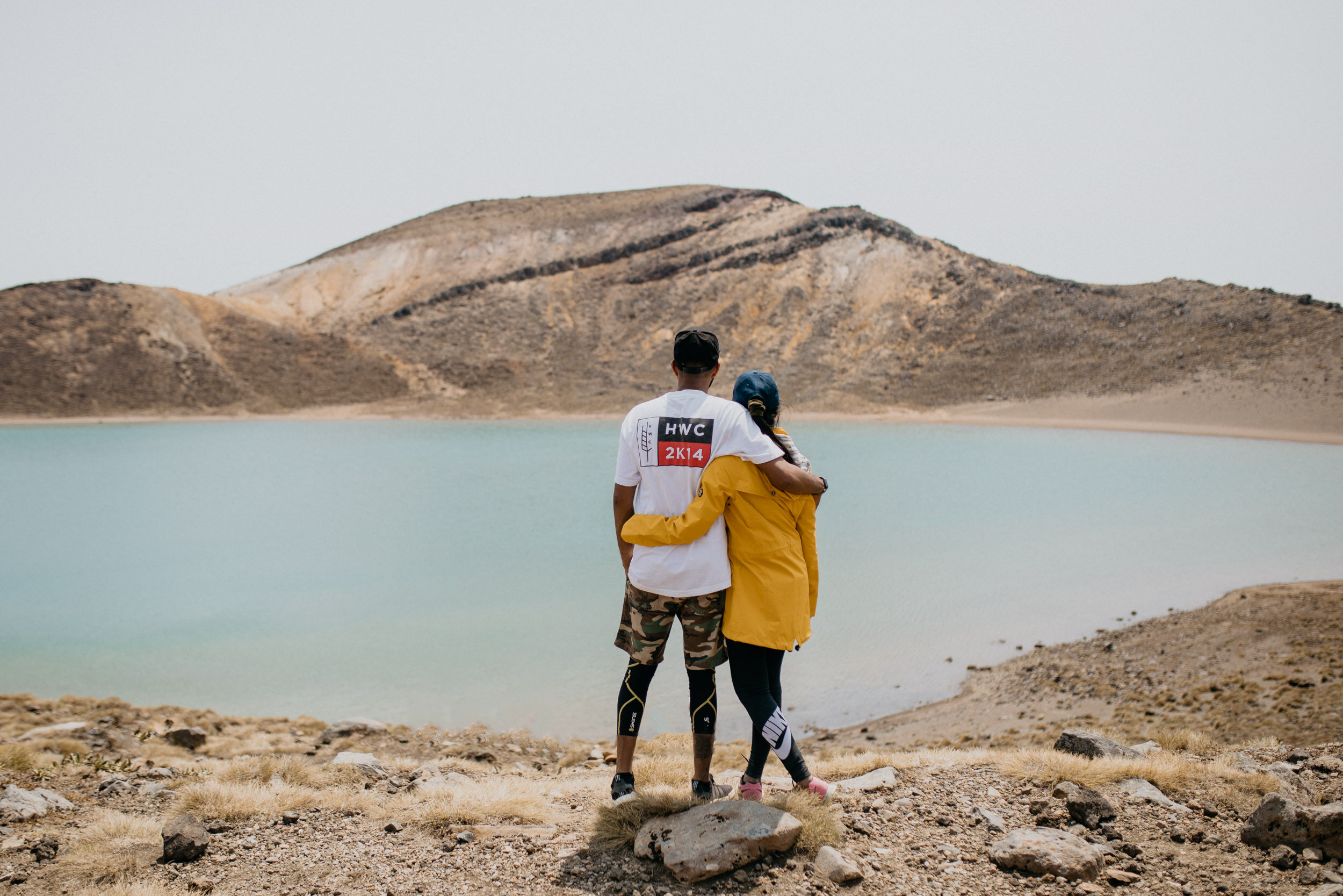
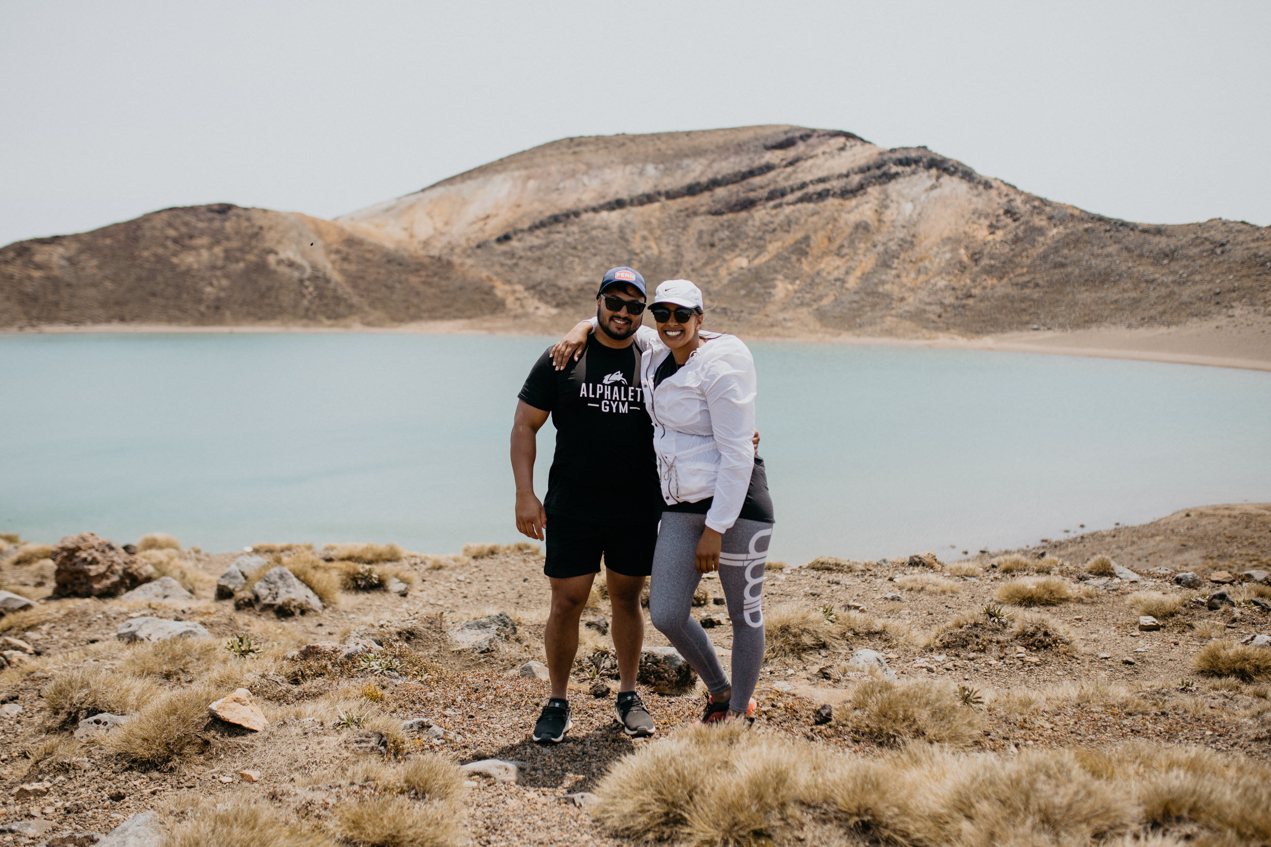
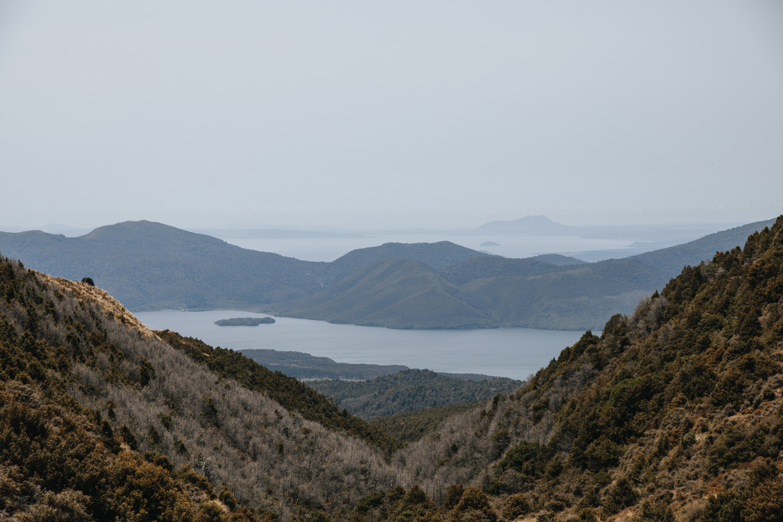
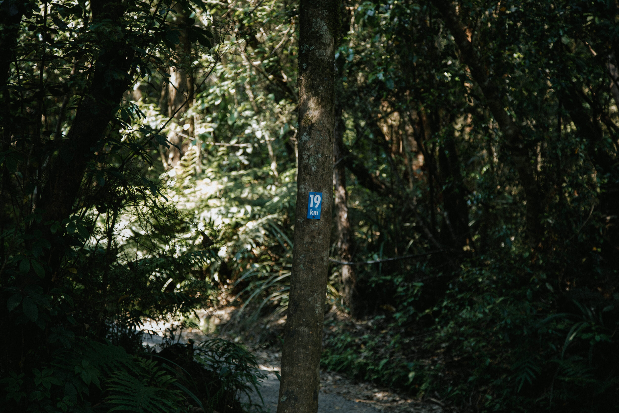
Also the same if you get half way and don’t think you can make it the whole way – or even if the weather does a 360 and turns on you. The crossing is 19.4km and halfway is roughly where the highest point and the amazing crater lakes are.
—
The following extracts are taken from here.
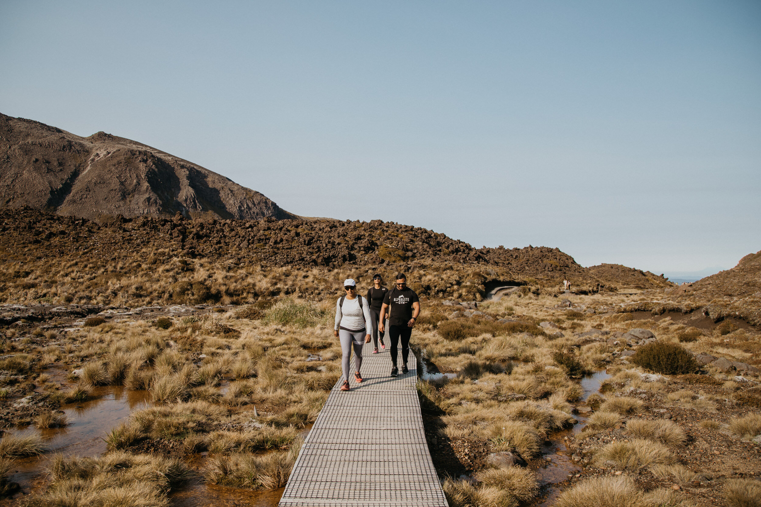
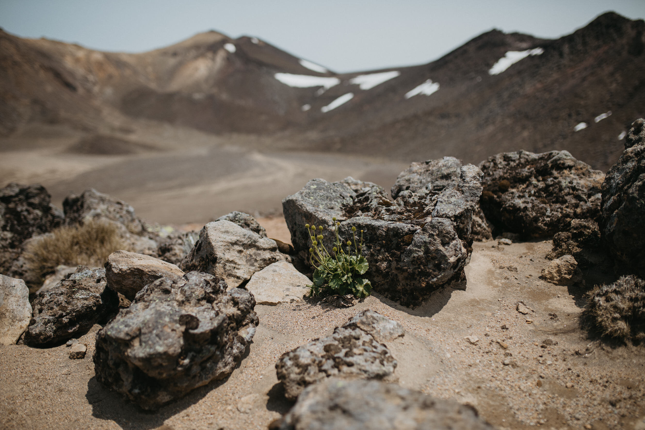
Mangatepopo Road End to Soda Springs
Grade: Easy - Allow 1 - 1.5 Hours
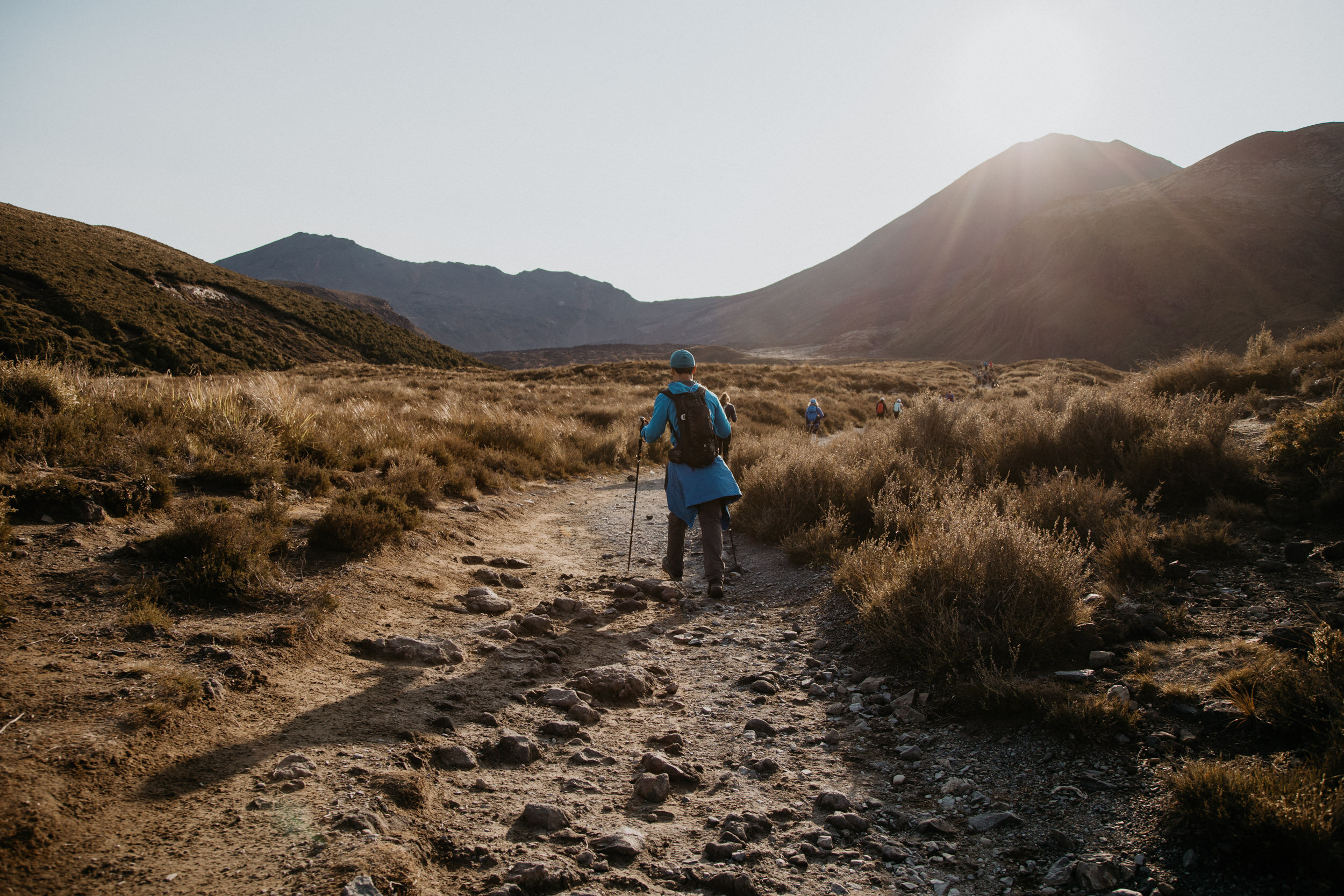
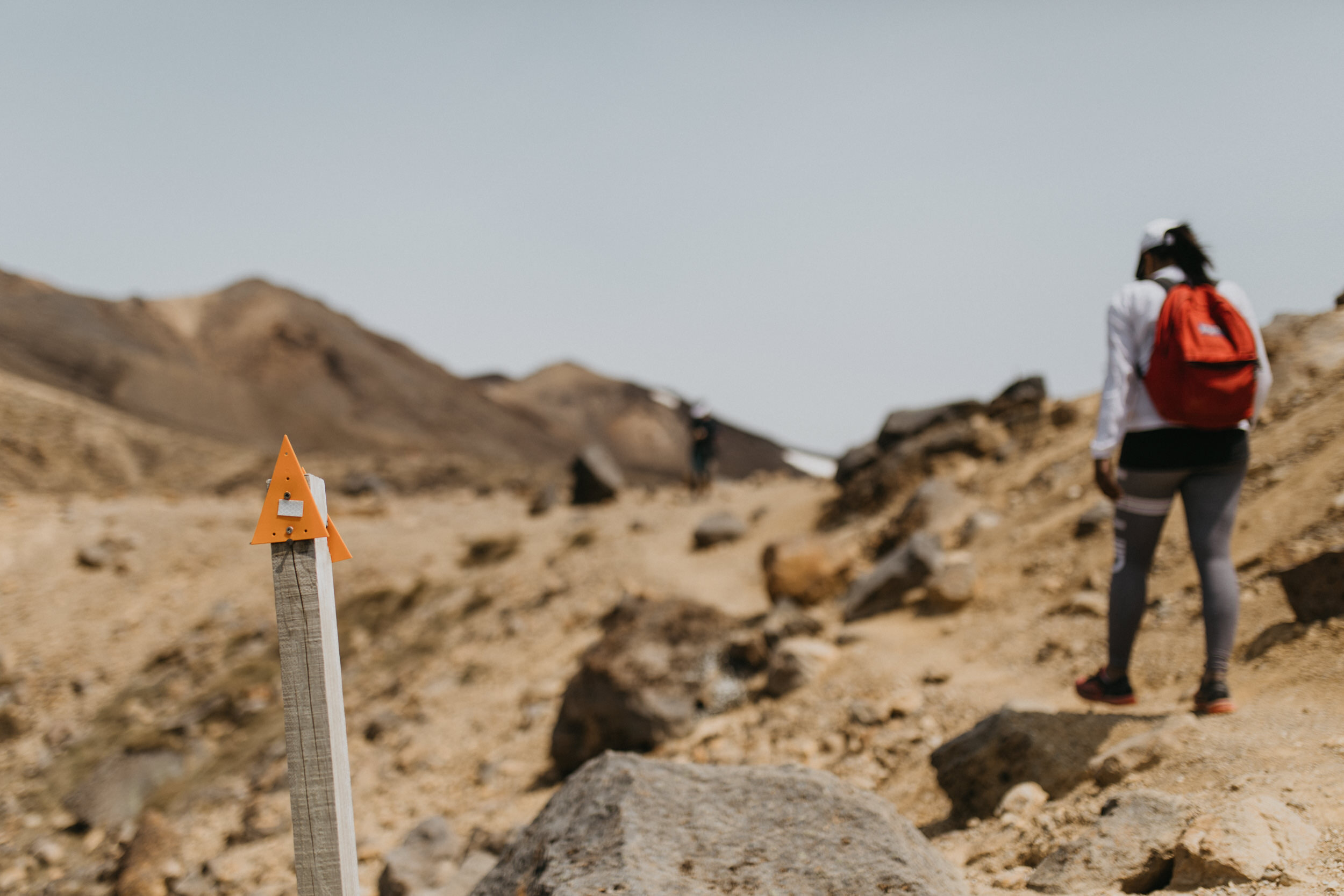
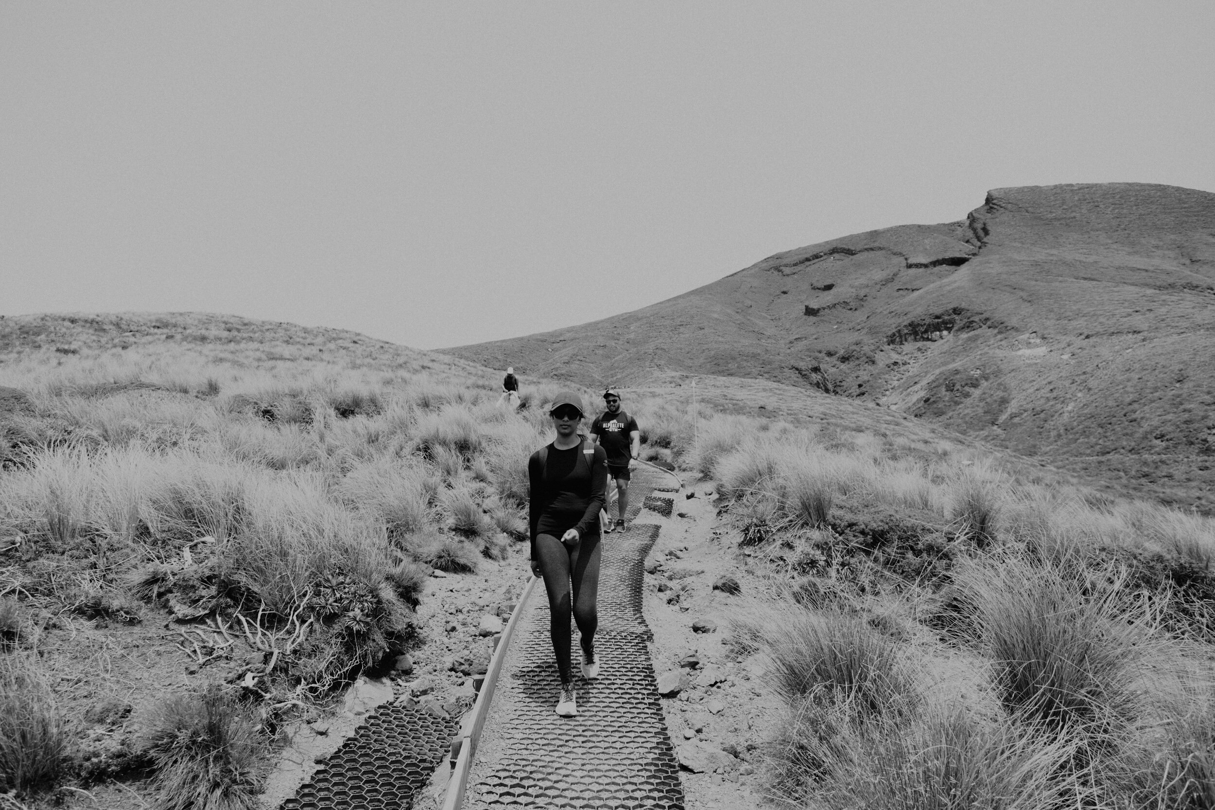
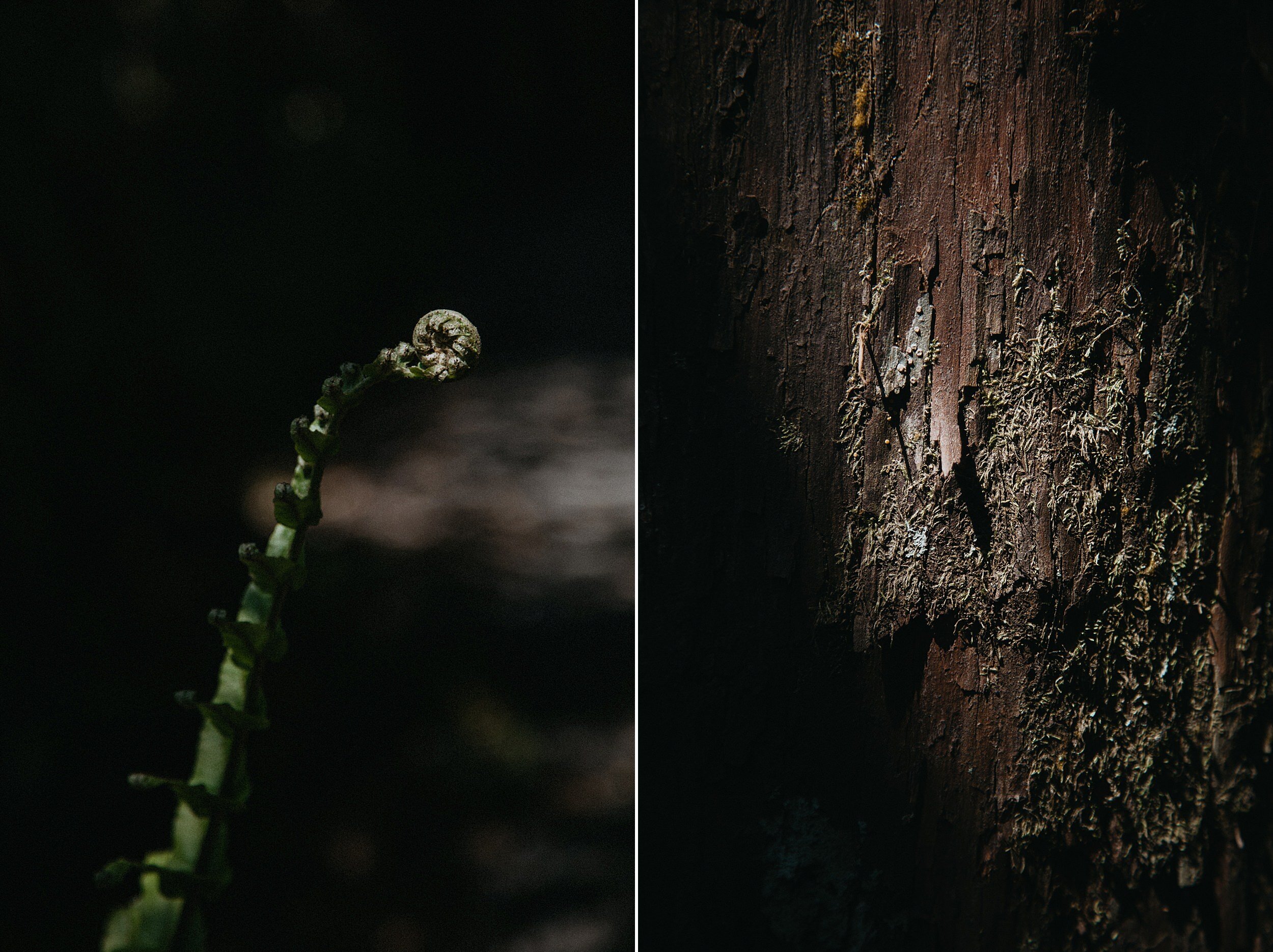
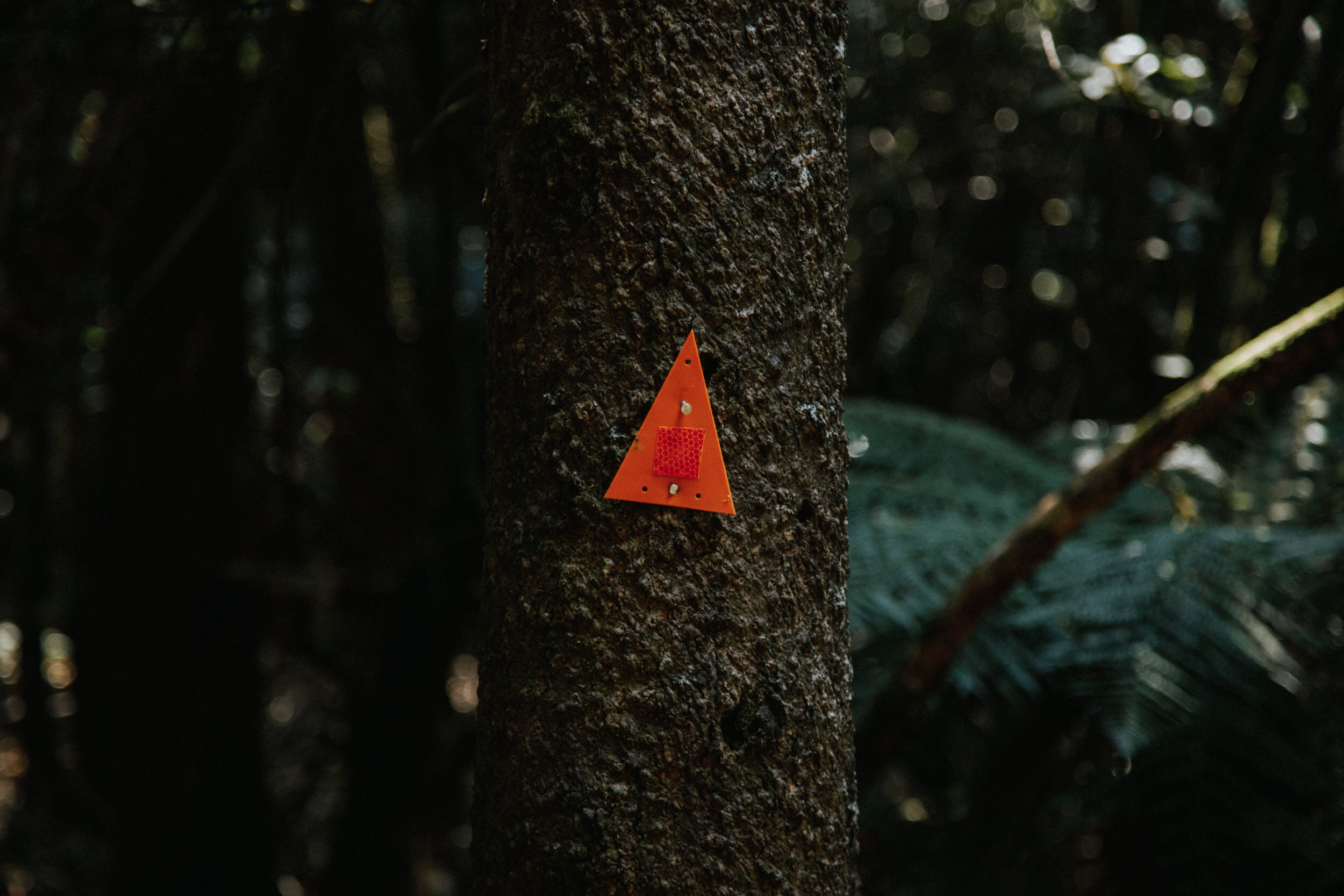
Your transport will drop you off at the Mangatepopo Road end. The first section of the track is fairly flat, well formed and board walked in damp areas to provide stability under foot. Marker poles line the track.
About 15 minutes in from the start, the track to Whakapapa branches off to the right. A further five minutes on from this junction, another sidetrack leads left towards the Mangatepopo Hut and public toilet facilities.
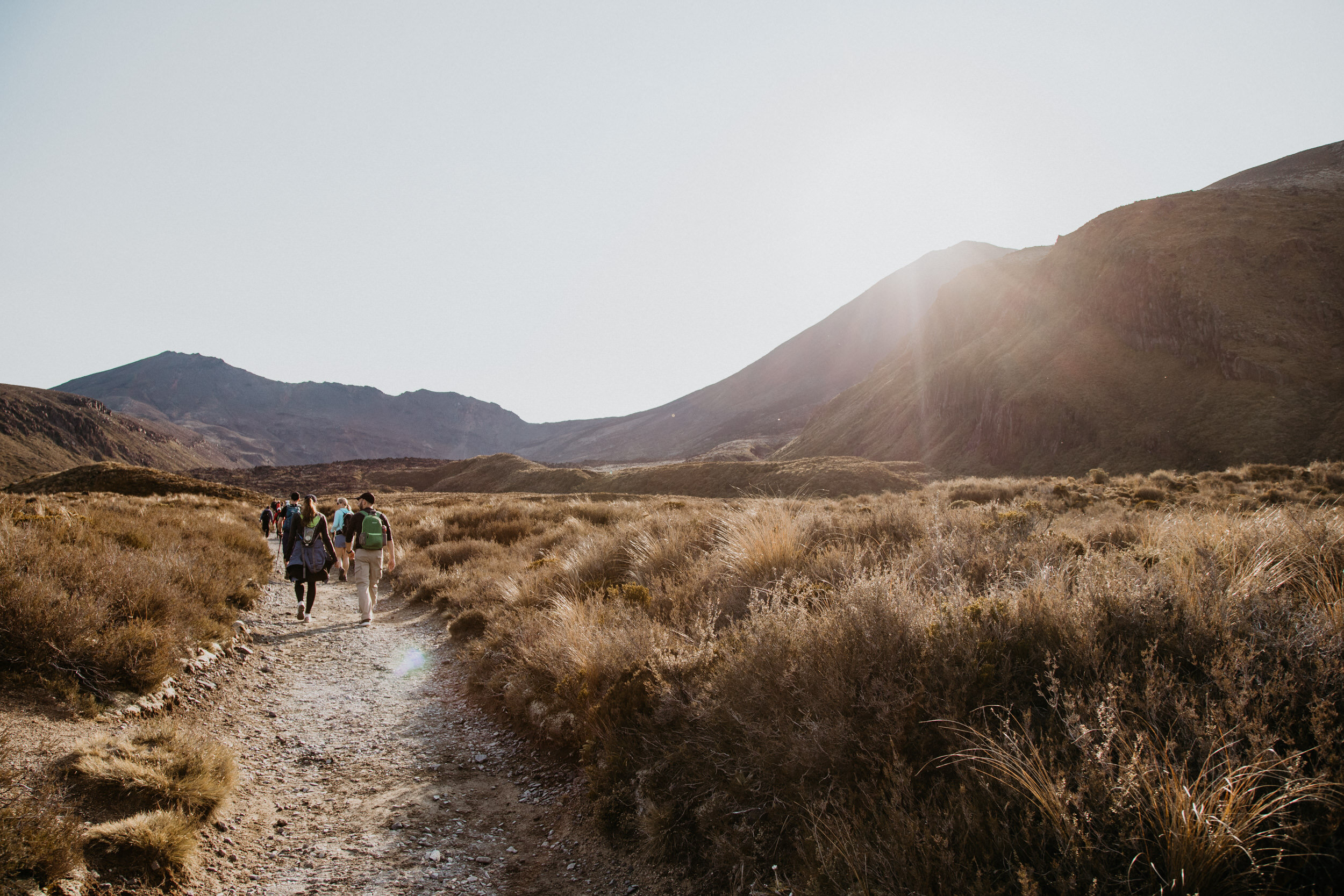
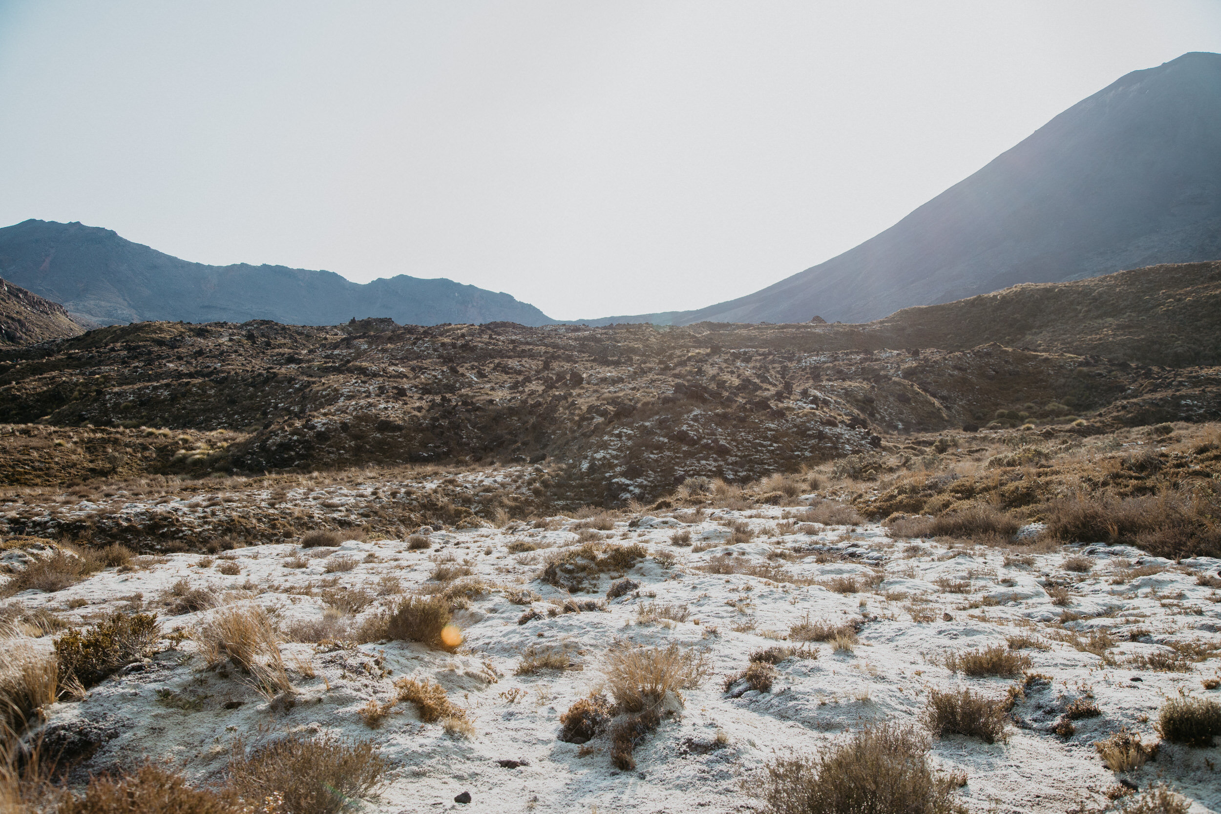
The main track however, continues up the valley, following the Mangatepopo Stream and around the edge of an old lava flow.
Soda Springs to South Crater
Grade: Moderate - Difficult, Allow 40 Minutes To An Hour.
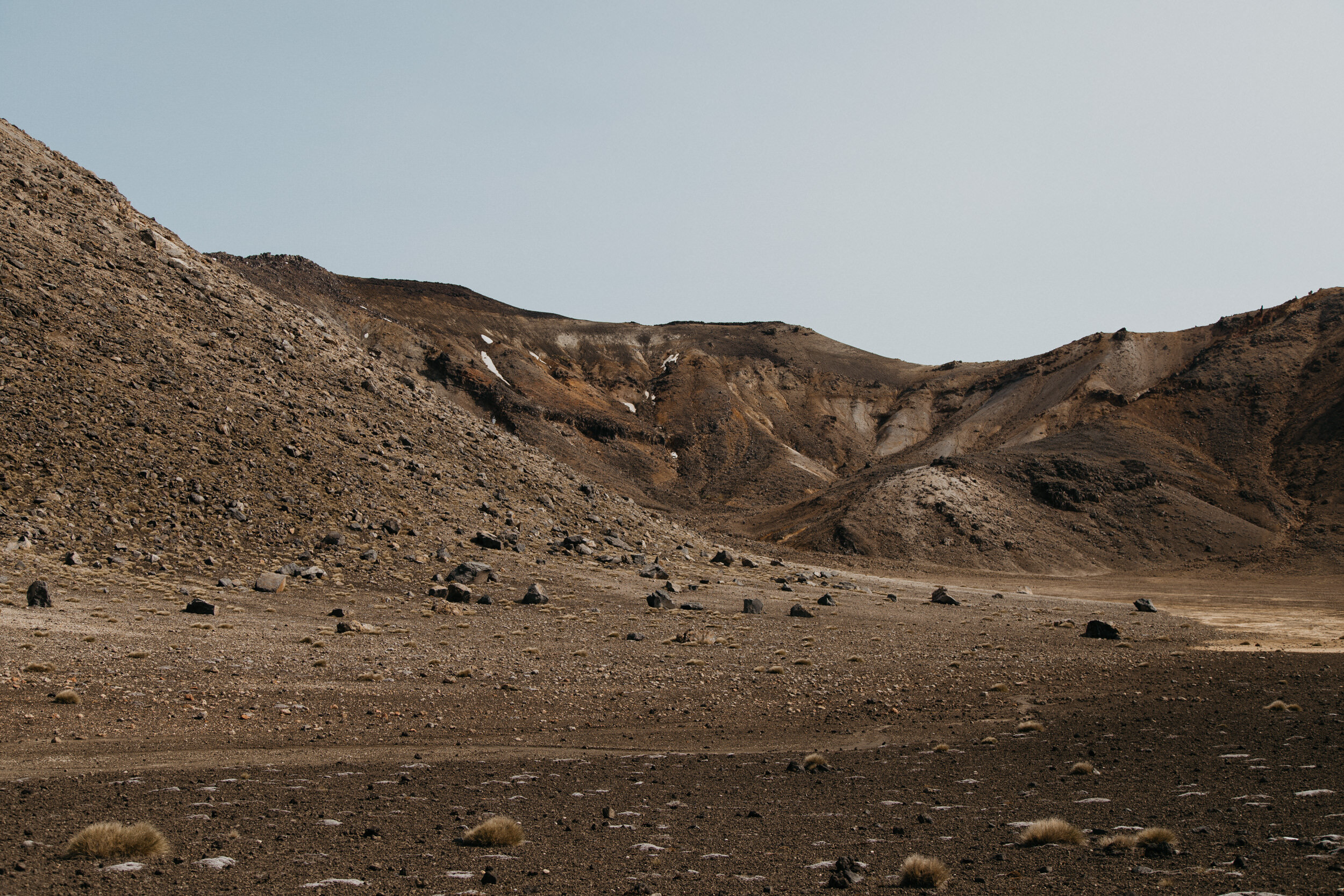
This section of the track, known as the Devil's Staircase, is steep - climbing from 1400 to 1600 metres above sea level.
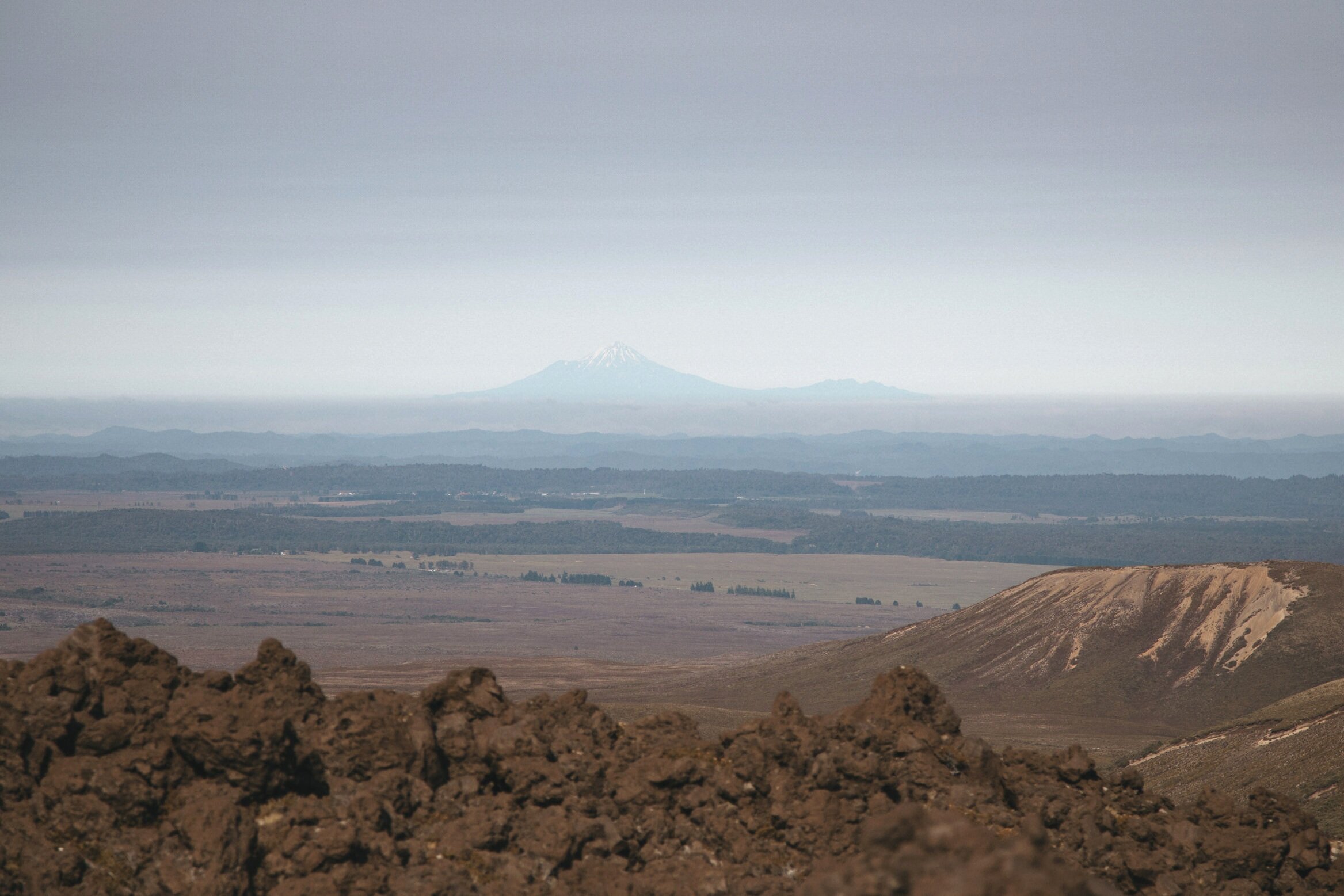
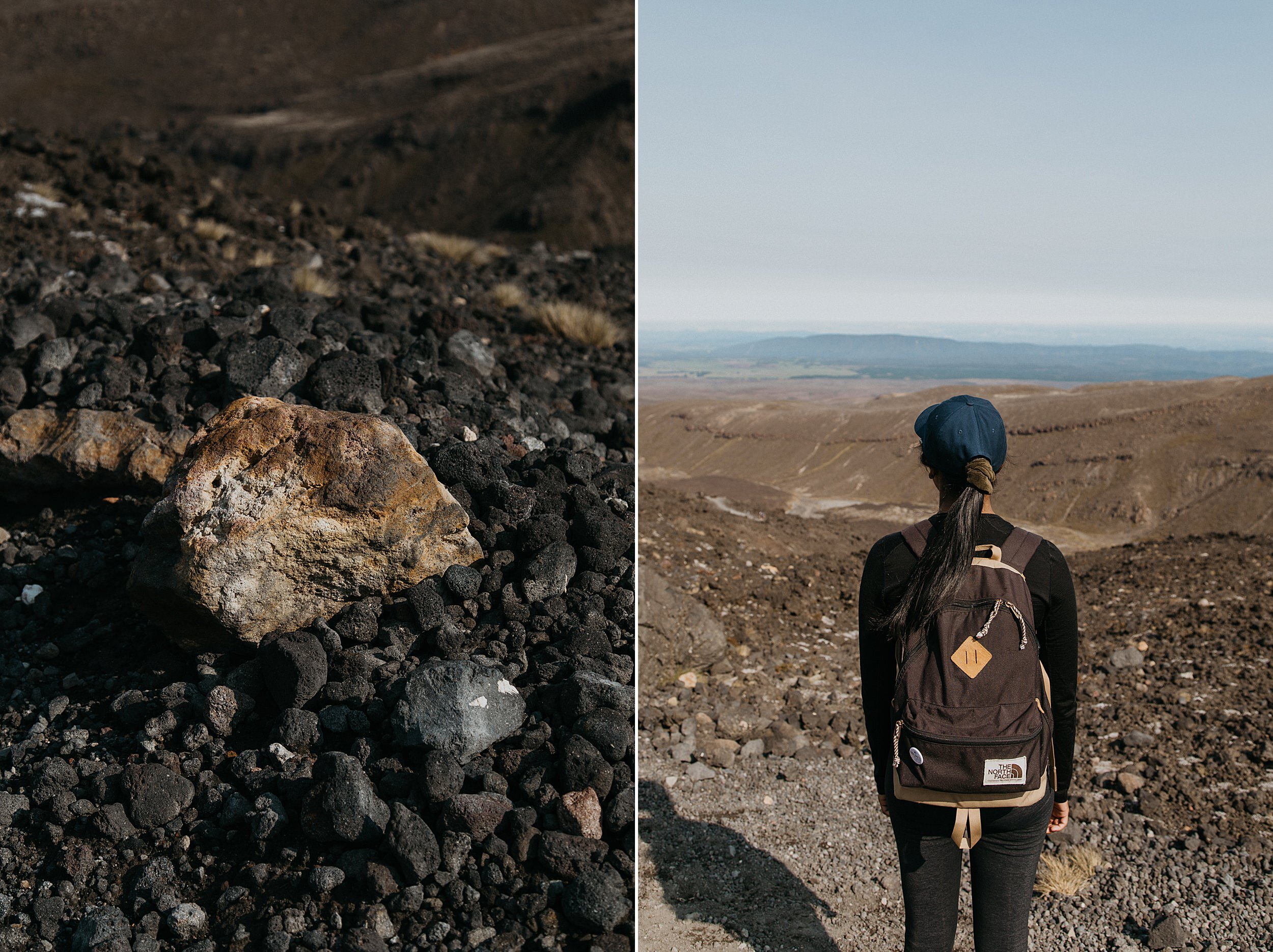
You will need to take your time on this section, but on a clear day the view down the valley and out across the surrounding countryside is well worth it. Out towards the west you may catch a glimpse of the perfectly formed volcanic cone of Mount Taranaki.
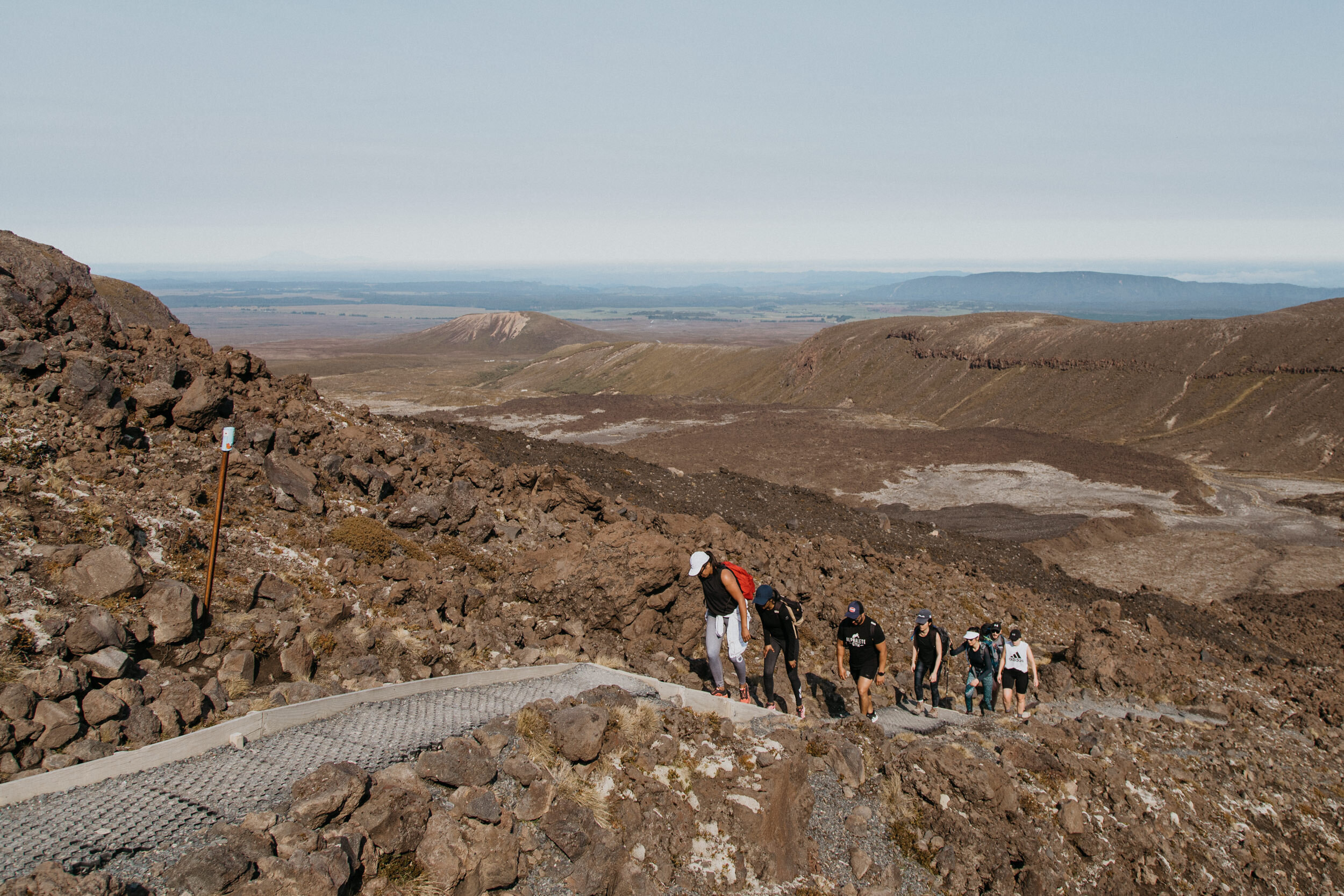
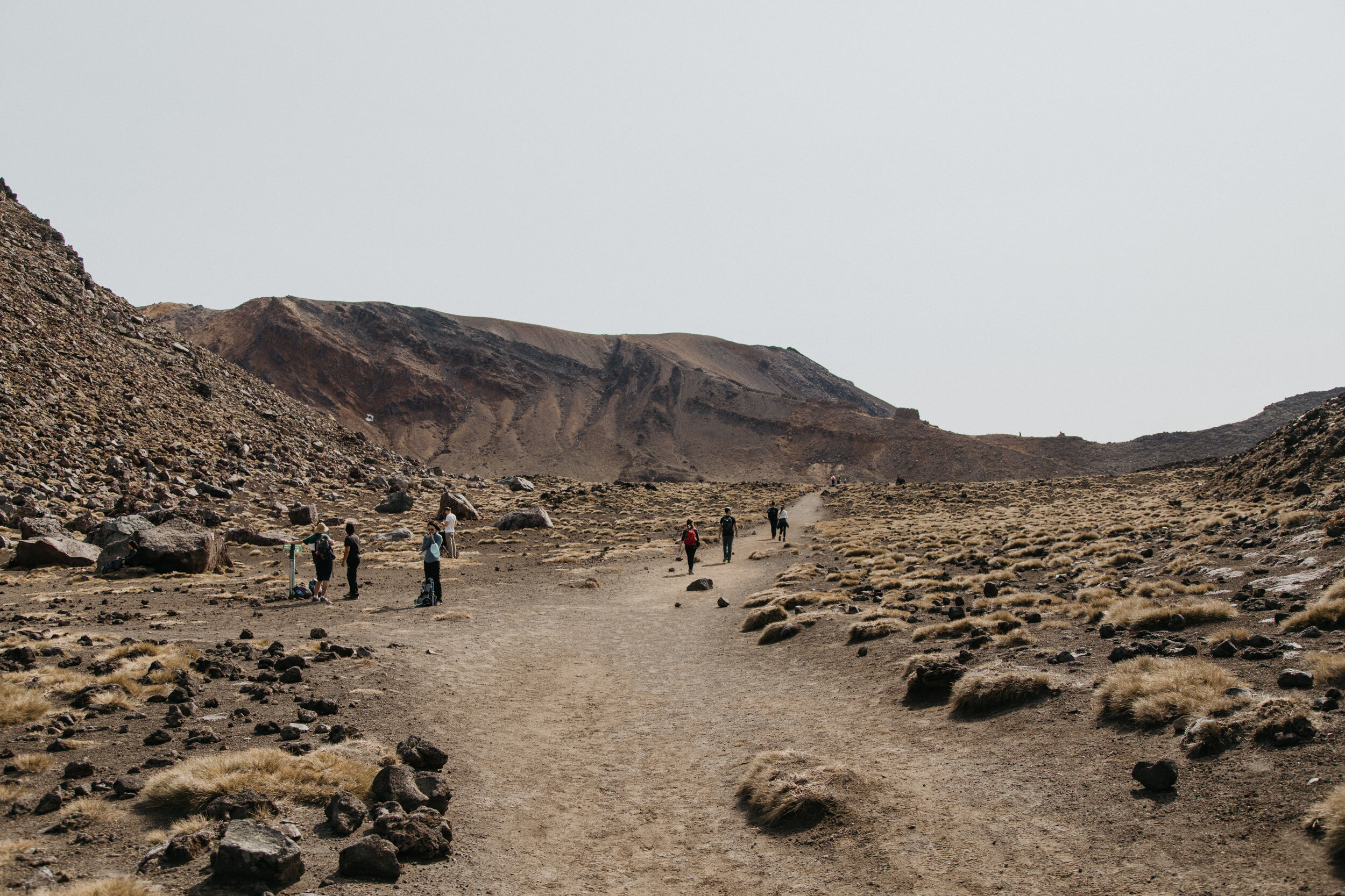
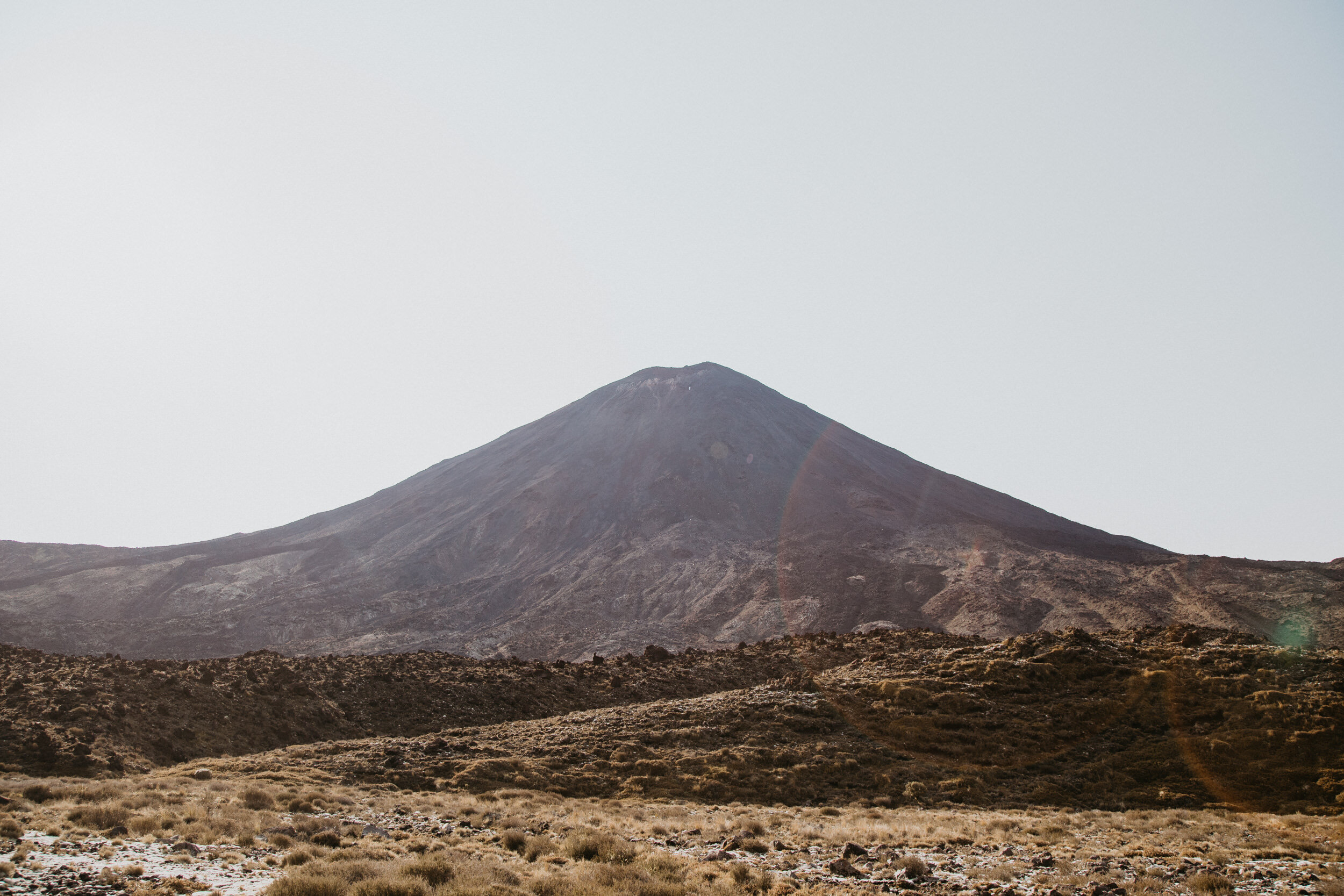
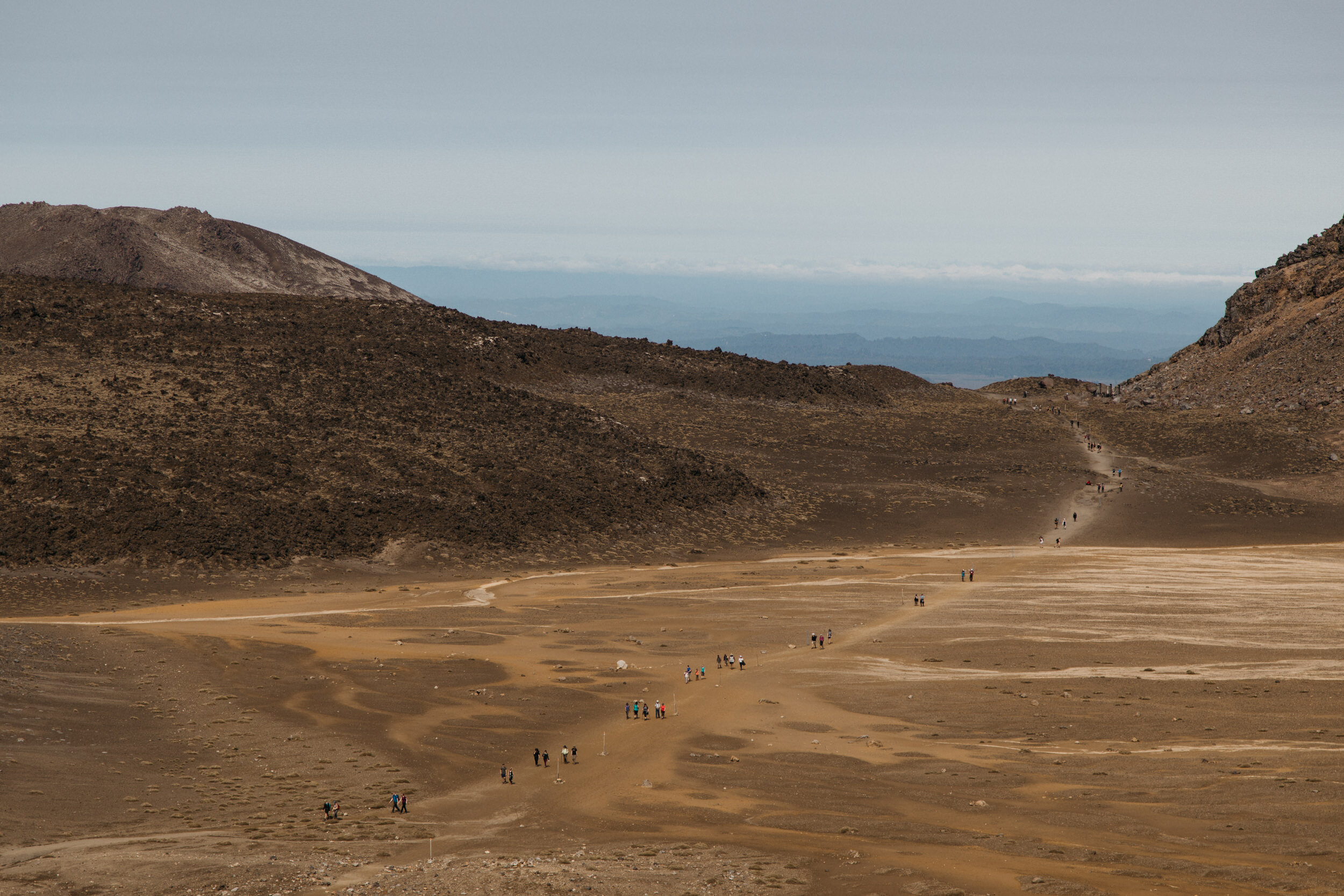
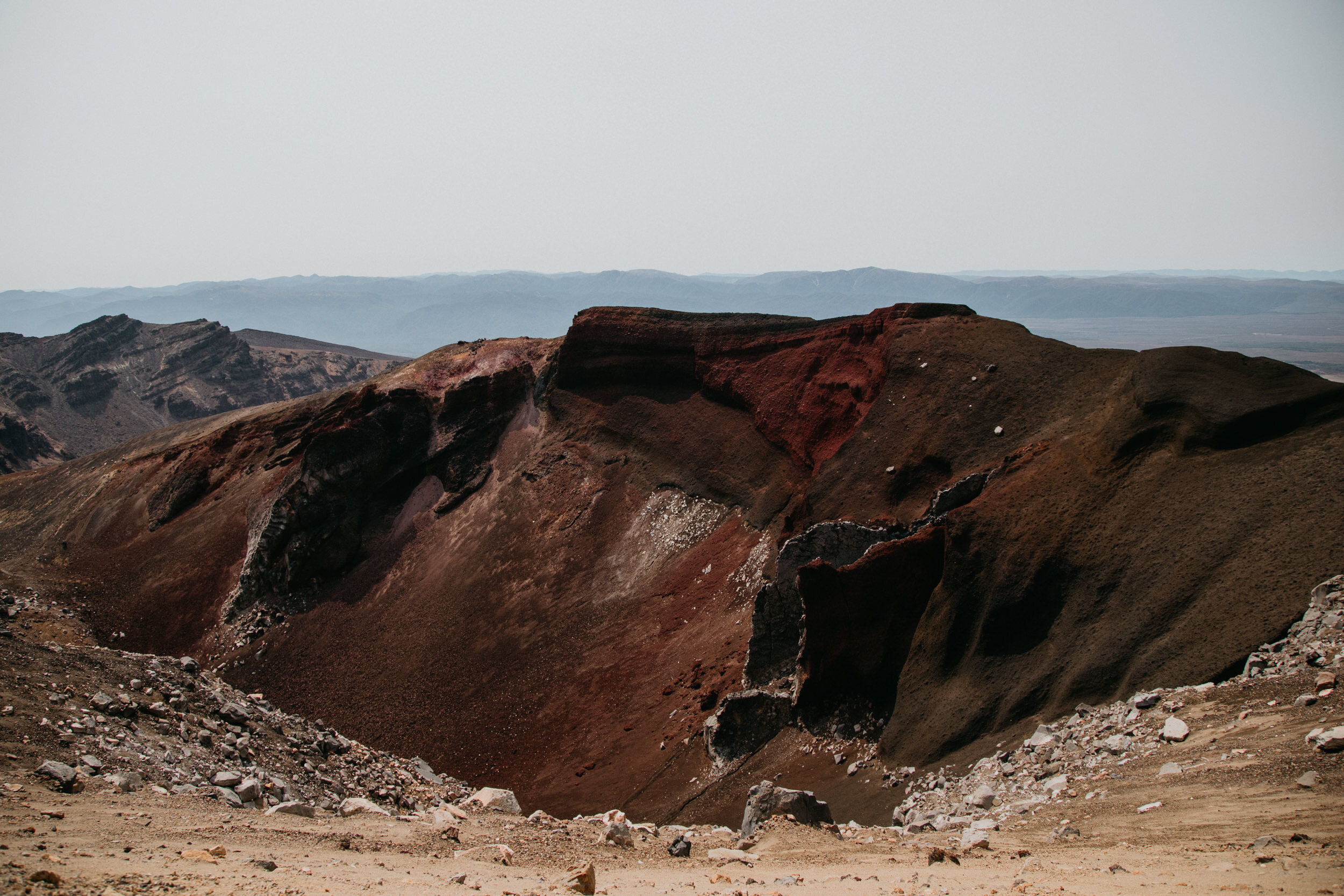
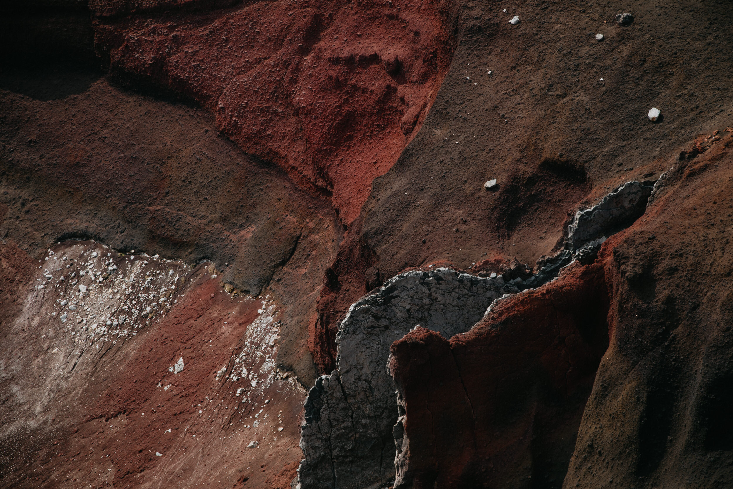
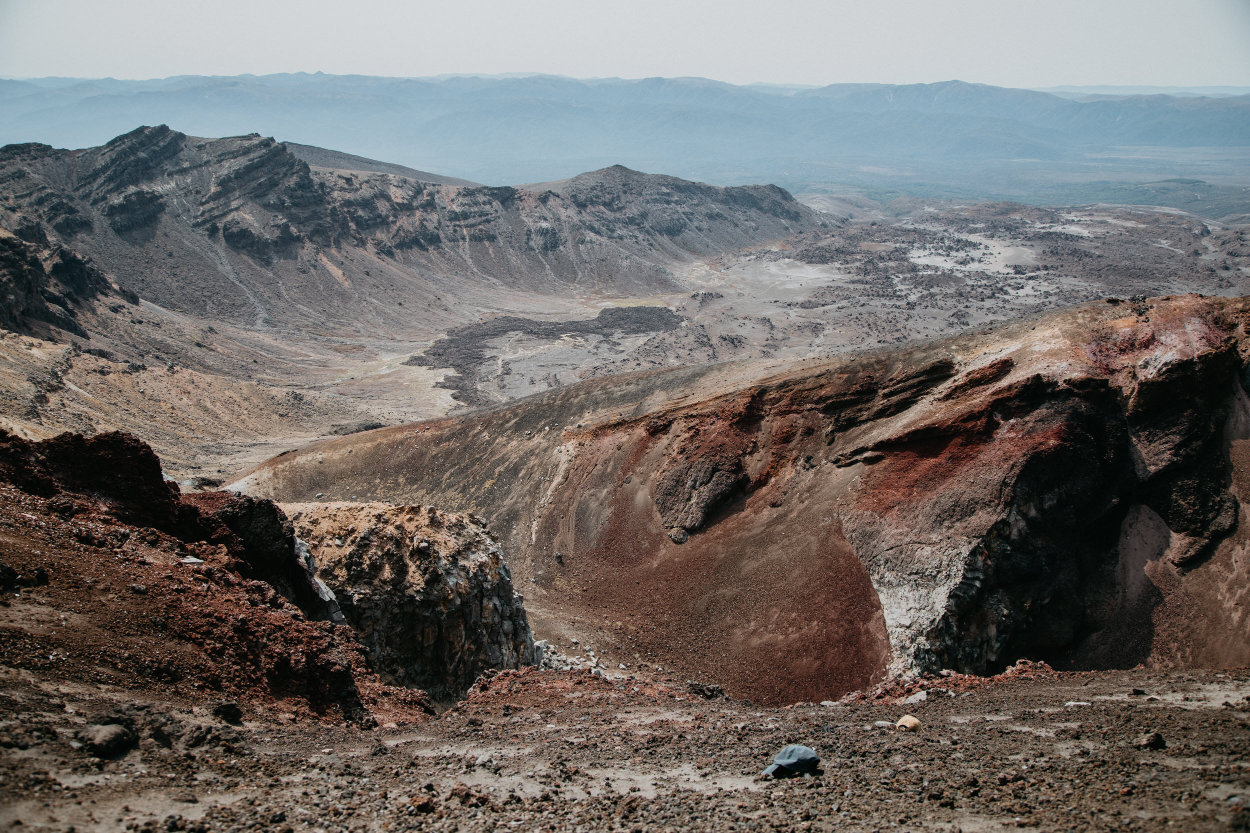
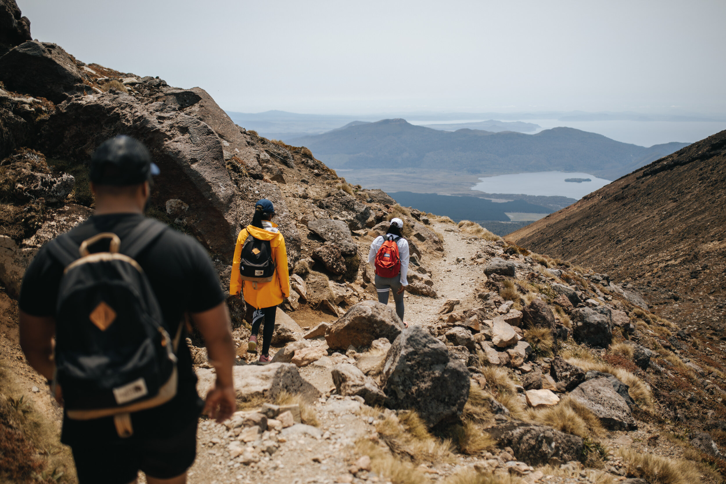
South Crater to Red Crater
Grade: Moderate - Difficult, Allow 1 Hour
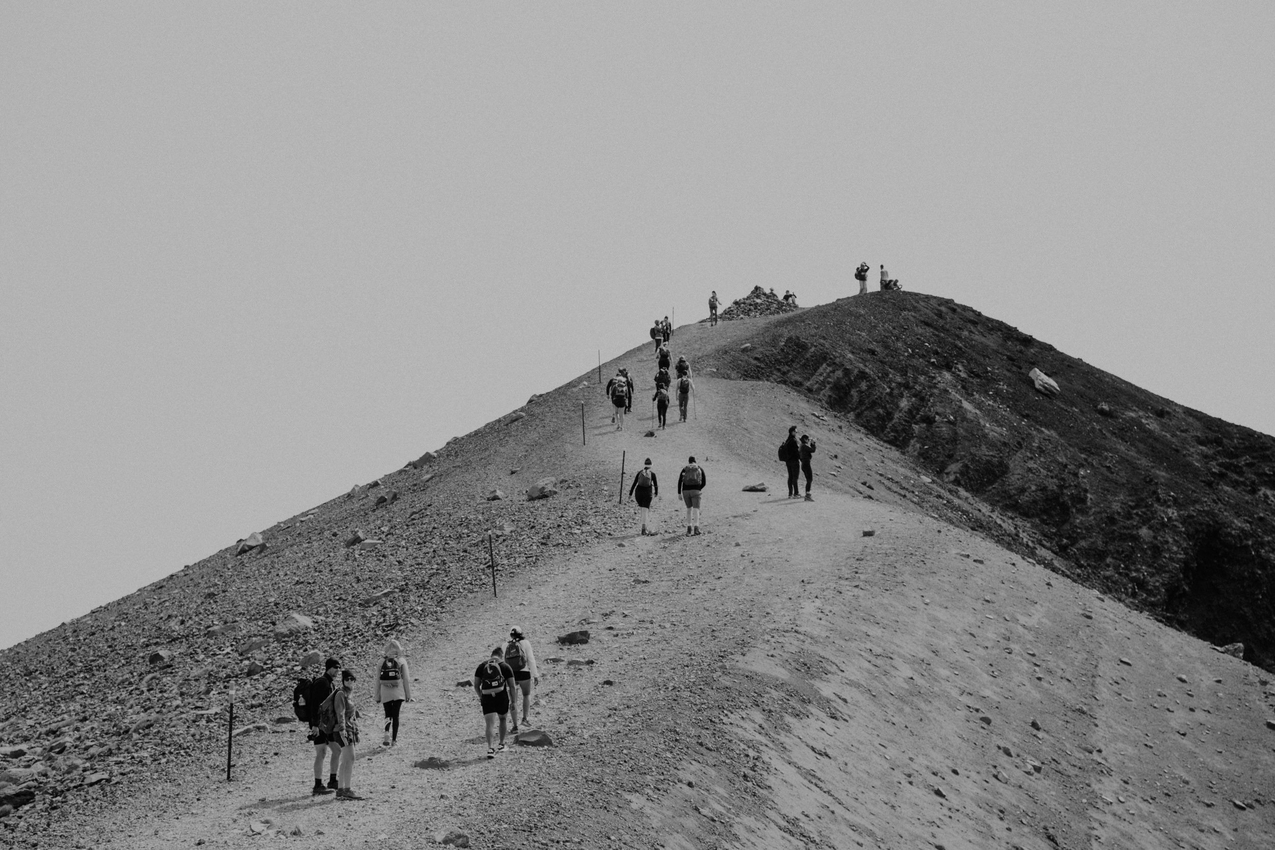
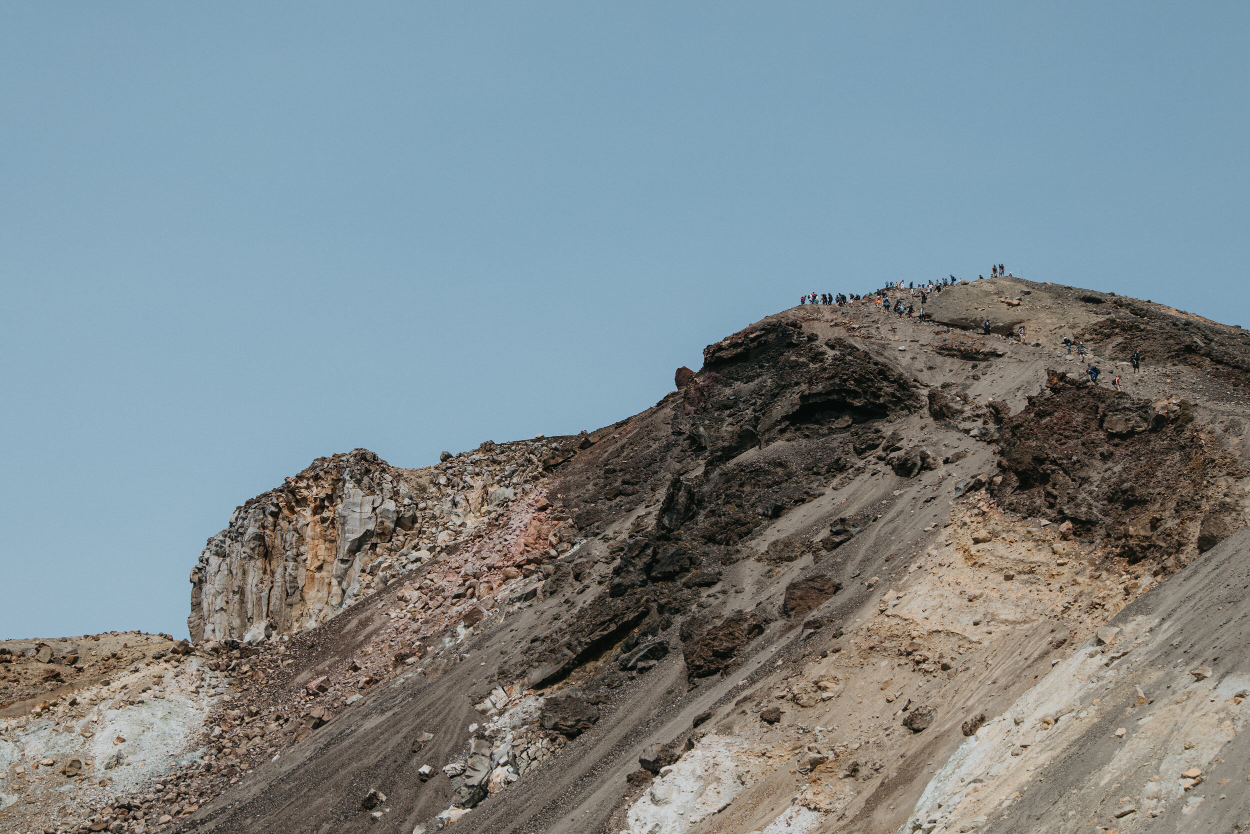
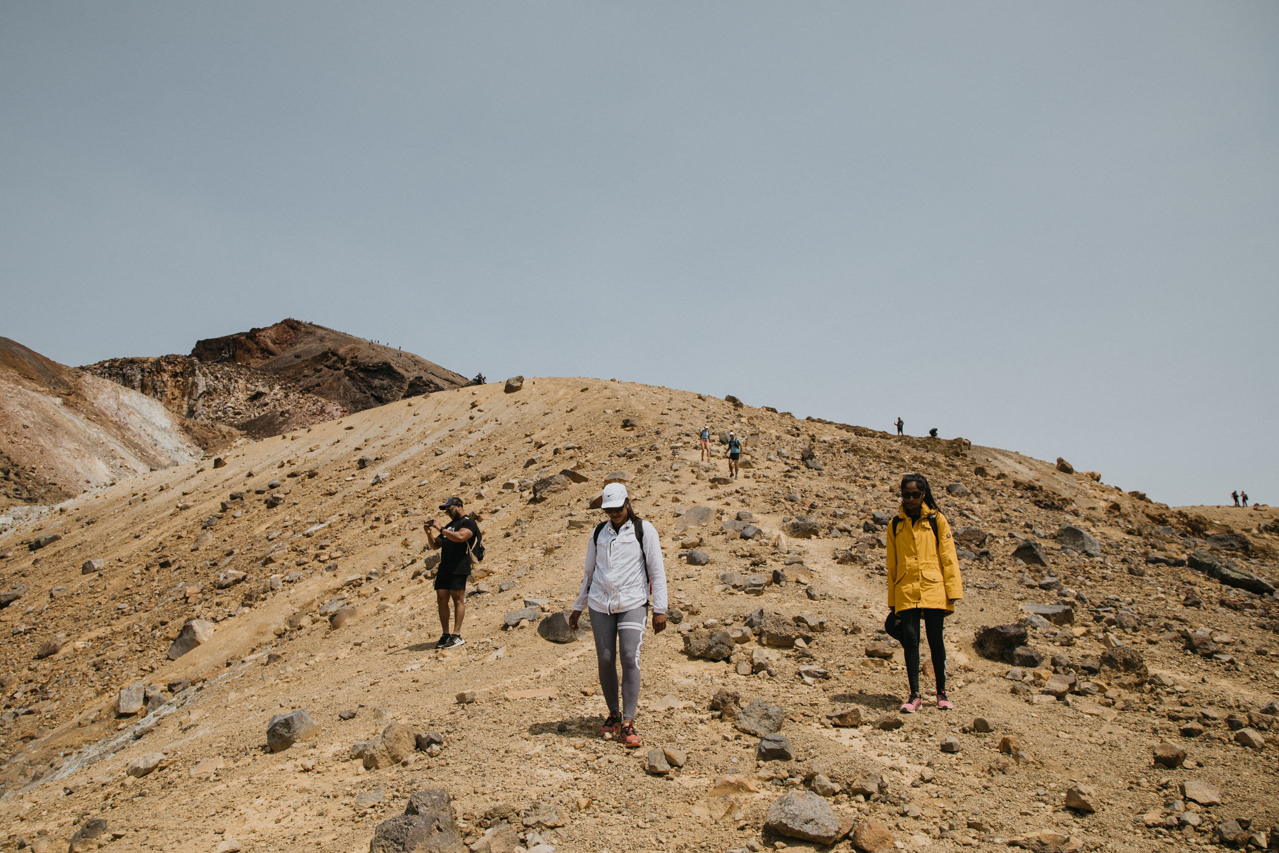
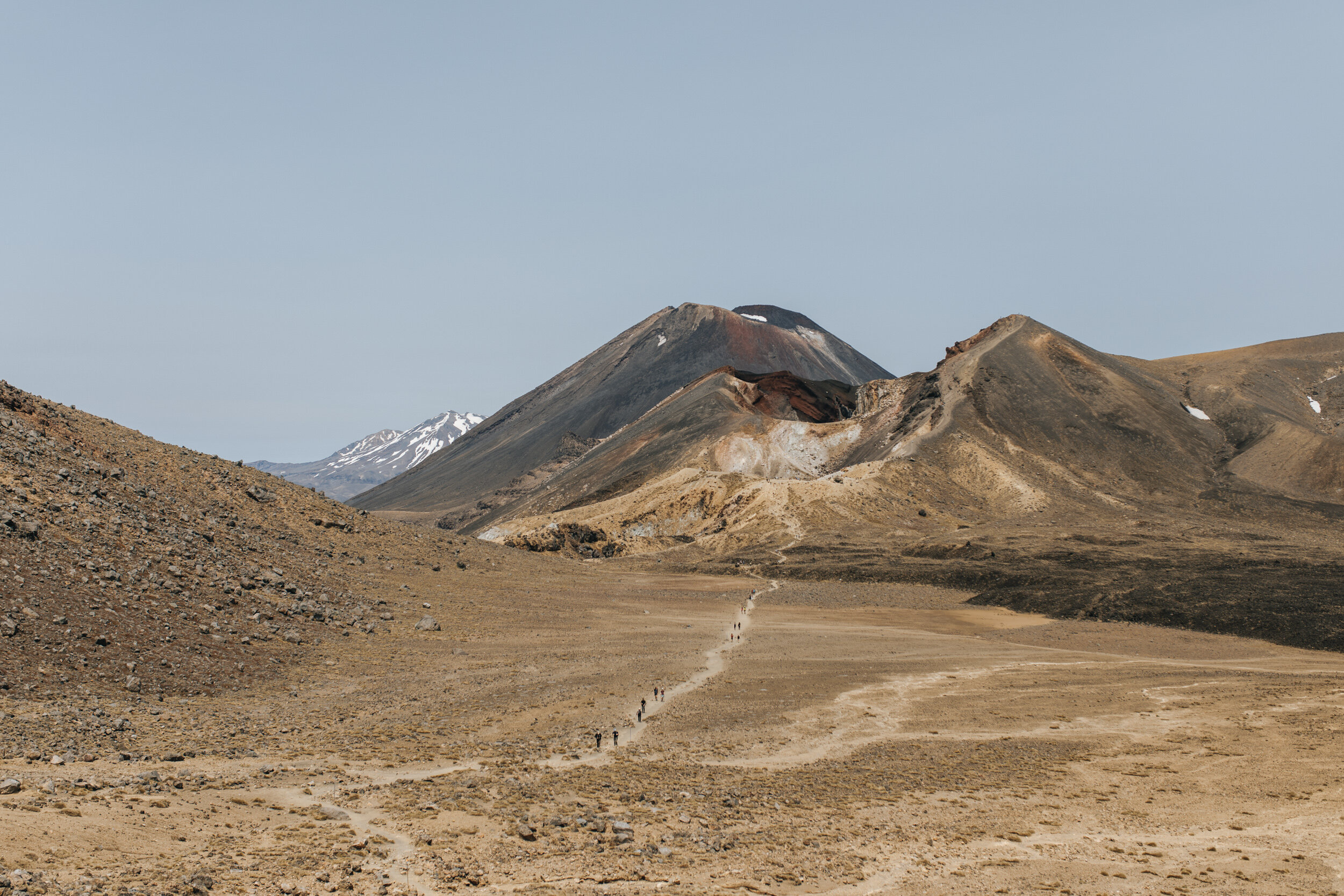
Enjoy the flat, as it won't last forever. Once you have passed South Crater there is another short climb on an exposed ridge, the track follows this ridge to Red Crater.
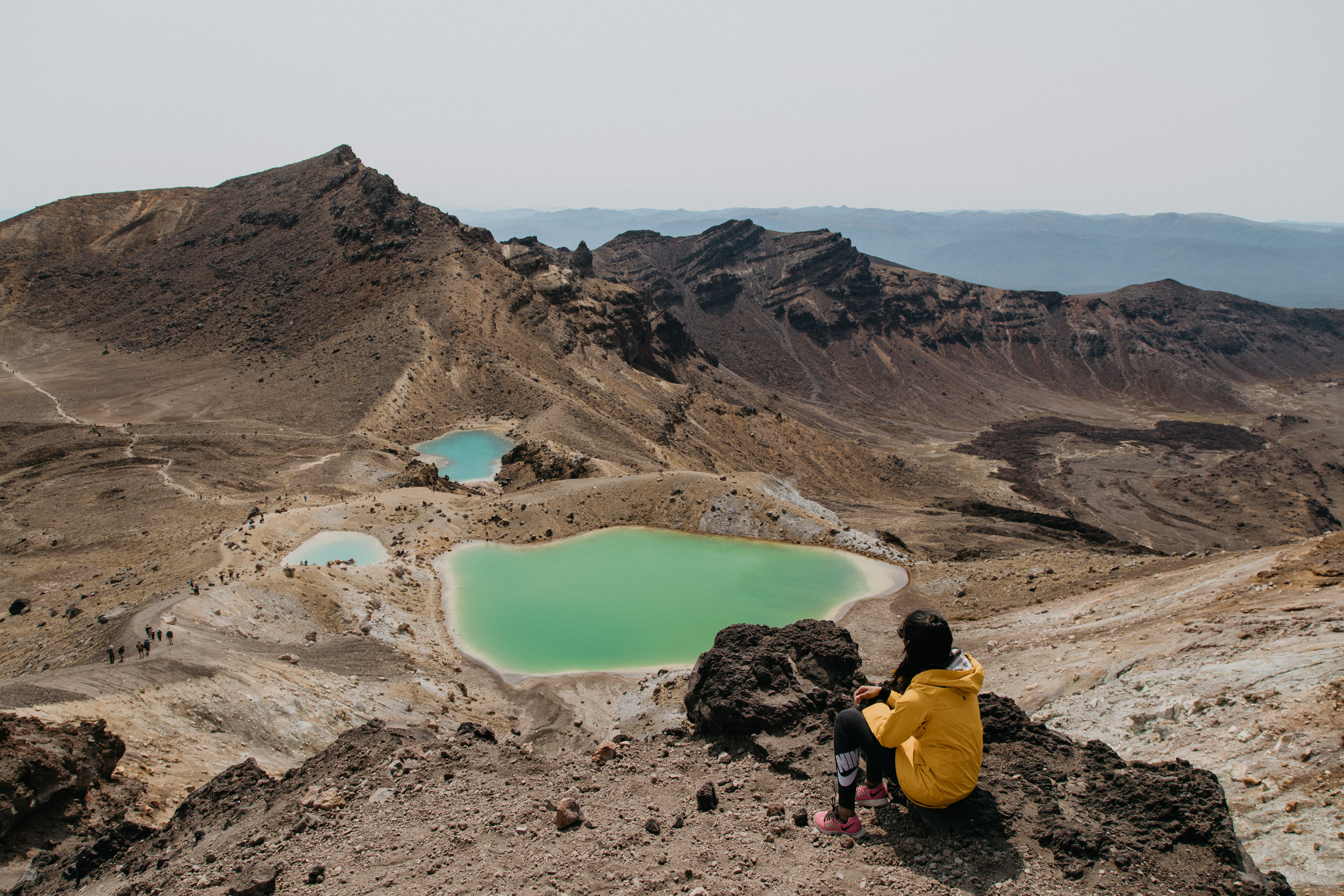
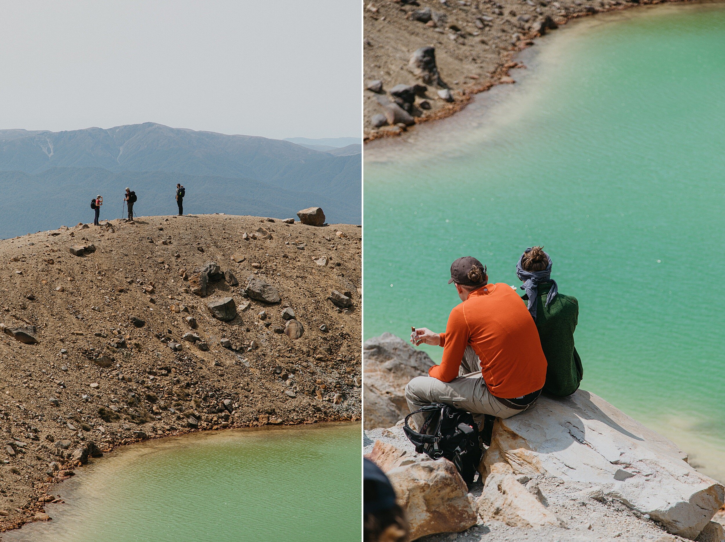
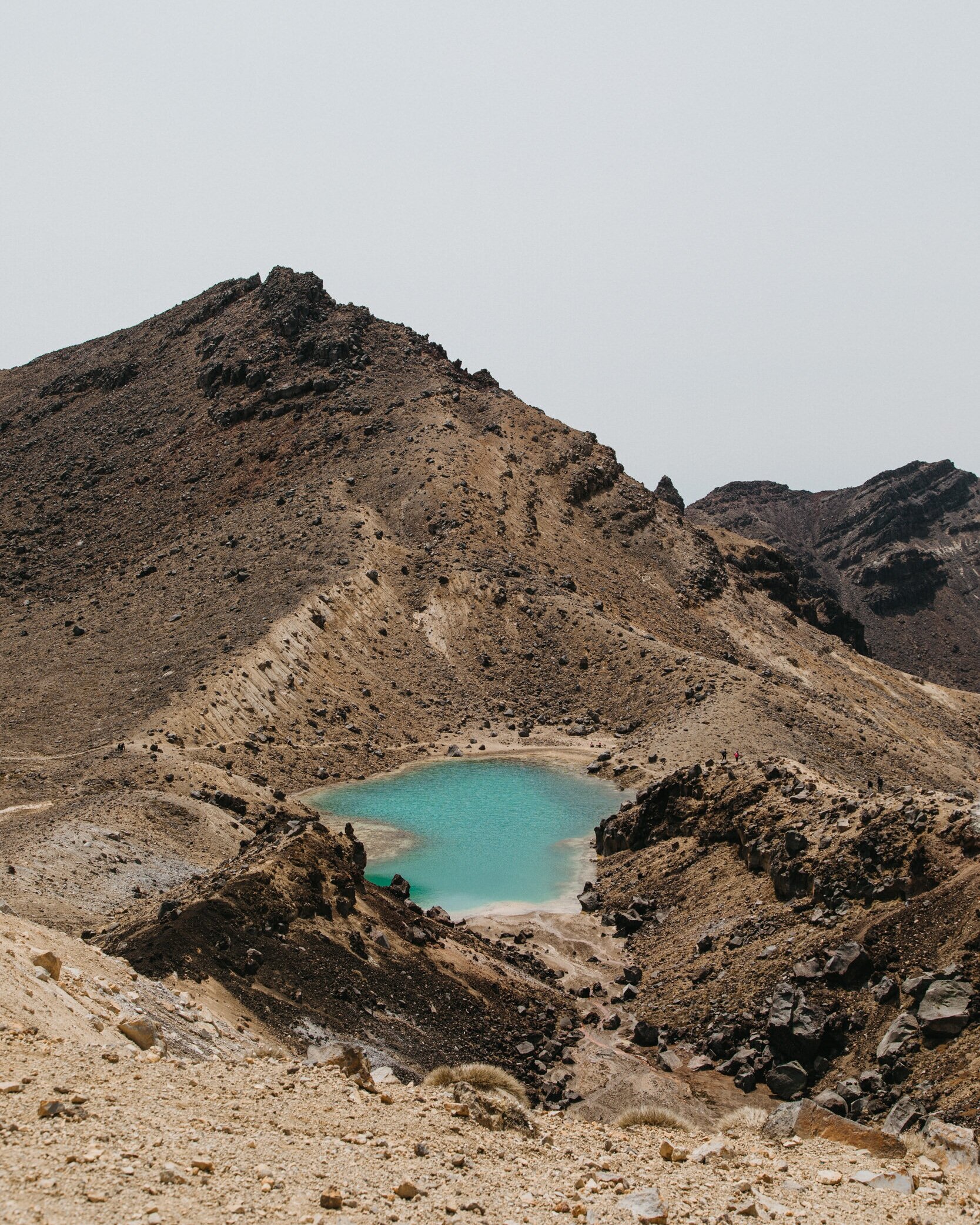
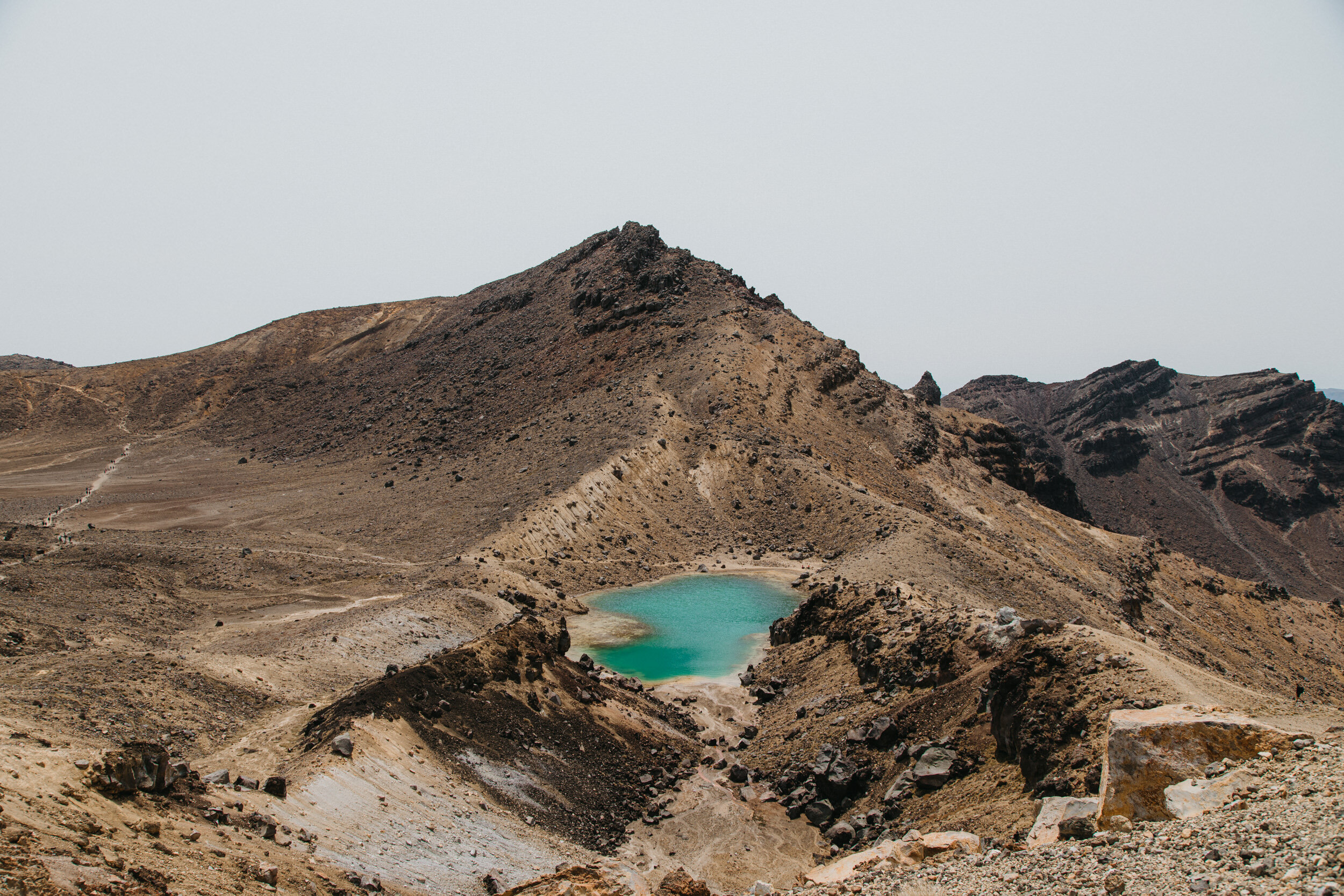
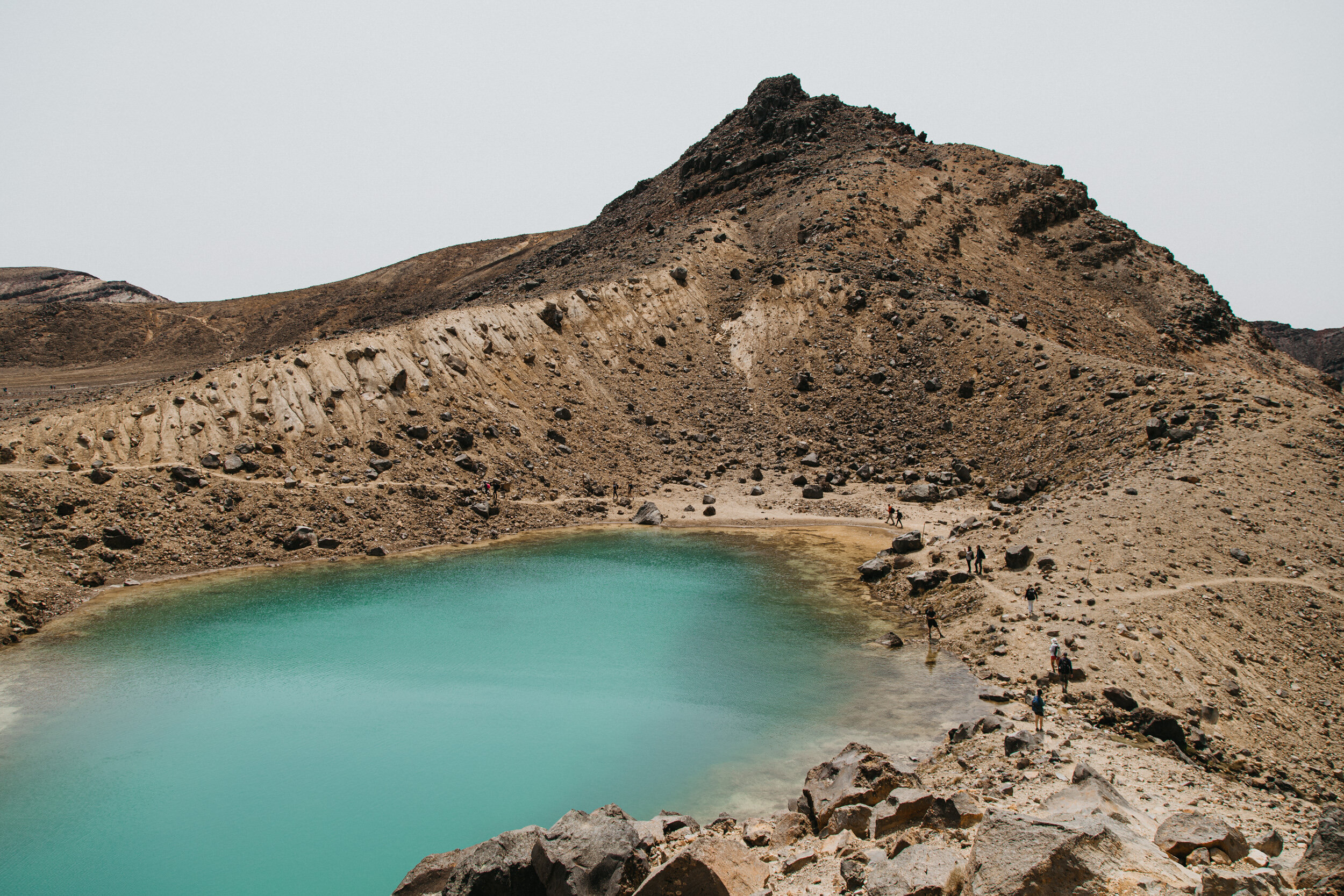
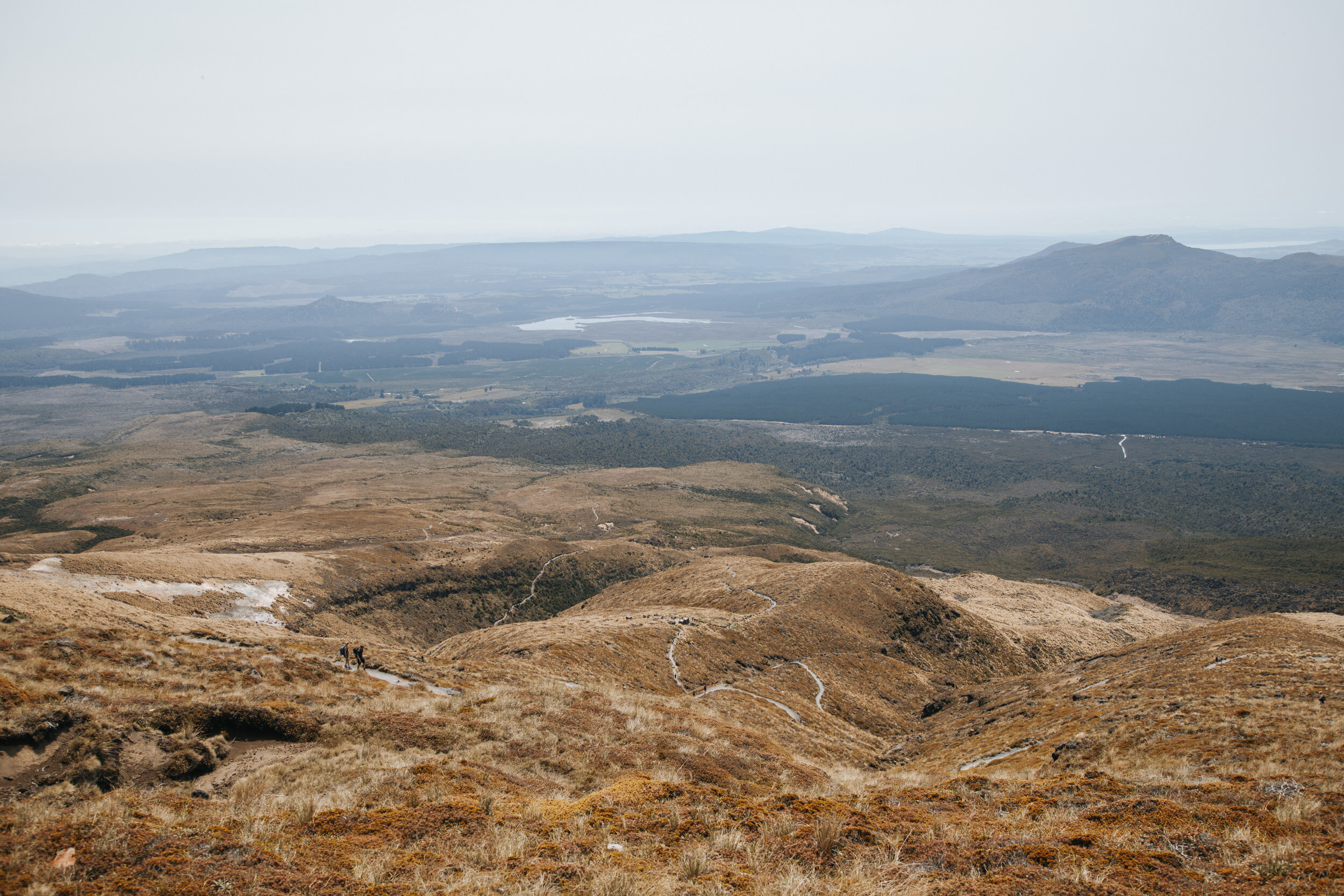
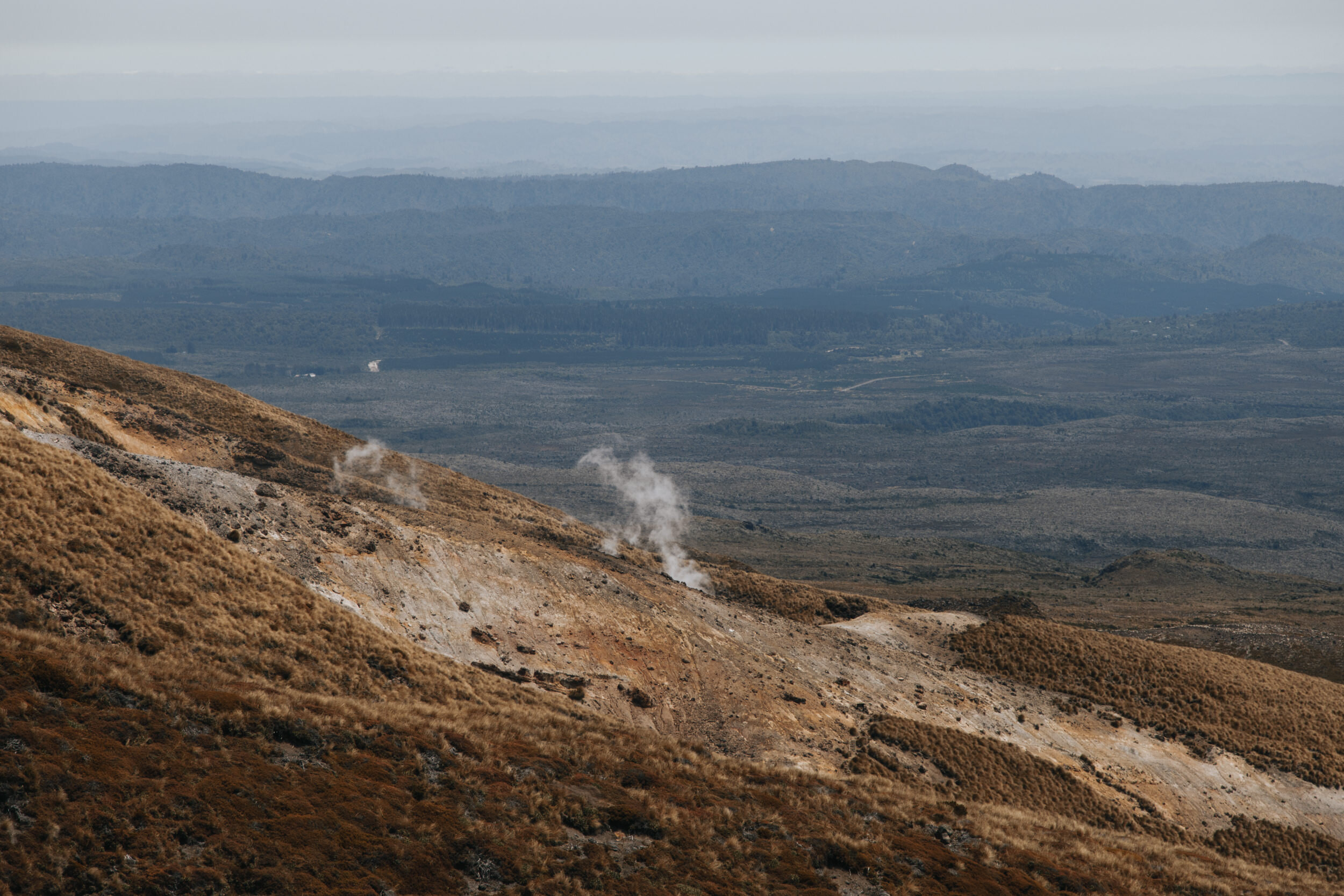
The main track continues around the Red Crater. Here you will enjoy spectacular views out over the Oturere Valley, Rangipo Desert, Kaimanawa Ranges and down towards the Emerald Lakes, but walk with caution, as it can get very blustery on a windy day.
Just above the Red Crater also marks the highest point of the crossing at 1886m. That’s a 766m vertical climb from the start of the trail!
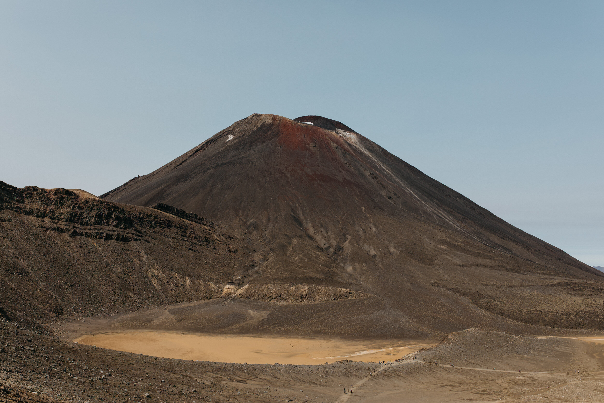
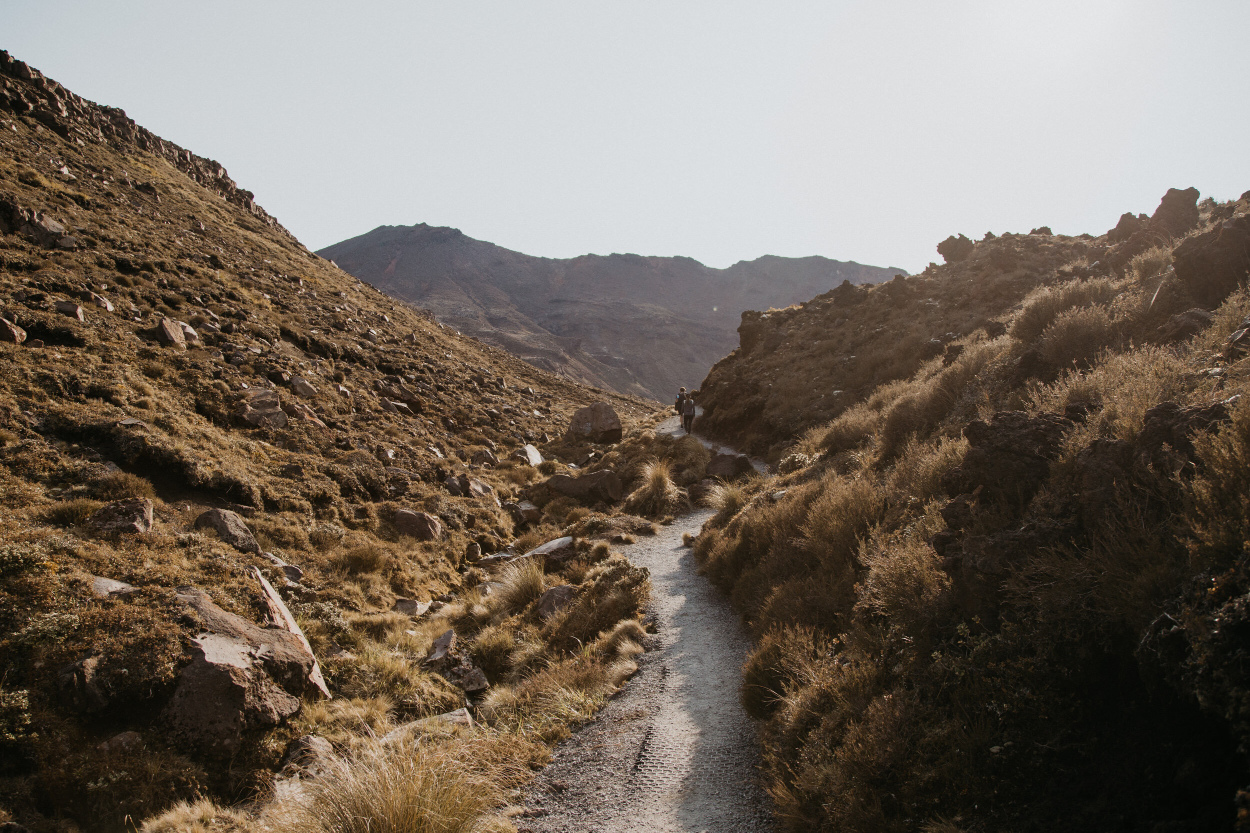
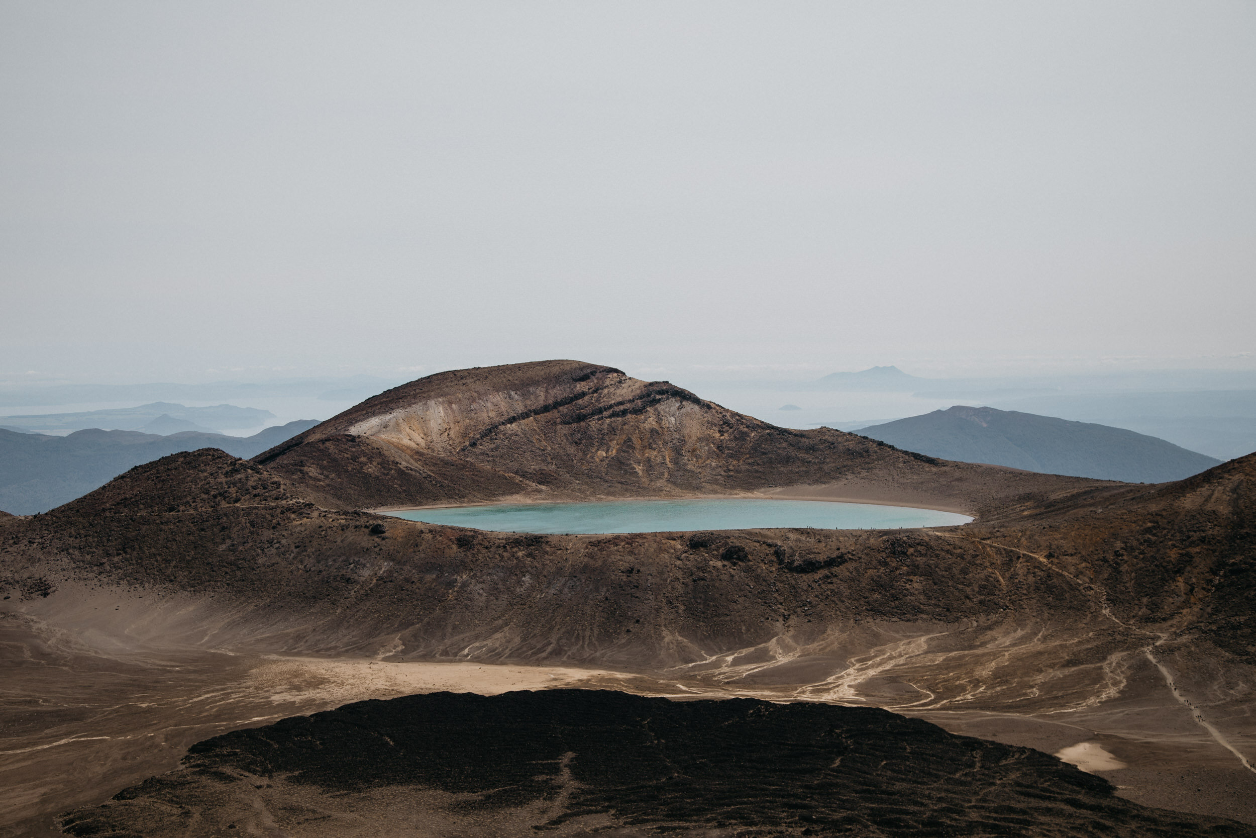
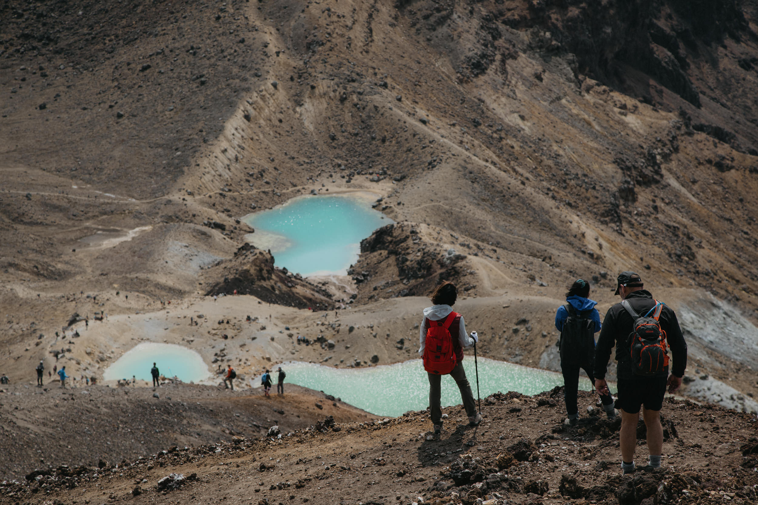
Red Crater to Blue Lake
Grade: Moderate - Allow 30 Minutes
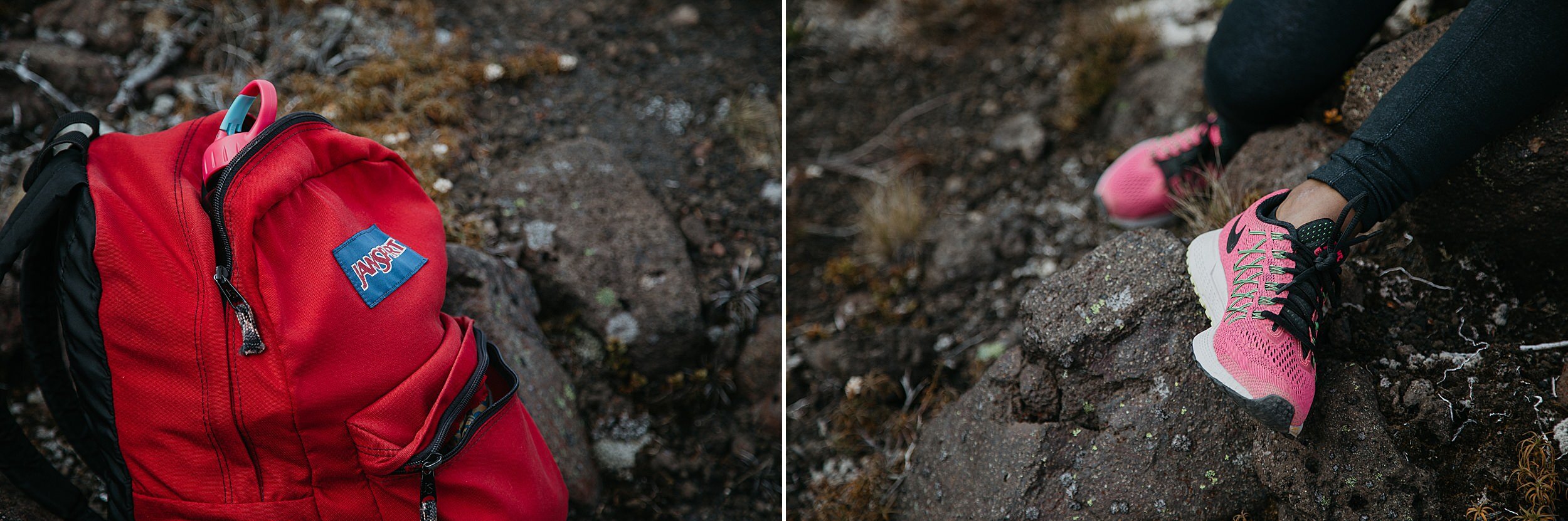
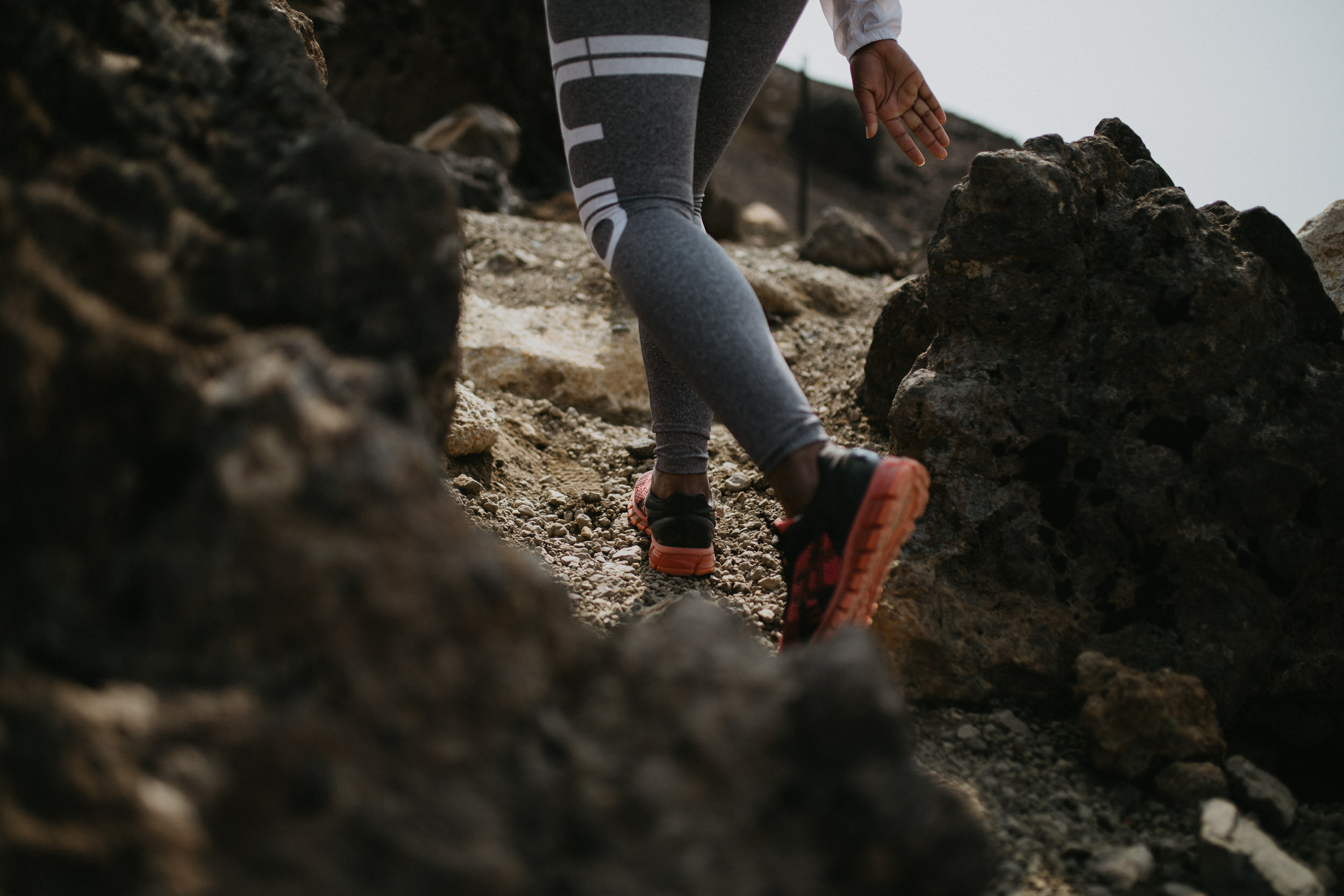
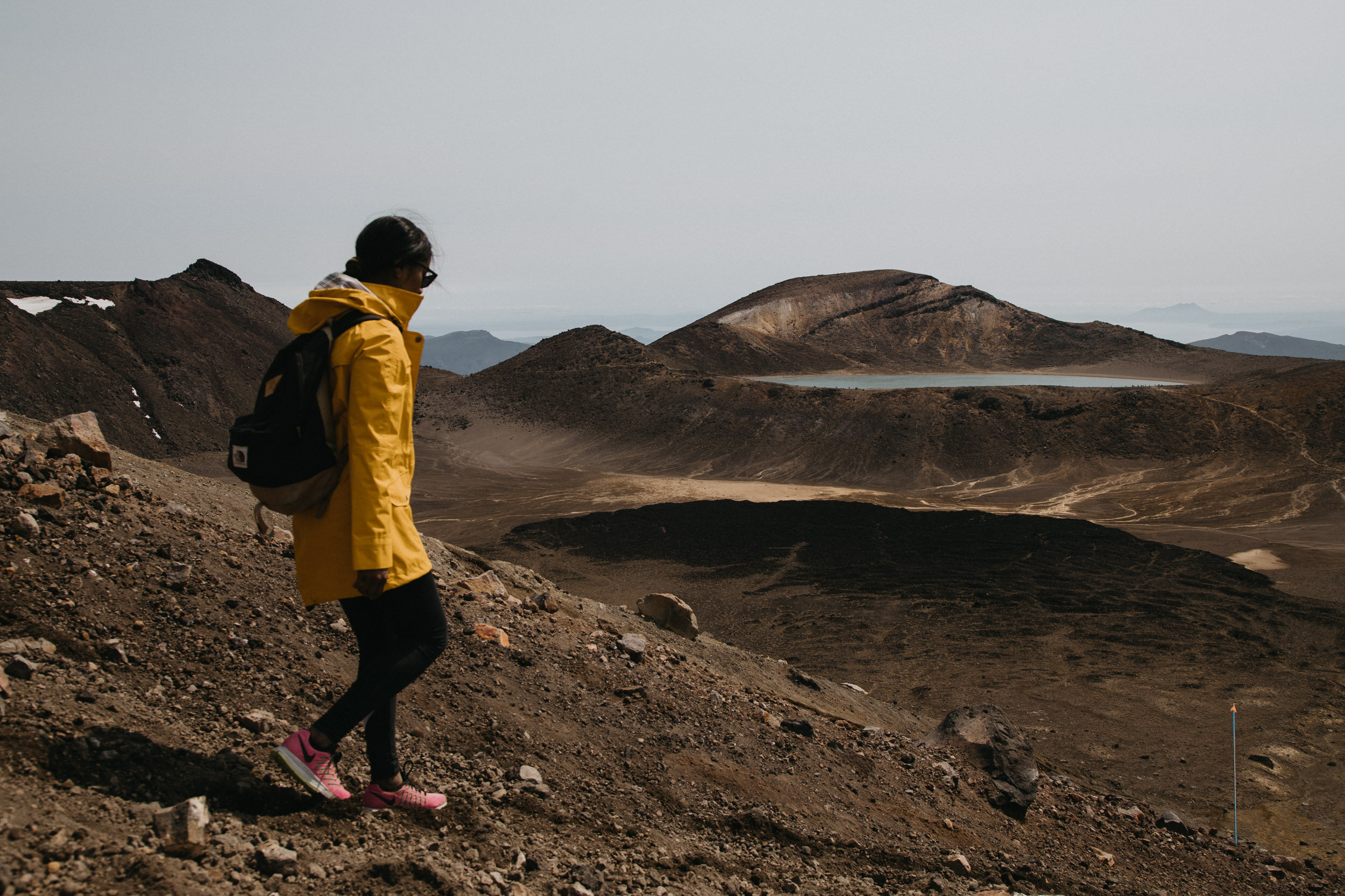
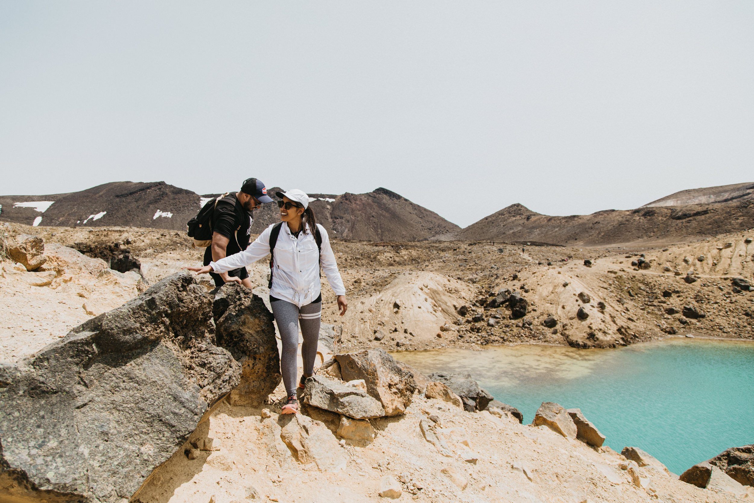
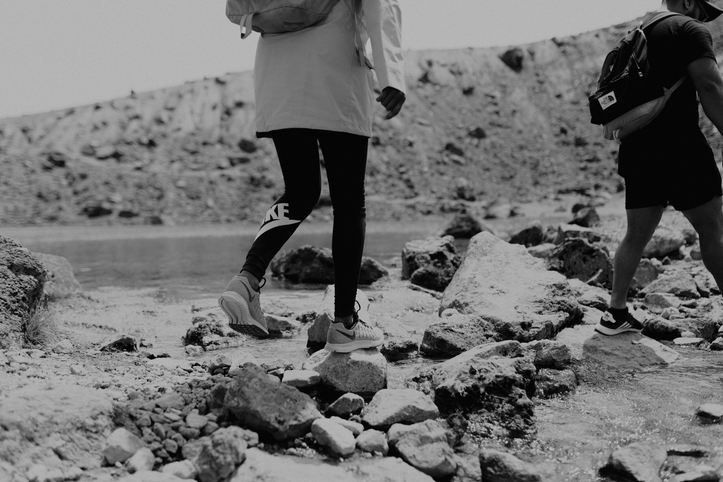
The descent from Red Crater demands extra care as loose scoria underfoot can move quickly and easily. I fell over once trying to go sideways and backwards. It’s best to just let the scoria take you. You will end up with rocks in your shoes. Hiking Poles would be useful.
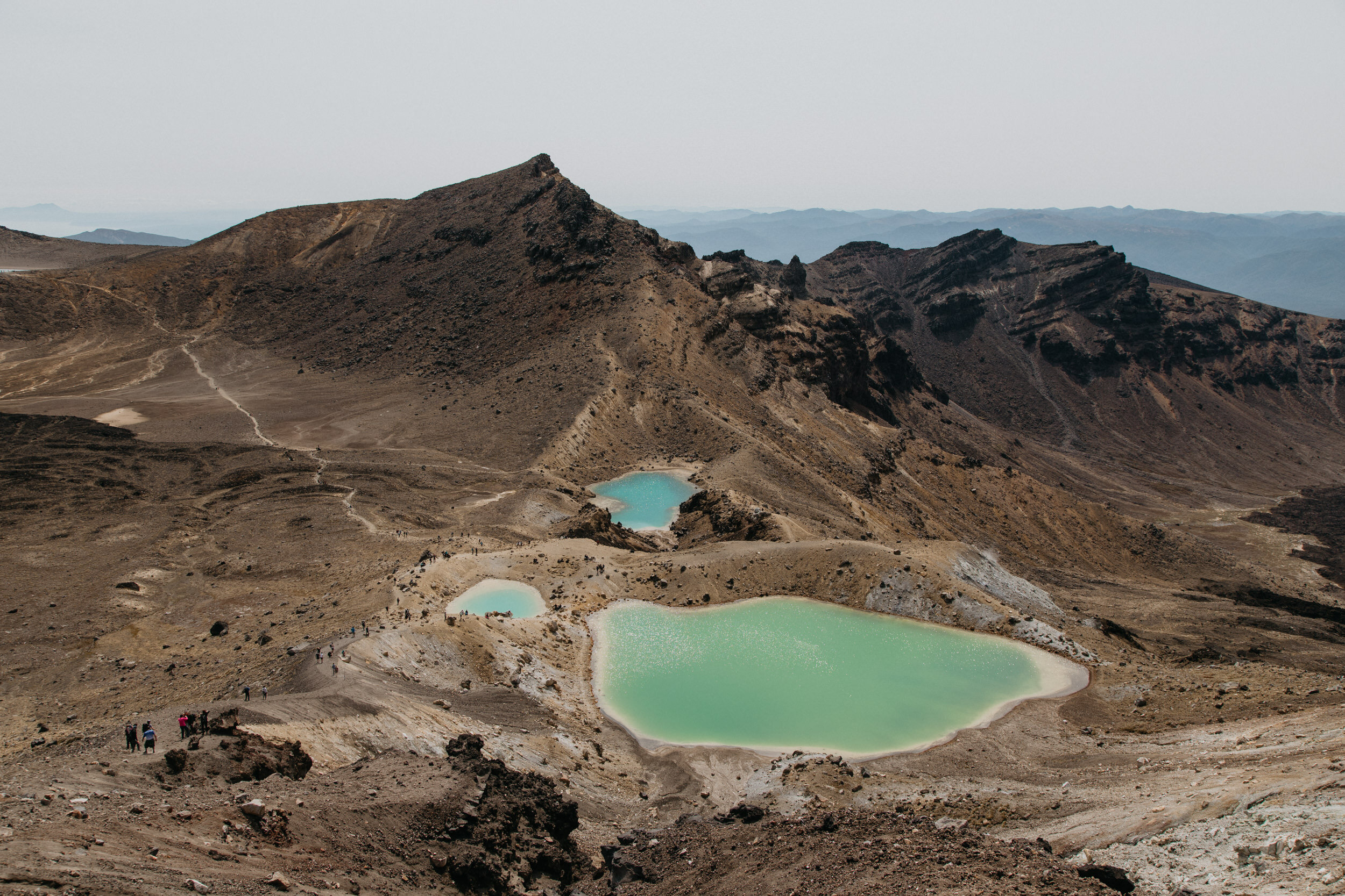
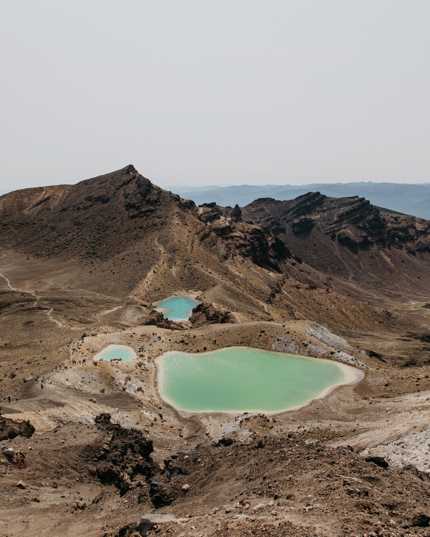
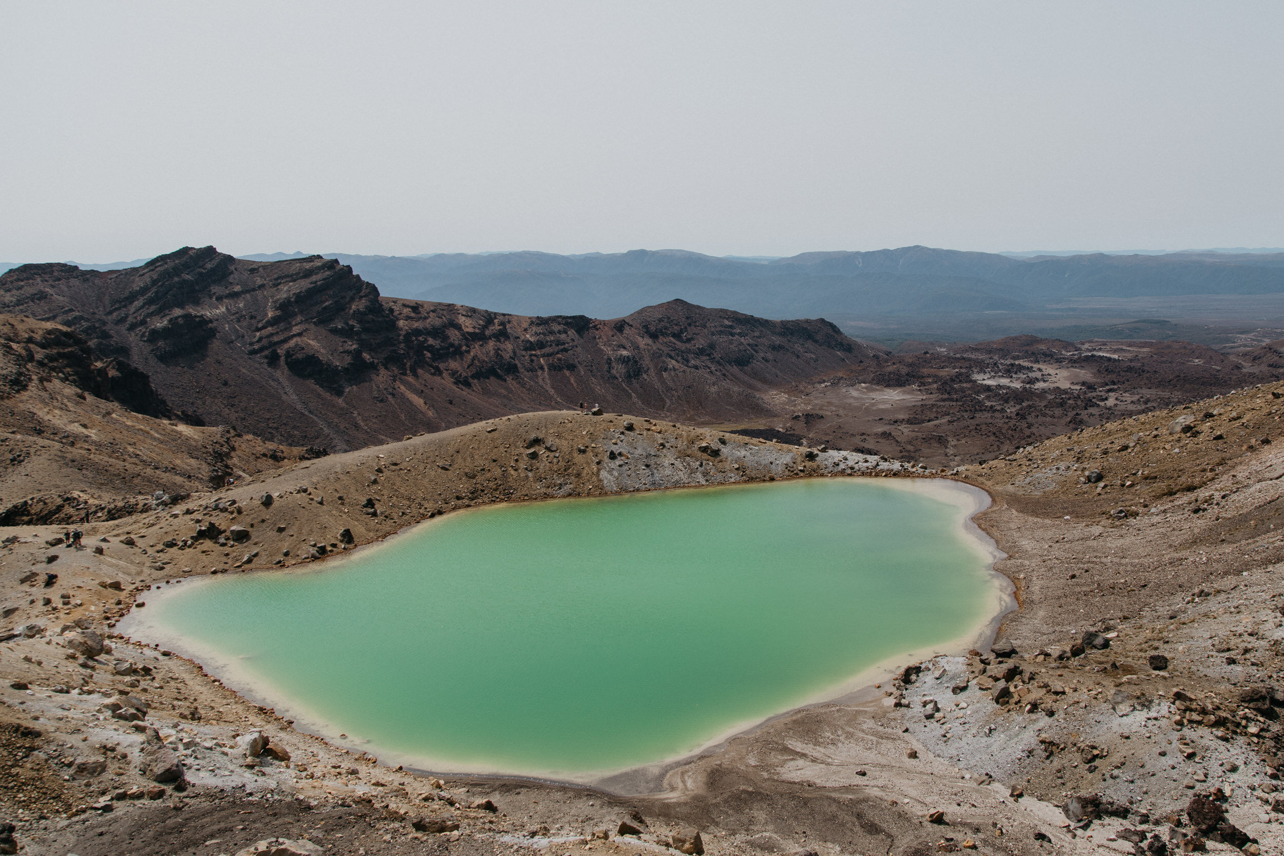
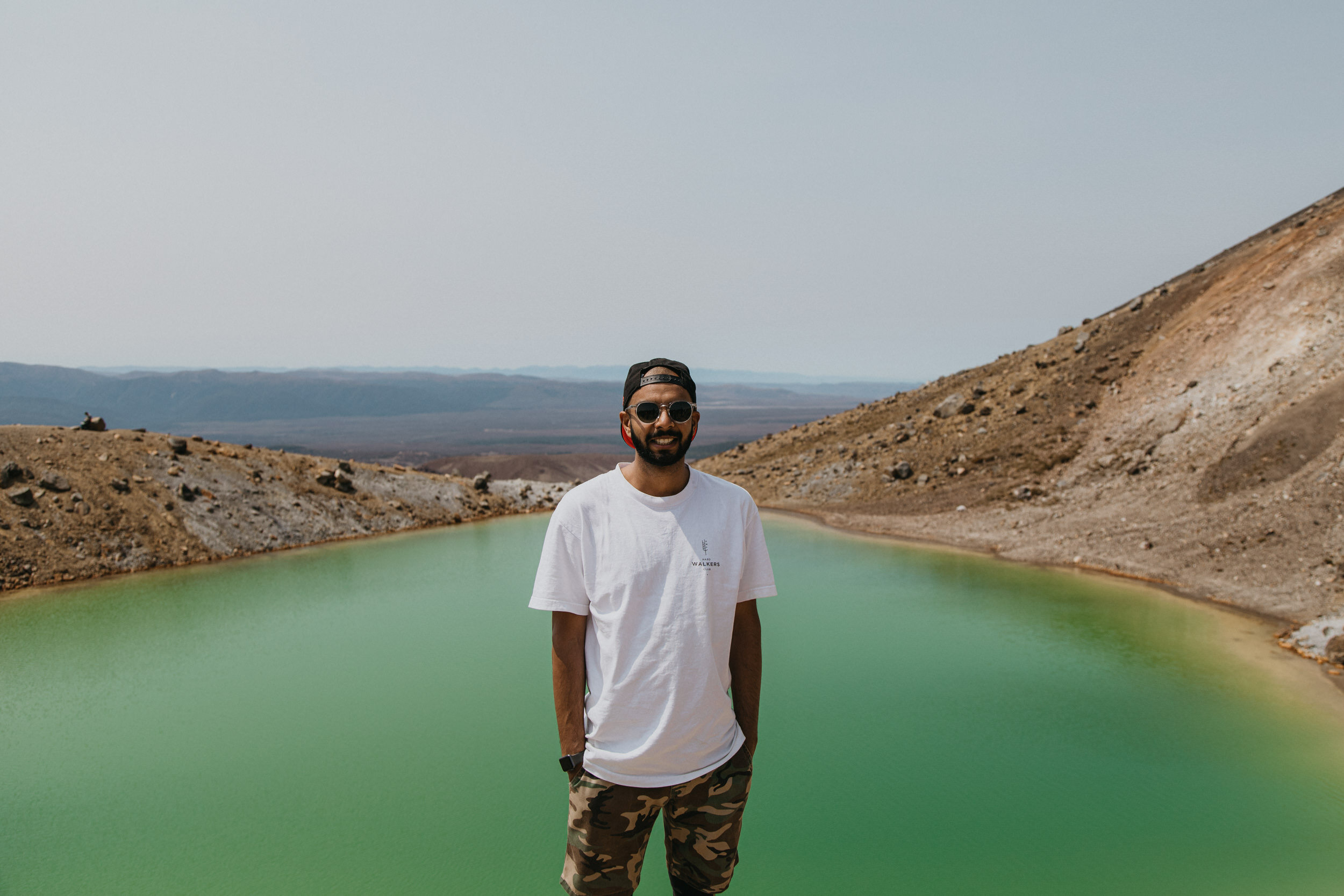
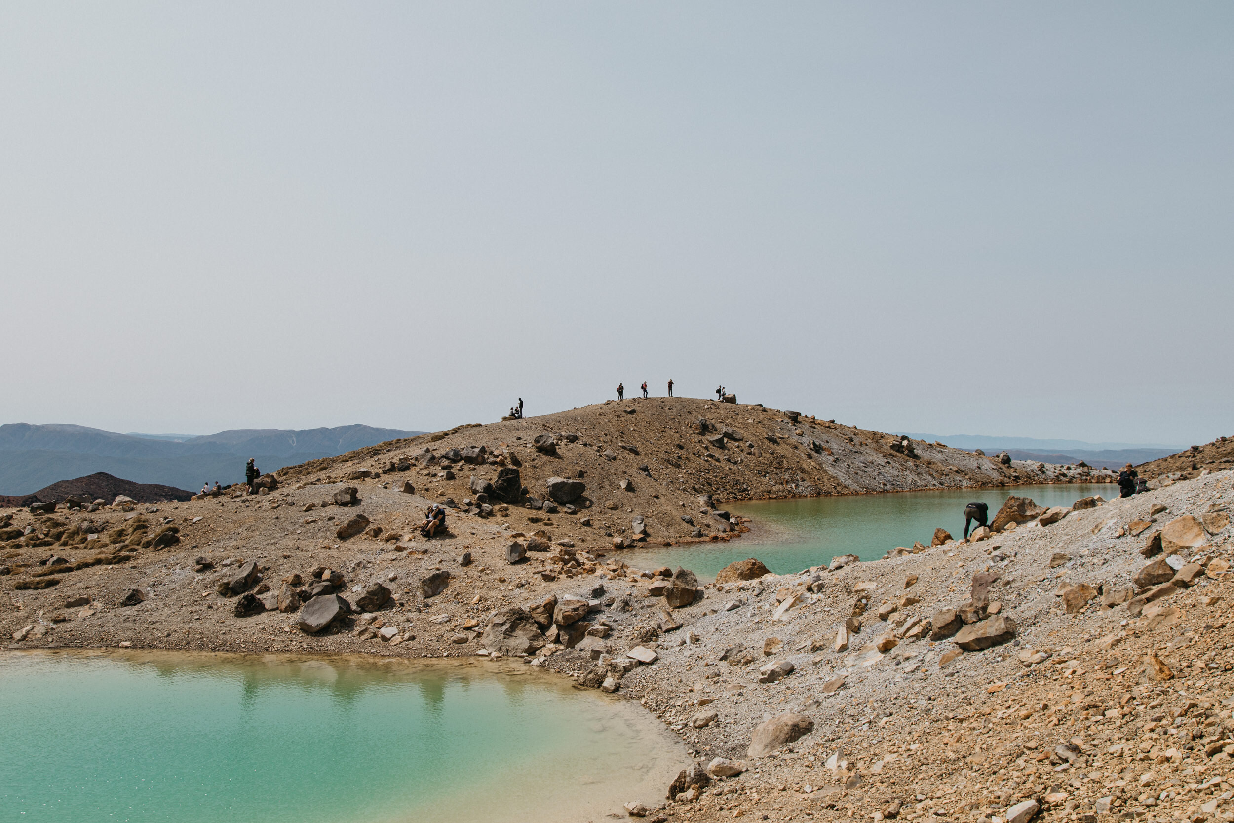
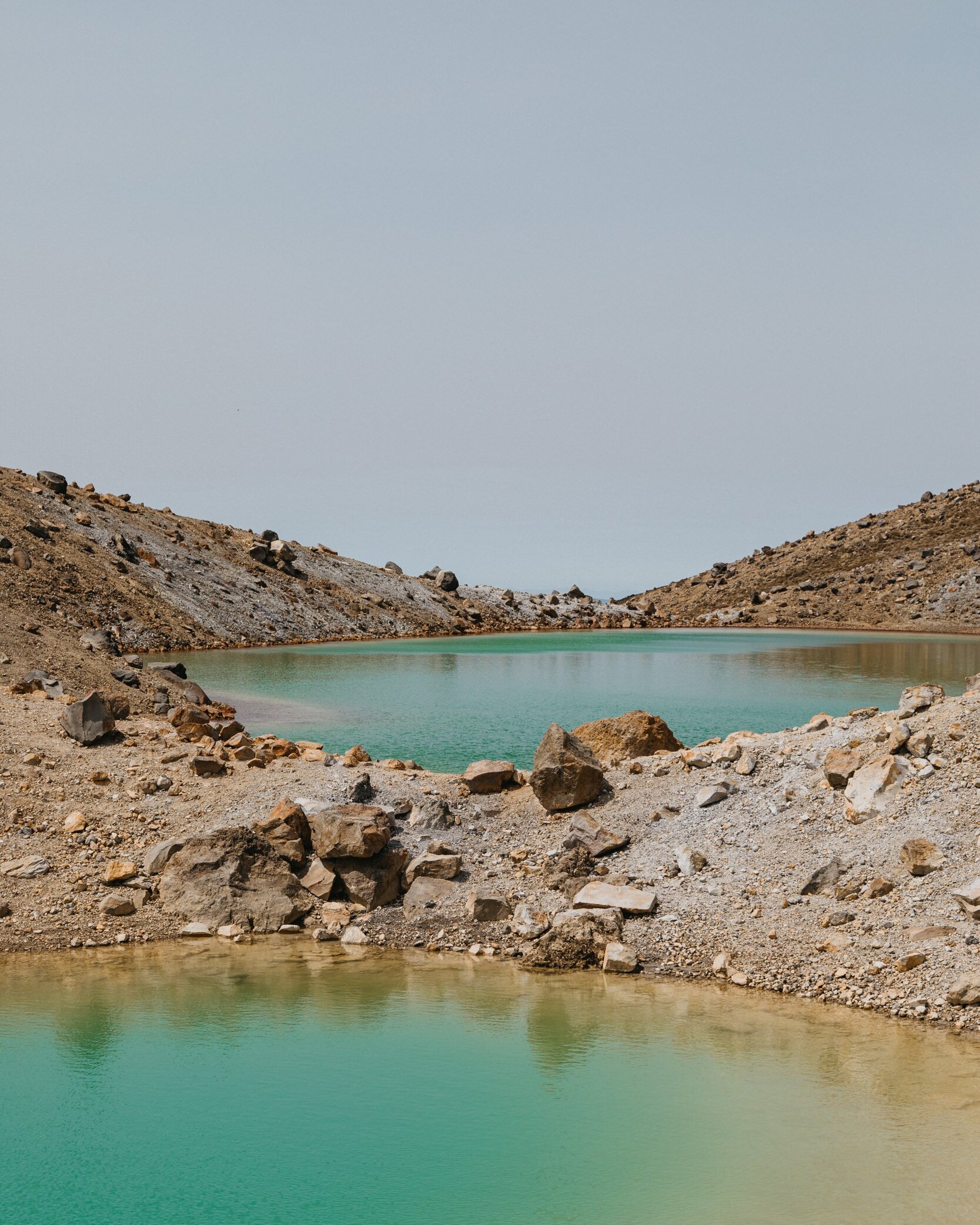
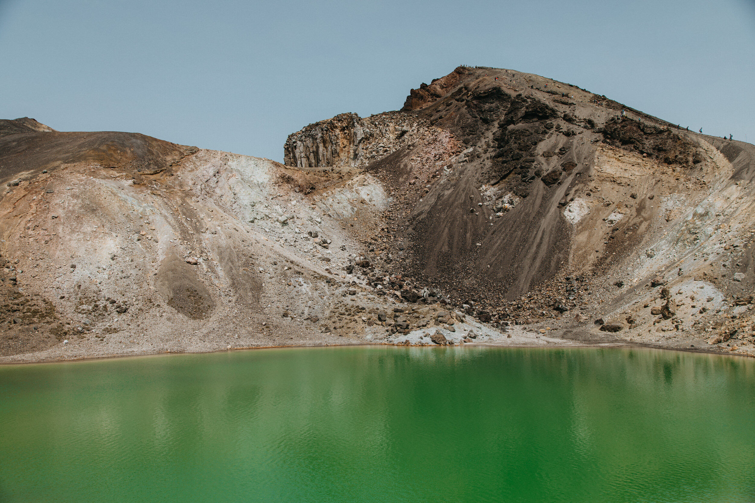
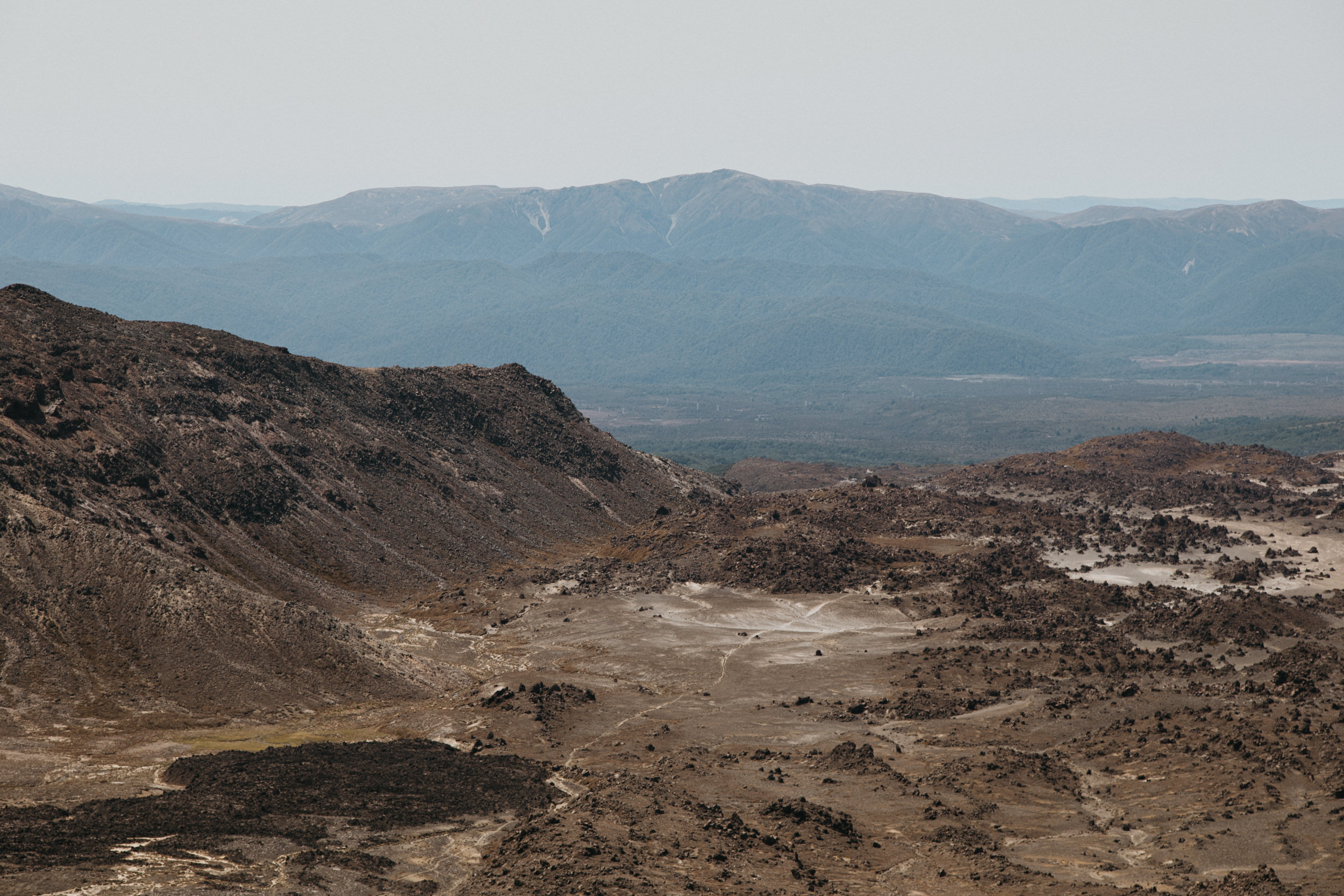
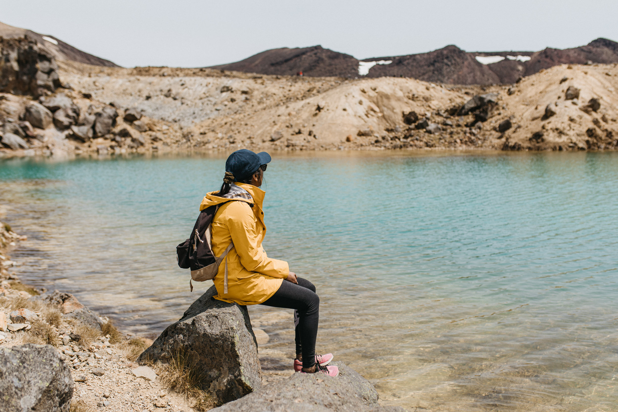
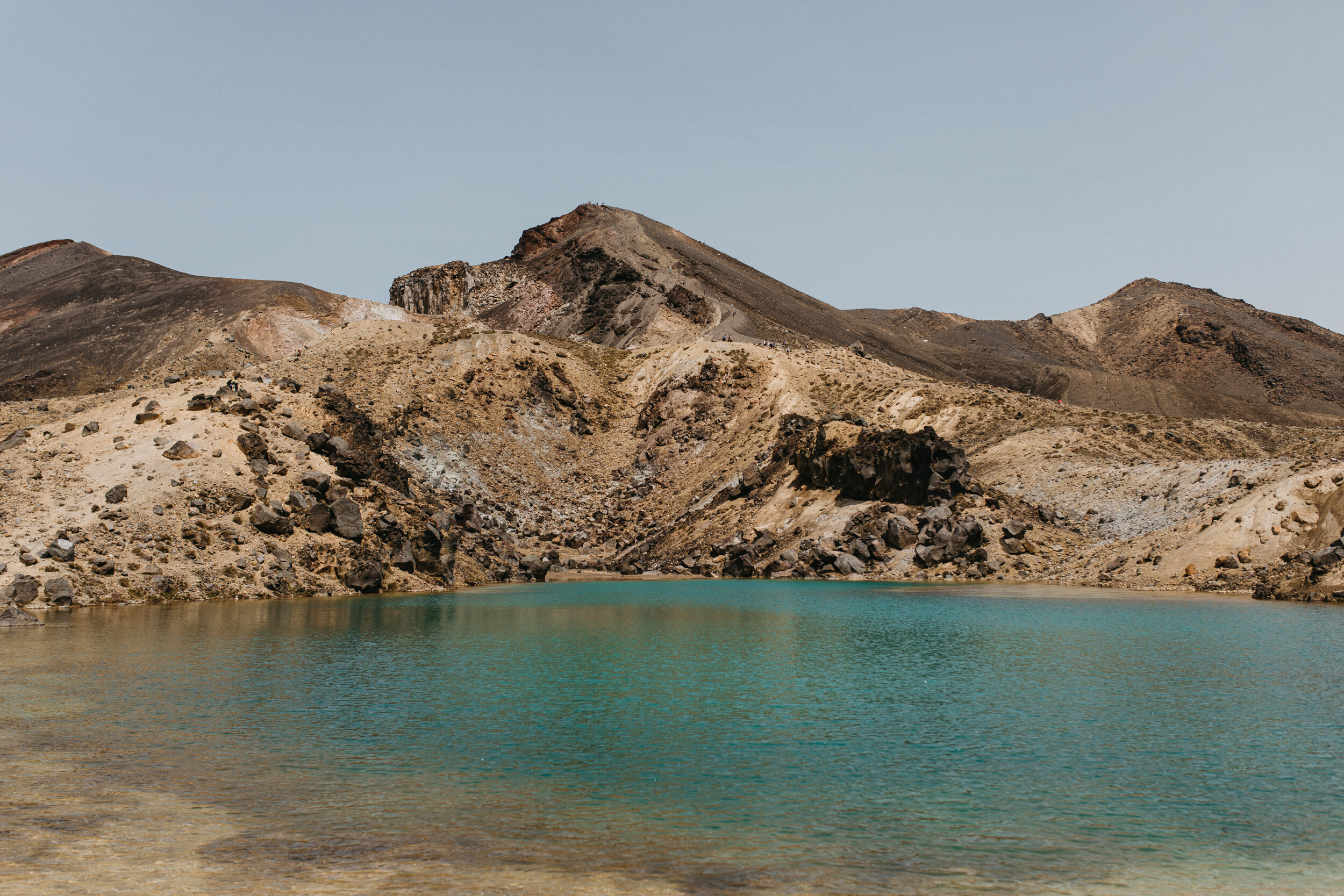
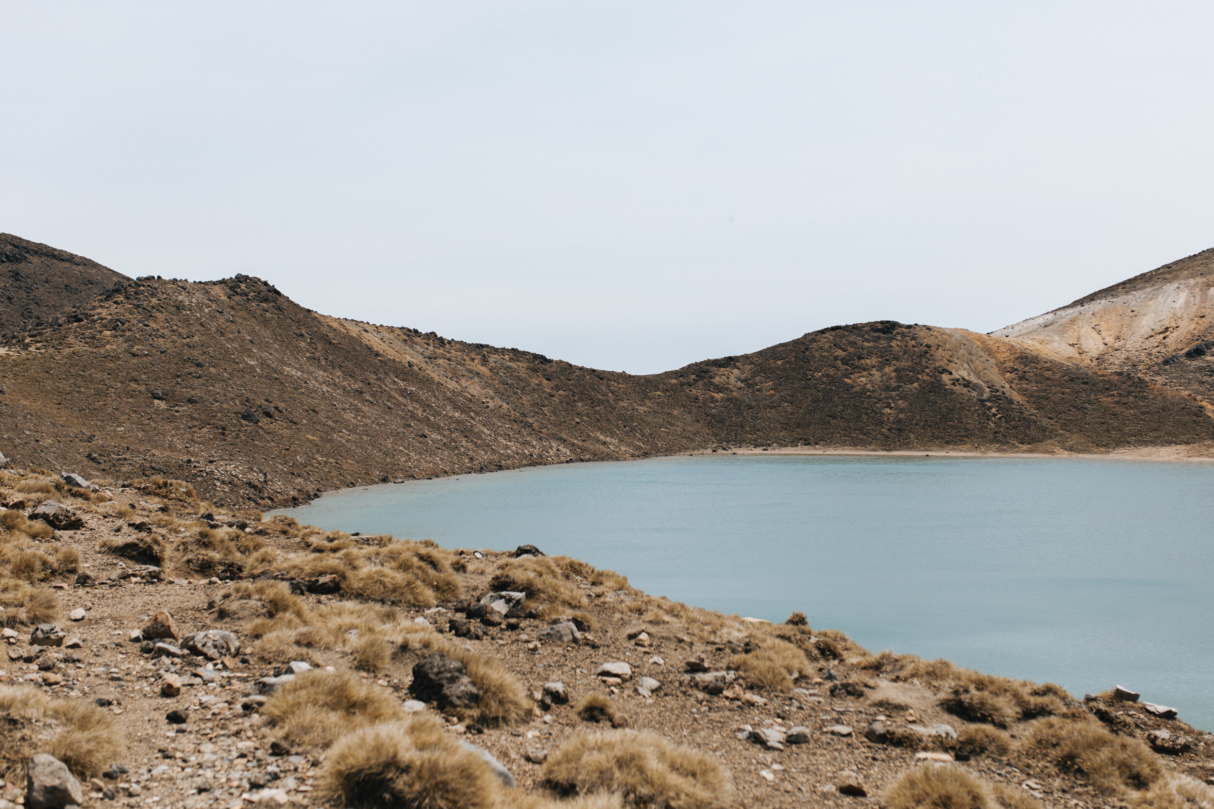
To the left you will see an old lava flow from Red Crater spreading out across the floor of Central Crater. To the right are the Emerald Lakes. Minerals leached from the surrounding rock cause the colour of the Lakes.
The steam vents above the lake are responsible for the sulphurous smell.
You will notice the track to Otureree Hut, part of the Tongariro Northern Circuit branches off just past the lowest lake.
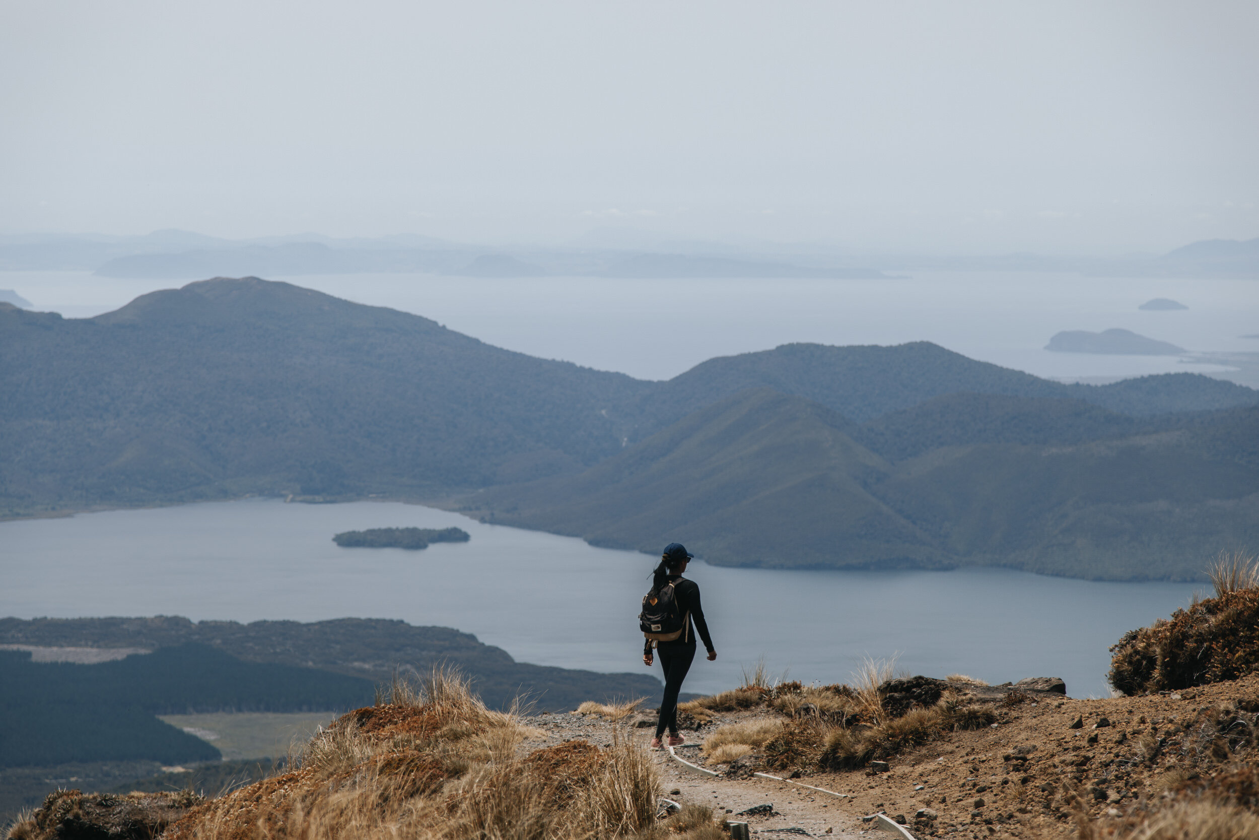
The Tongariro Alpine Crossing track follows around the edge of Central Crater then climbs up to Blue Lake (a cold acidic lake). The lake is Tapu (sacred) and it is disrespectful to touch, enter, eat or drink around its shores.
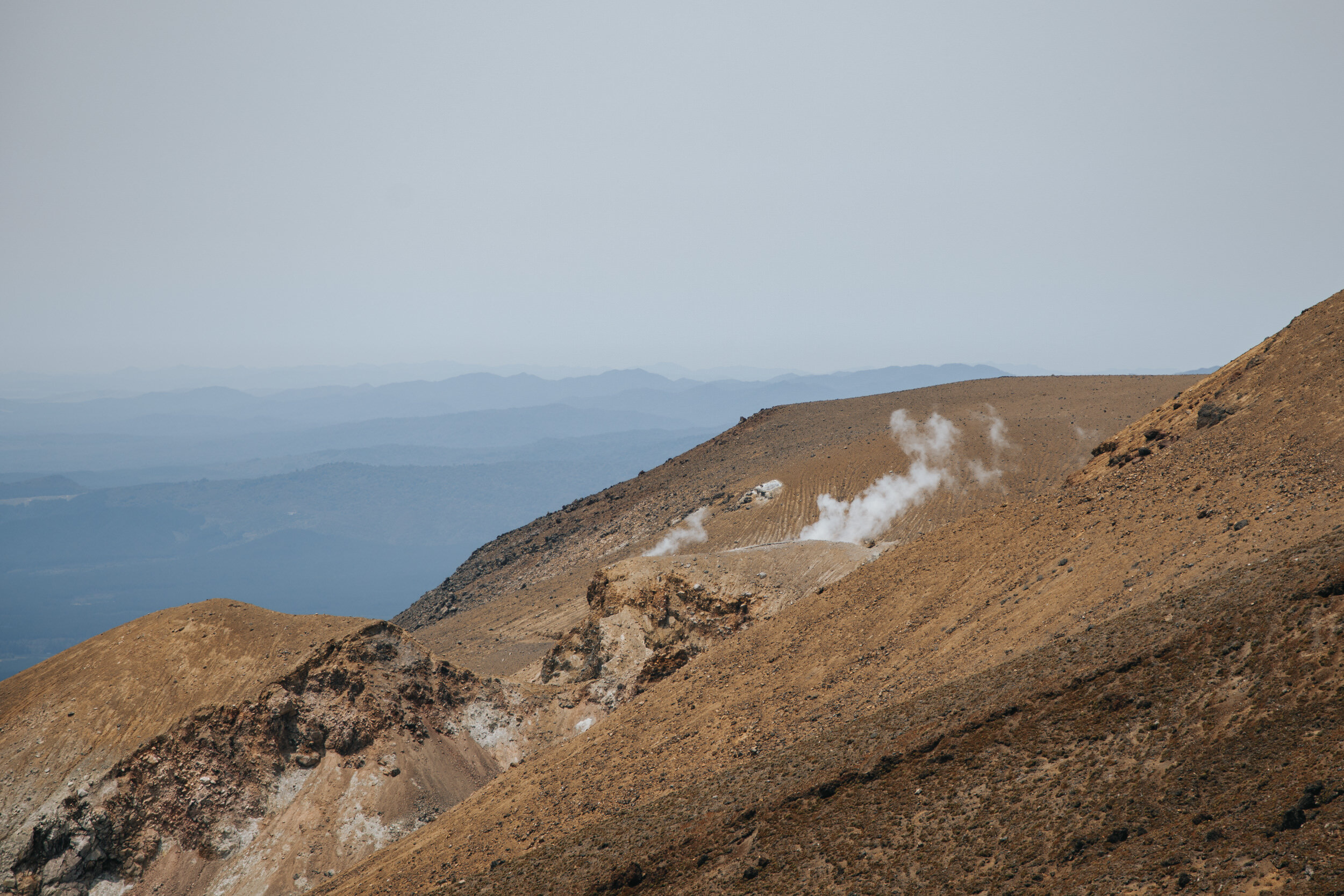
Blue Lake to Ketetahi Shelter
Grade: Moderate - Allow 1 Hour
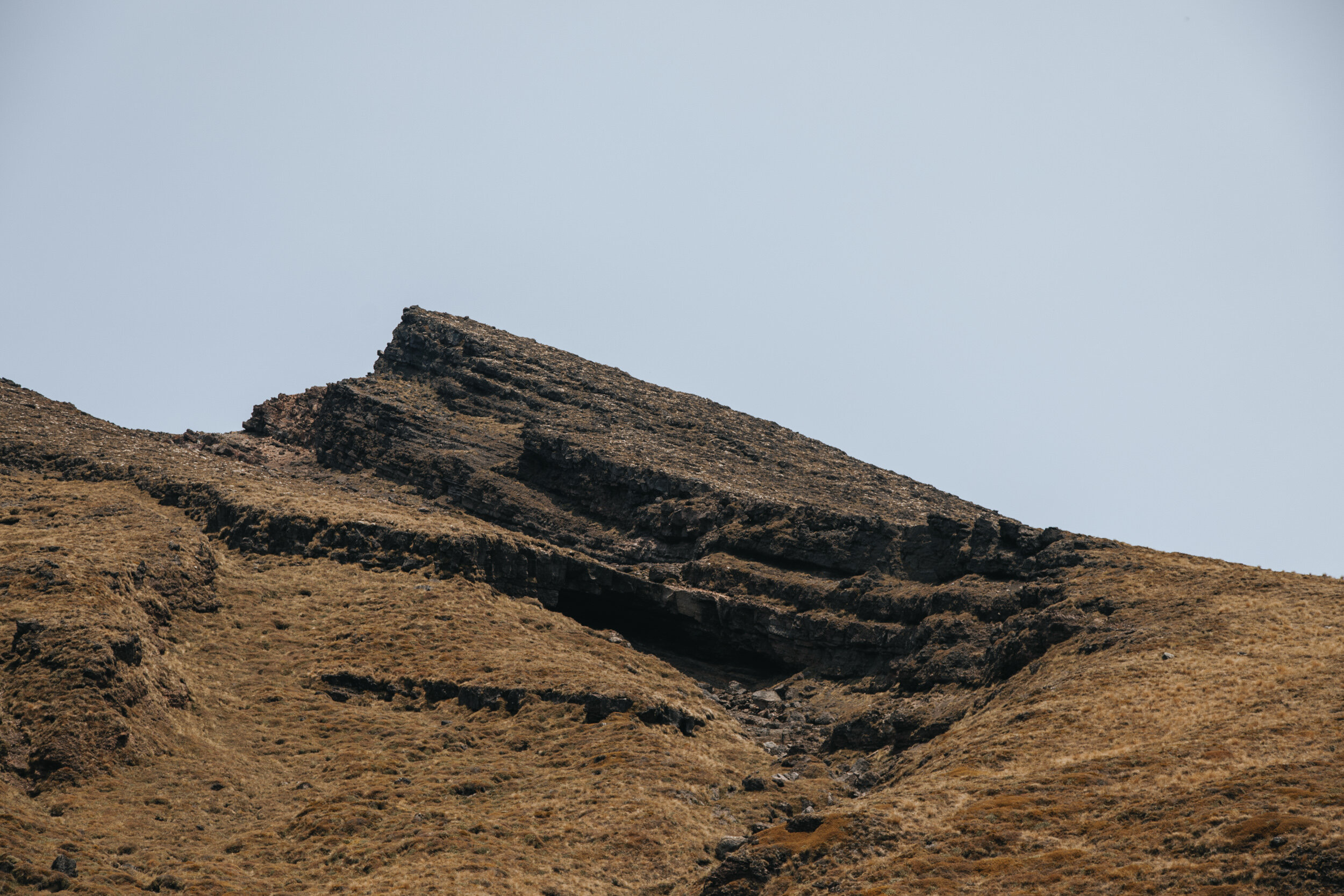
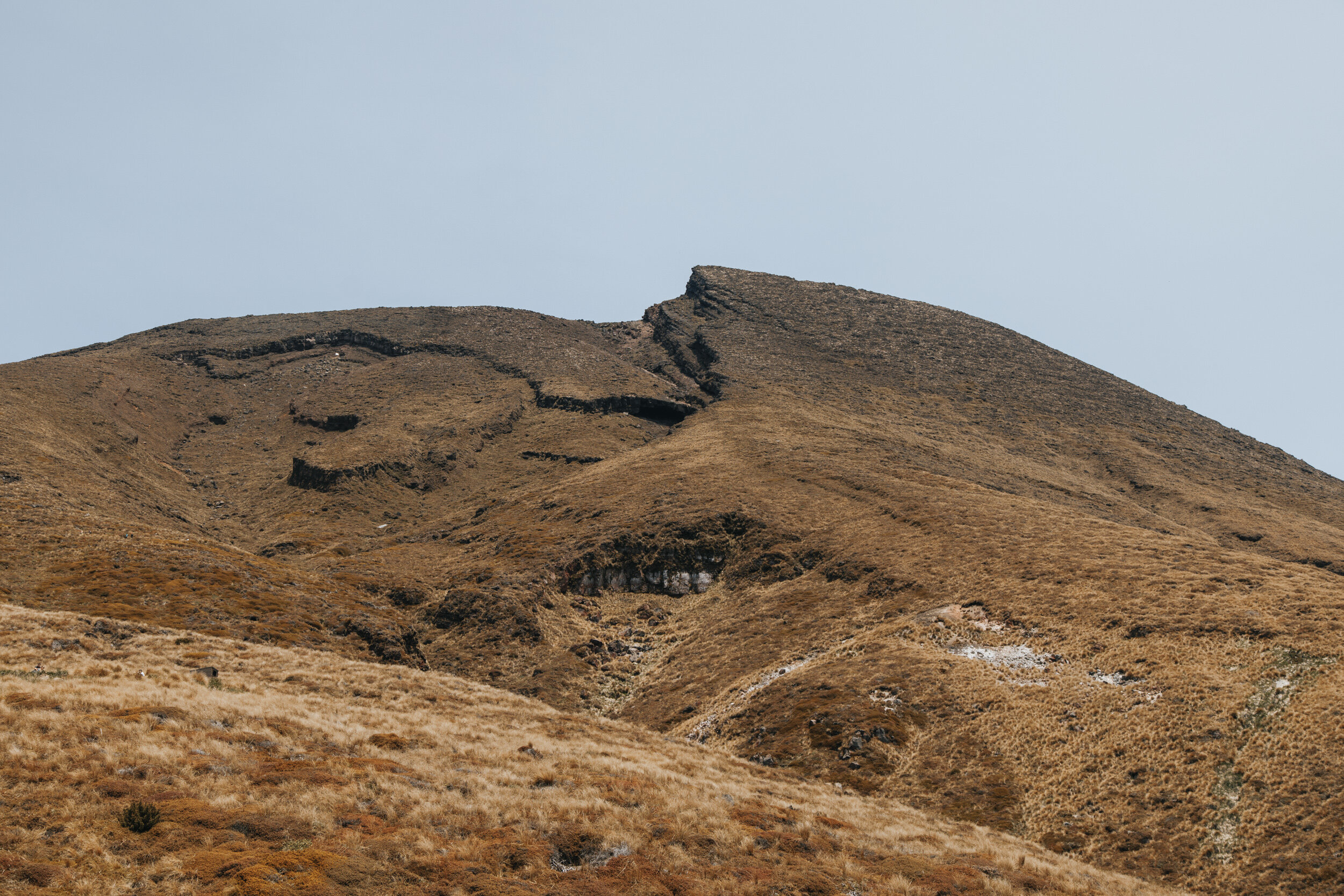
A short easy climb to the edge of North Crater. This crater was once filled with molten lava and then cooled and solidified to give a level surface more than 1000m wide.
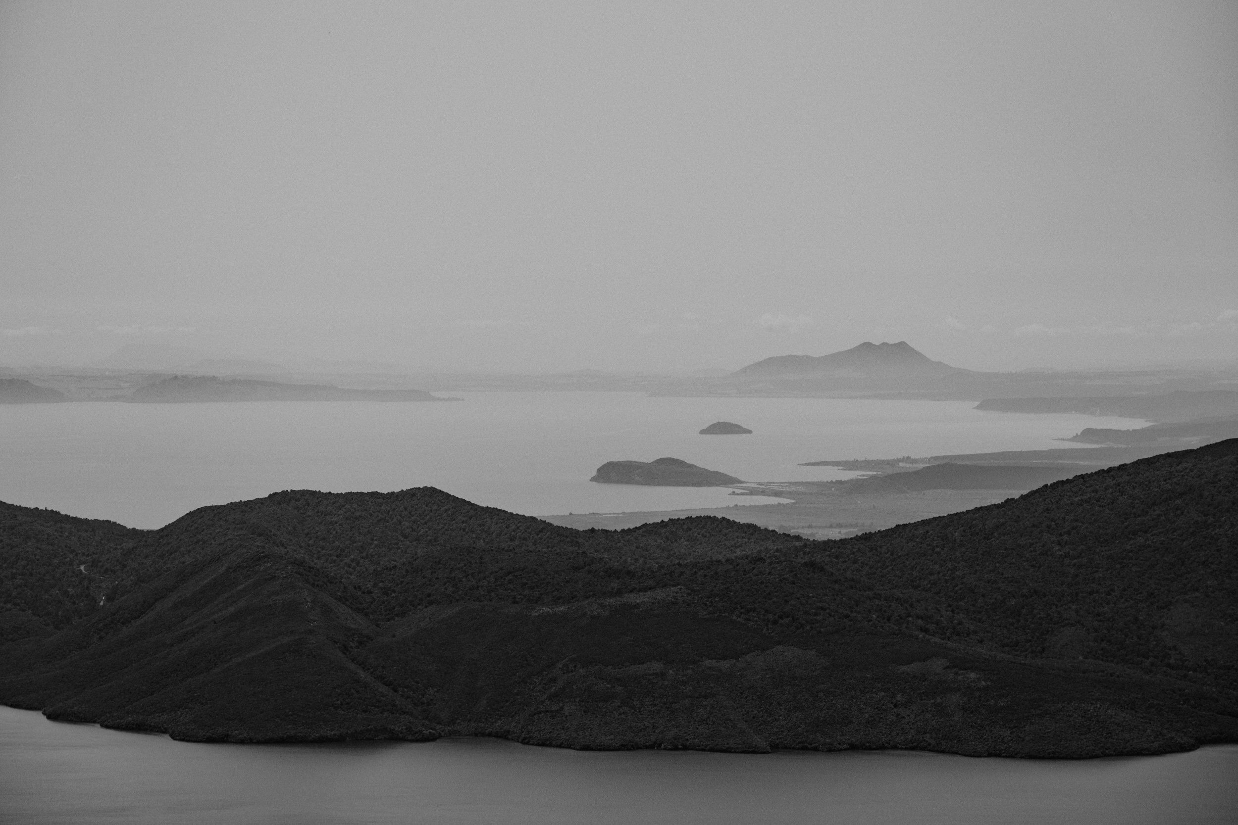
You'll have a dramatic and inspiring outlook, in good weather there are spectacular views out over Mount Pihanga and Lake Rotoaira across to Lake Taupo.
In August 2012 a small eruption from the Te Maari crater sent ash and blocks up to 1m in diameter over the track. Some blocks landed on the roof of the Shelter, luckily no one was inside as it could have caused casualties. The Shelter is no longer there as the future eruptions may occur.
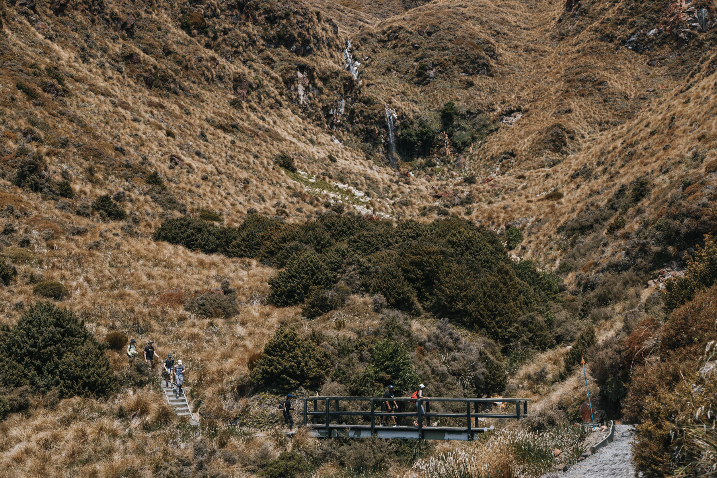
Ketetahi Shelter to Ketetahi Car Park
Grade: Moderate - Allow 2 Hours
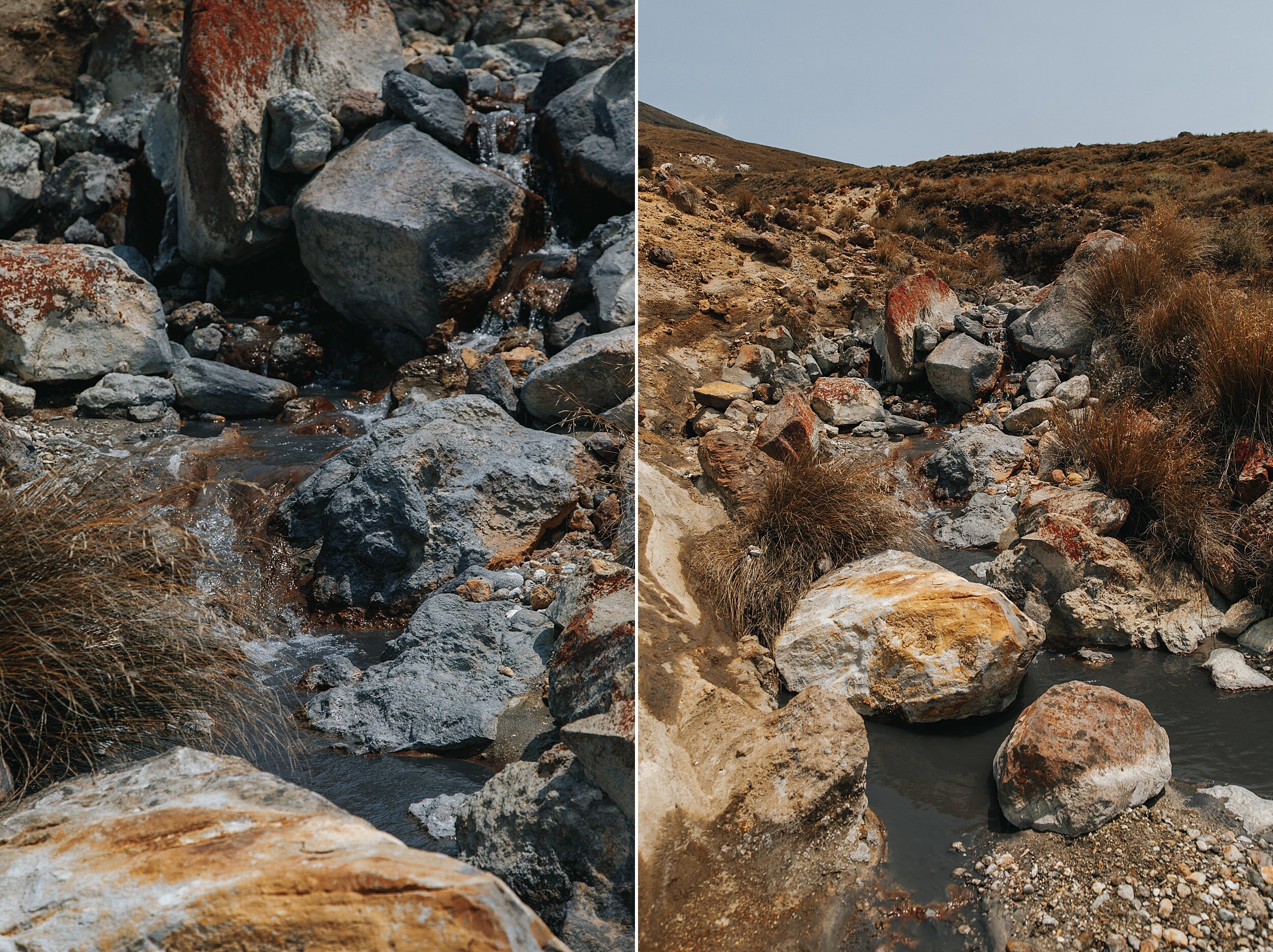
The track crosses the stream that flows down from Ketetahi Springs and you will notice minerals in the water have stained the rocks.
Visitors are asked not to leave the track, as the Springs are on private land. Follow the poled route down through the open tussock land to the clearing where you will find some seats.
At this point the track drops steeply to the Mangatetipua Stream. A short side track leads down to a waterfall a few minutes before reaching the Ketetahi Car Park.
Disclaimer
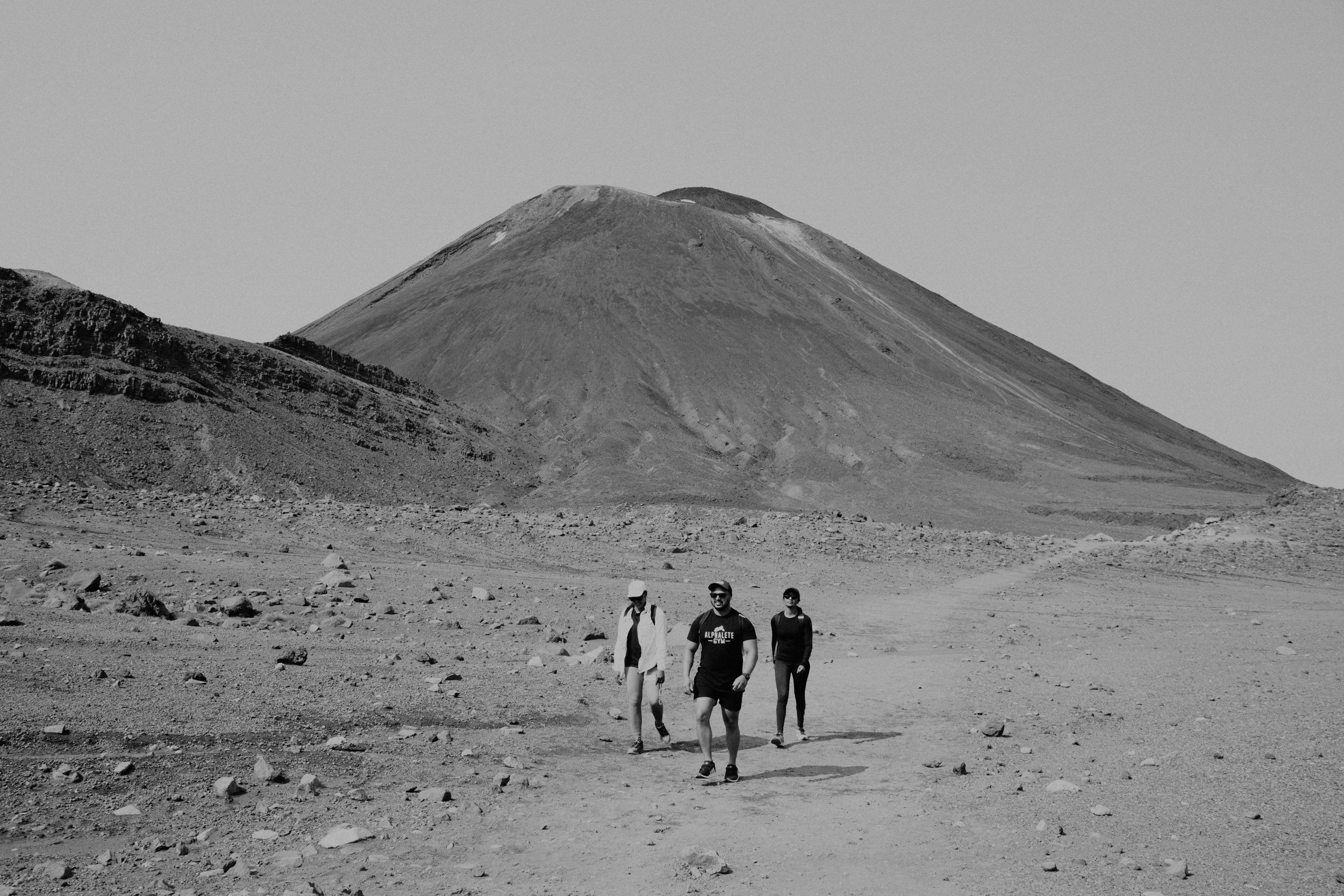
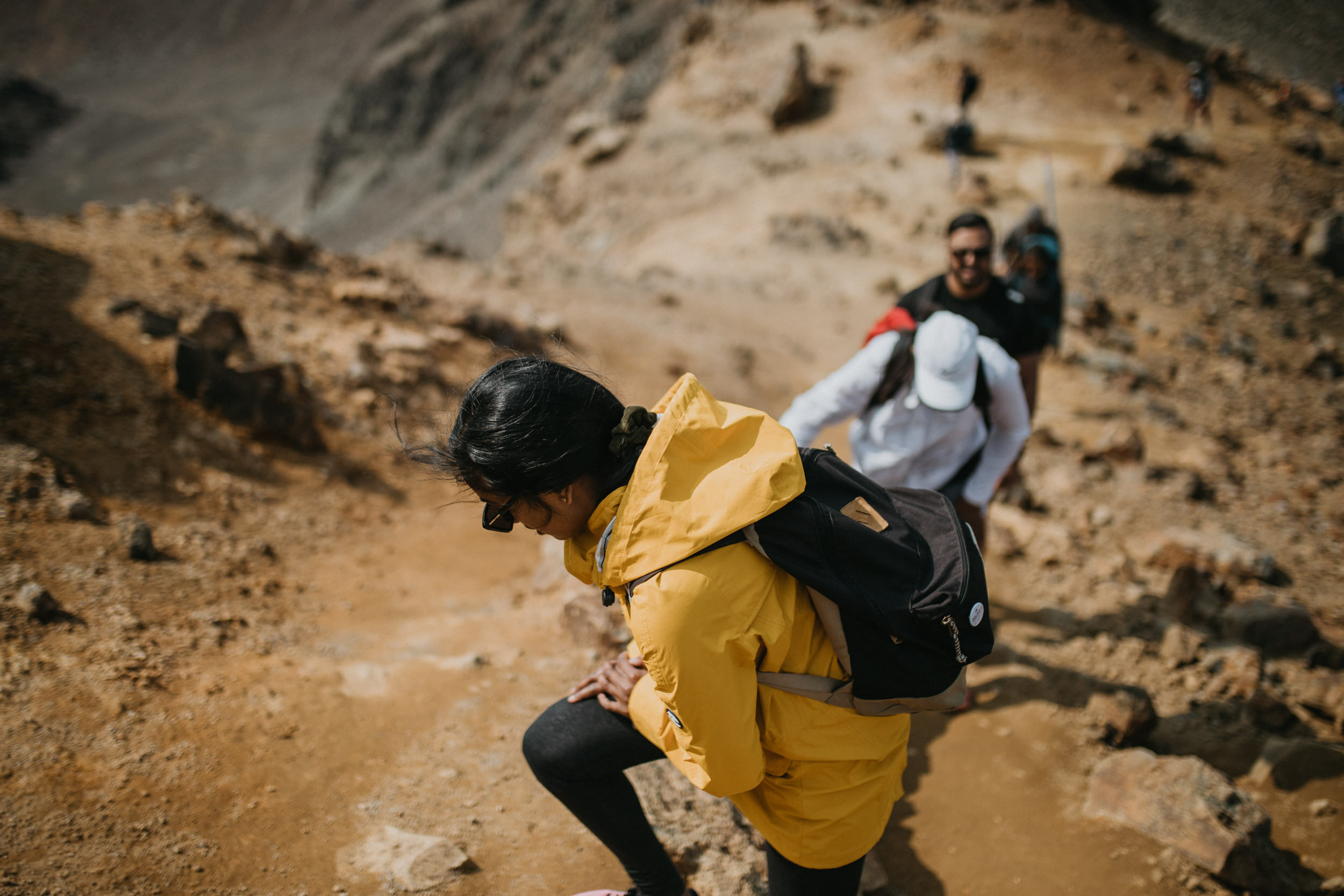
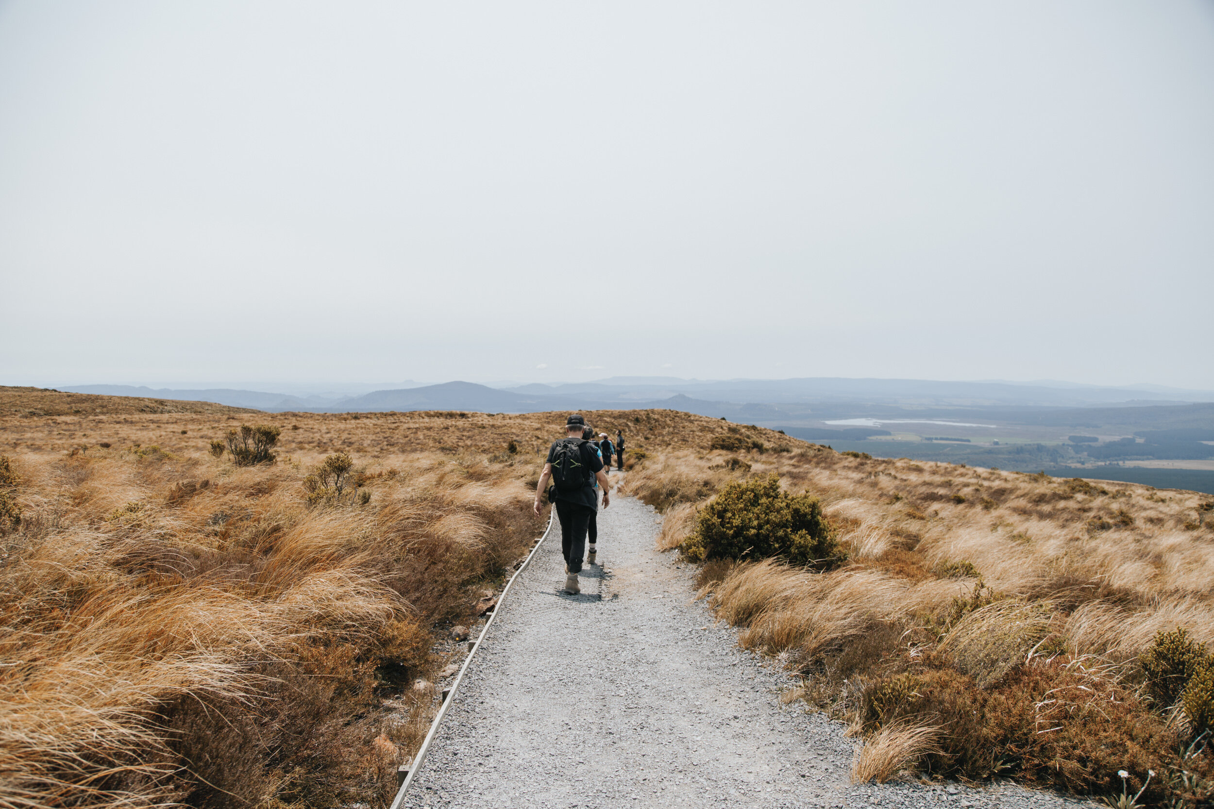
The last seven or so kilometers aren’t easy. It’s not that you’re coming down. It’s that after the first 12km of climbing your body is starting to hate you. Knees become weak, shoulders heavy and feet are on fire. The time it takes to pass each kilometer marker feels like an eternity and in the heat only amplifies this. The saving grace is when you hit the tree line and get escape the sun in the shade.
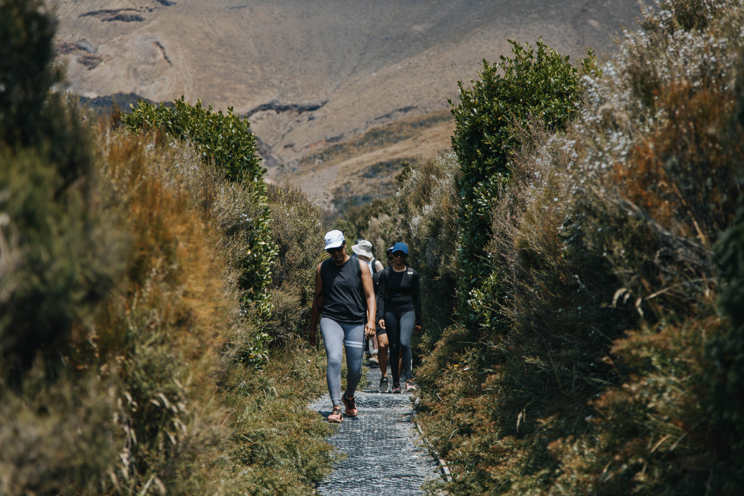
All in all, one of the best days spent to challenge the body and mind. We got really lucky with the weather and our last minute call to do it paid off.
Not a bad way to enter a new decade.


Useful links
Accomodation - Bachcare
Shuttle - Tongariro Crossing Shuttles
Volcanic Activity information - Geonet
I love creating images that speak to me.
I grew up in a small town that nobody really knows about, Levin. Spent a good ten years in Hamilton making some of the best friends anyone could have. And now I’m living, working and playing in the city of Auckland, New Zealand. Also a small country that people have trouble locating – I’m looking at you America!
Life is about stories, and that’s what I love to capture and document. My shooting style is unobtrusive. You may be a natural in front of the camera, or have no idea what to do but before we even start I’ll make sure you’re comfortable and relaxed.
Things I love: Travelling to wherever I can, my partner Monita, homemade burgers, wood fired pizzas, the smell of rain on a hot summers day, mountains, the snow, sunsets and sunrises, star gazing, natural light, the aesthetic of wood, crashing waves and day dreaming.